Showing 961–1008 of 1,741 records.
 Geography
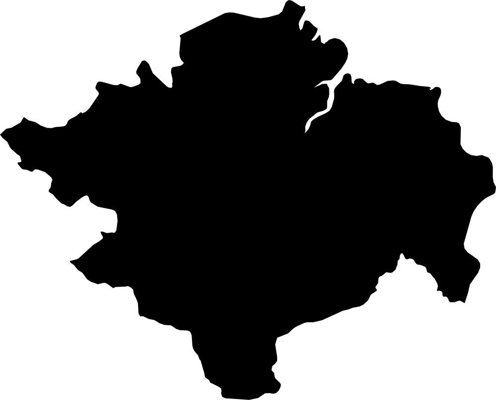
South Sumatra, Indonesia
84,705.8 km² Area (map outline)
Explore · approximate map area
Province in Indonesia
Area calculated from the Natural Earth 5.1.1 generalized map outline using a local equal-area projection. The answer uses the same simplified outline shown, including islands and holes. This is a map comparison, not a precise surveyed or legal area.
Natural Earth 5.1.1 — Admin 1 states and provinces ↗Artwork: Natural Earth 5.1.1; projected and simplified by scripts/import-geography.py · Public domain
 Geography
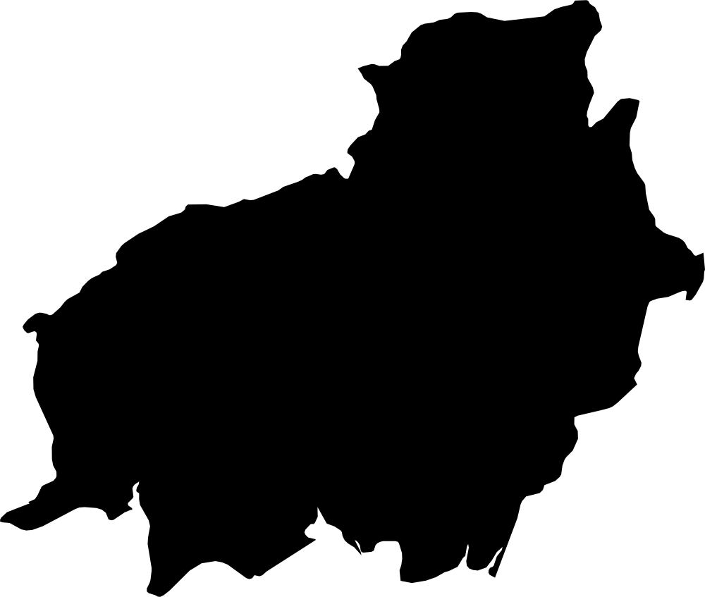
Central Kalimantan, Indonesia
152,031.9 km² Area (map outline)
Explore · approximate map area
Province in Indonesia
Area calculated from the Natural Earth 5.1.1 generalized map outline using a local equal-area projection. The answer uses the same simplified outline shown, including islands and holes. This is a map comparison, not a precise surveyed or legal area.
Natural Earth 5.1.1 — Admin 1 states and provinces ↗Artwork: Natural Earth 5.1.1; projected and simplified by scripts/import-geography.py · Public domain
 Geography
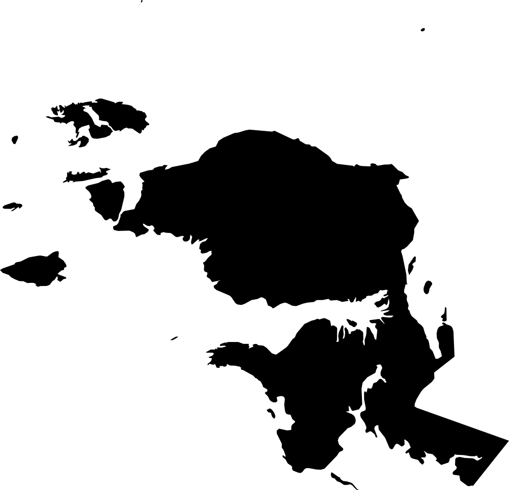
West Papua, Indonesia
95,321.3 km² Area (map outline)
Explore · approximate map area
Province in Indonesia
Area calculated from the Natural Earth 5.1.1 generalized map outline using a local equal-area projection. The answer uses the same simplified outline shown, including islands and holes. This is a map comparison, not a precise surveyed or legal area.
Natural Earth 5.1.1 — Admin 1 states and provinces ↗Artwork: Natural Earth 5.1.1; projected and simplified by scripts/import-geography.py · Public domain
 Geography
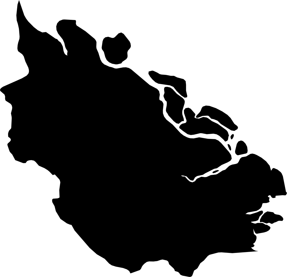
Riau, Indonesia
88,254.1 km² Area (map outline)
Explore · approximate map area
Province in Indonesia
Area calculated from the Natural Earth 5.1.1 generalized map outline using a local equal-area projection. The answer uses the same simplified outline shown, including islands and holes. This is a map comparison, not a precise surveyed or legal area.
Natural Earth 5.1.1 — Admin 1 states and provinces ↗Artwork: Natural Earth 5.1.1; projected and simplified by scripts/import-geography.py · Public domain
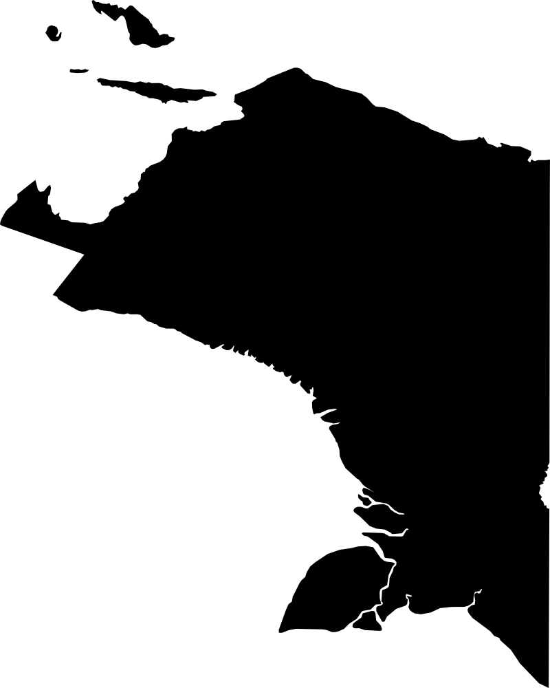 Geography
Papua, Indonesia
312,561.9 km² Area (map outline)
Explore · approximate map area
Province in Indonesia
Area calculated from the Natural Earth 5.1.1 generalized map outline using a local equal-area projection. The answer uses the same simplified outline shown, including islands and holes. This is a map comparison, not a precise surveyed or legal area.
Natural Earth 5.1.1 — Admin 1 states and provinces ↗Artwork: Natural Earth 5.1.1; projected and simplified by scripts/import-geography.py · Public domain
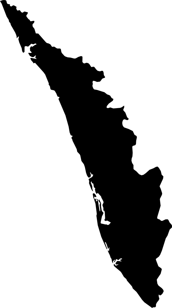 Geography
Kerala, India
37,722.5 km² Area (map outline)
Explore · approximate map area
State in India
Area calculated from the Natural Earth 5.1.1 generalized map outline using a local equal-area projection. The answer uses the same simplified outline shown, including islands and holes. This is a map comparison, not a precise surveyed or legal area.
Natural Earth 5.1.1 — Admin 1 states and provinces ↗Artwork: Natural Earth 5.1.1; projected and simplified by scripts/import-geography.py · Public domain
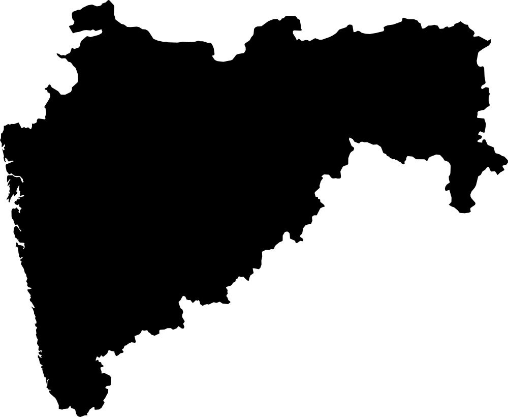 Geography
Maharashtra, India
306,558 km² Area (map outline)
Explore · approximate map area
State in India
Area calculated from the Natural Earth 5.1.1 generalized map outline using a local equal-area projection. The answer uses the same simplified outline shown, including islands and holes. This is a map comparison, not a precise surveyed or legal area.
Natural Earth 5.1.1 — Admin 1 states and provinces ↗Artwork: Natural Earth 5.1.1; projected and simplified by scripts/import-geography.py · Public domain
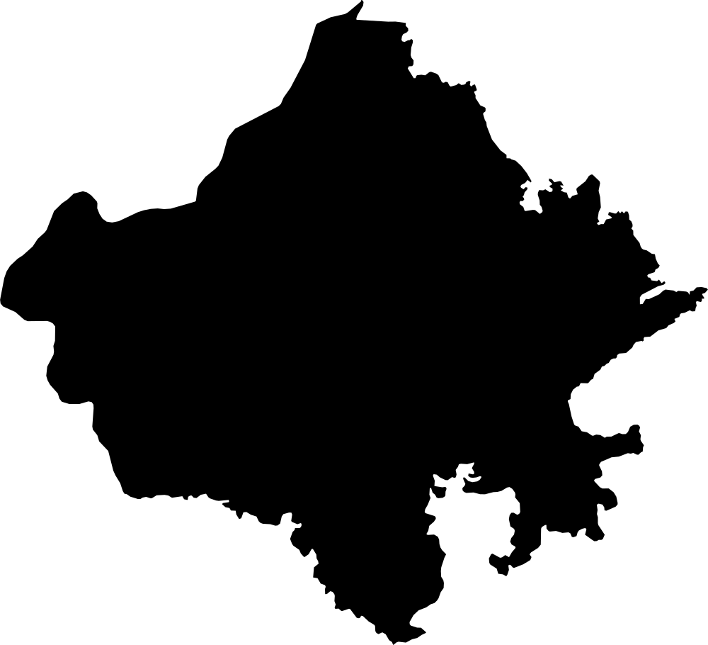 Geography
Rajasthan, India
343,069.6 km² Area (map outline)
Explore · approximate map area
State in India
Area calculated from the Natural Earth 5.1.1 generalized map outline using a local equal-area projection. The answer uses the same simplified outline shown, including islands and holes. This is a map comparison, not a precise surveyed or legal area.
Natural Earth 5.1.1 — Admin 1 states and provinces ↗Artwork: Natural Earth 5.1.1; projected and simplified by scripts/import-geography.py · Public domain
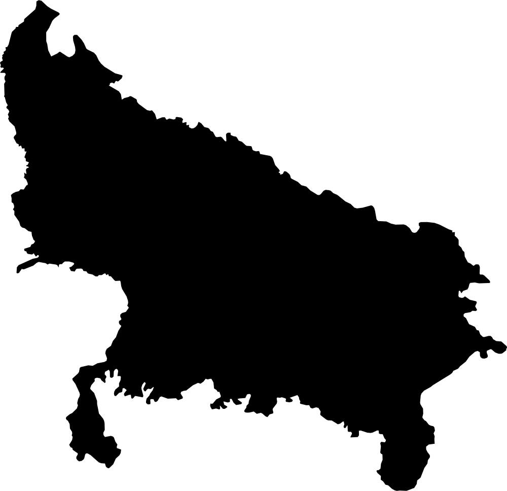 Geography
Uttar Pradesh, India
240,262.3 km² Area (map outline)
Explore · approximate map area
State in India
Area calculated from the Natural Earth 5.1.1 generalized map outline using a local equal-area projection. The answer uses the same simplified outline shown, including islands and holes. This is a map comparison, not a precise surveyed or legal area.
Natural Earth 5.1.1 — Admin 1 states and provinces ↗Artwork: Natural Earth 5.1.1; projected and simplified by scripts/import-geography.py · Public domain
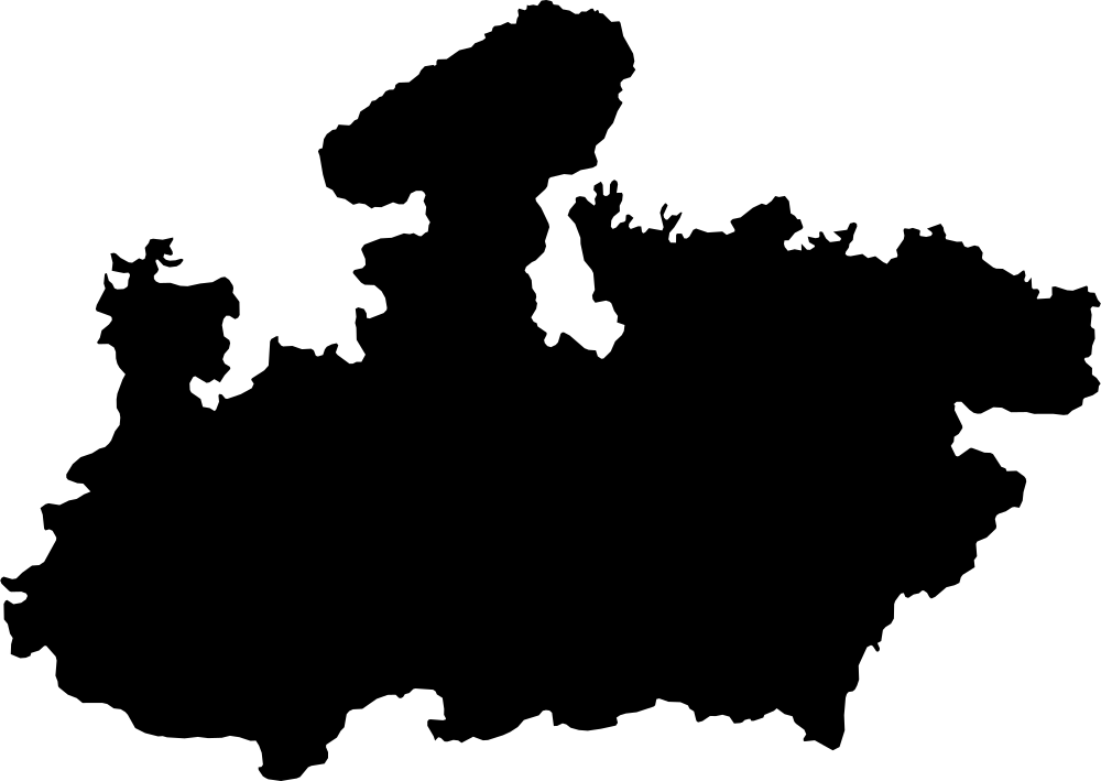 Geography
Madhya Pradesh, India
309,532.5 km² Area (map outline)
Explore · approximate map area
State in India
Area calculated from the Natural Earth 5.1.1 generalized map outline using a local equal-area projection. The answer uses the same simplified outline shown, including islands and holes. This is a map comparison, not a precise surveyed or legal area.
Natural Earth 5.1.1 — Admin 1 states and provinces ↗Artwork: Natural Earth 5.1.1; projected and simplified by scripts/import-geography.py · Public domain
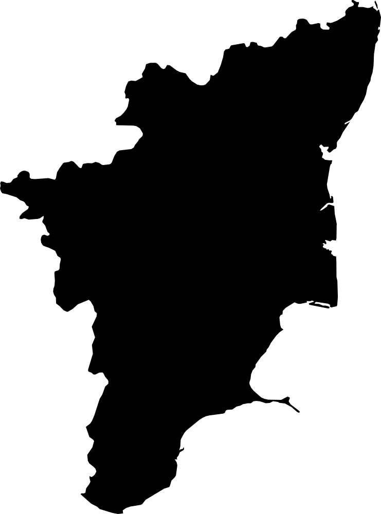 Geography
Tamil Nadu, India
130,676 km² Area (map outline)
Explore · approximate map area
State in India
Area calculated from the Natural Earth 5.1.1 generalized map outline using a local equal-area projection. The answer uses the same simplified outline shown, including islands and holes. This is a map comparison, not a precise surveyed or legal area.
Natural Earth 5.1.1 — Admin 1 states and provinces ↗Artwork: Natural Earth 5.1.1; projected and simplified by scripts/import-geography.py · Public domain
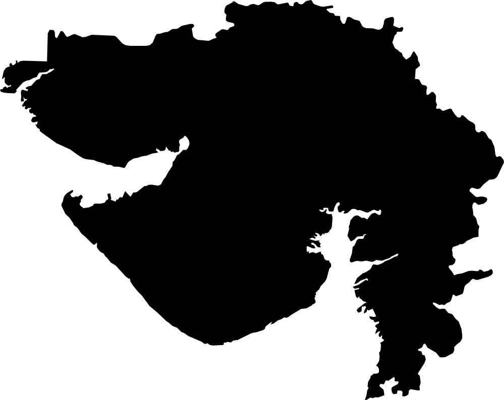 Geography
Gujarat, India
184,421.9 km² Area (map outline)
Explore · approximate map area
Administrative region in India
Area calculated from the Natural Earth 5.1.1 generalized map outline using a local equal-area projection. The answer uses the same simplified outline shown, including islands and holes. This is a map comparison, not a precise surveyed or legal area.
Natural Earth 5.1.1 — Admin 1 states and provinces ↗Artwork: Natural Earth 5.1.1; projected and simplified by scripts/import-geography.py · Public domain
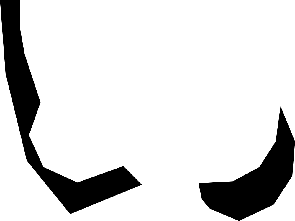 Geography
Cocos, Australian Indian Ocean Territories
13.2 km² Area (map outline)
Explore · approximate map area
Province in Australian Indian Ocean Territories
Area calculated from the Natural Earth 5.1.1 generalized map outline using a local equal-area projection. The answer uses the same simplified outline shown, including islands and holes. This is a map comparison, not a precise surveyed or legal area.
Natural Earth 5.1.1 — Admin 1 states and provinces ↗Artwork: Natural Earth 5.1.1; projected and simplified by scripts/import-geography.py · Public domain
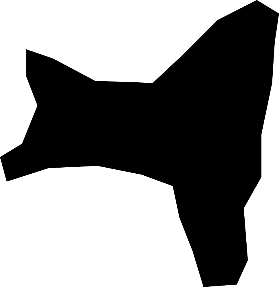 Geography
Christmas Island, Australian Indian Ocean Territories
98.7 km² Area (map outline)
Explore · approximate map area
Administrative region in Australian Indian Ocean Territories
Area calculated from the Natural Earth 5.1.1 generalized map outline using a local equal-area projection. The answer uses the same simplified outline shown, including islands and holes. This is a map comparison, not a precise surveyed or legal area.
Natural Earth 5.1.1 — Admin 1 states and provinces ↗Artwork: Natural Earth 5.1.1; projected and simplified by scripts/import-geography.py · Public domain
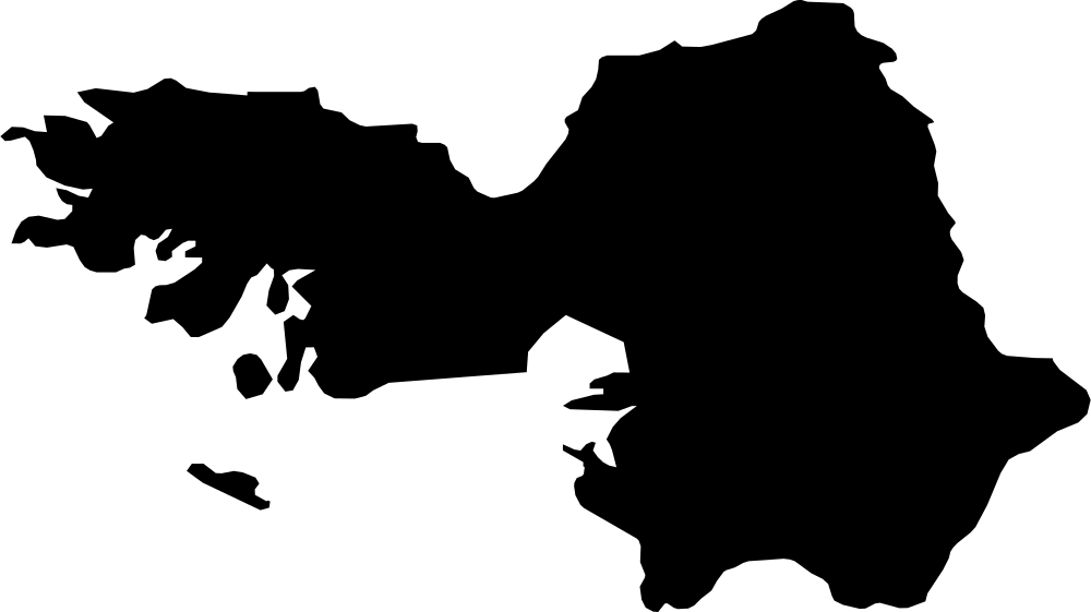 Geography
Galway, Ireland
6,016.1 km² Area (map outline)
Explore · approximate map area
County in Ireland
Area calculated from the Natural Earth 5.1.1 generalized map outline using a local equal-area projection. The answer uses the same simplified outline shown, including islands and holes. This is a map comparison, not a precise surveyed or legal area.
Natural Earth 5.1.1 — Admin 1 states and provinces ↗Artwork: Natural Earth 5.1.1; projected and simplified by scripts/import-geography.py · Public domain
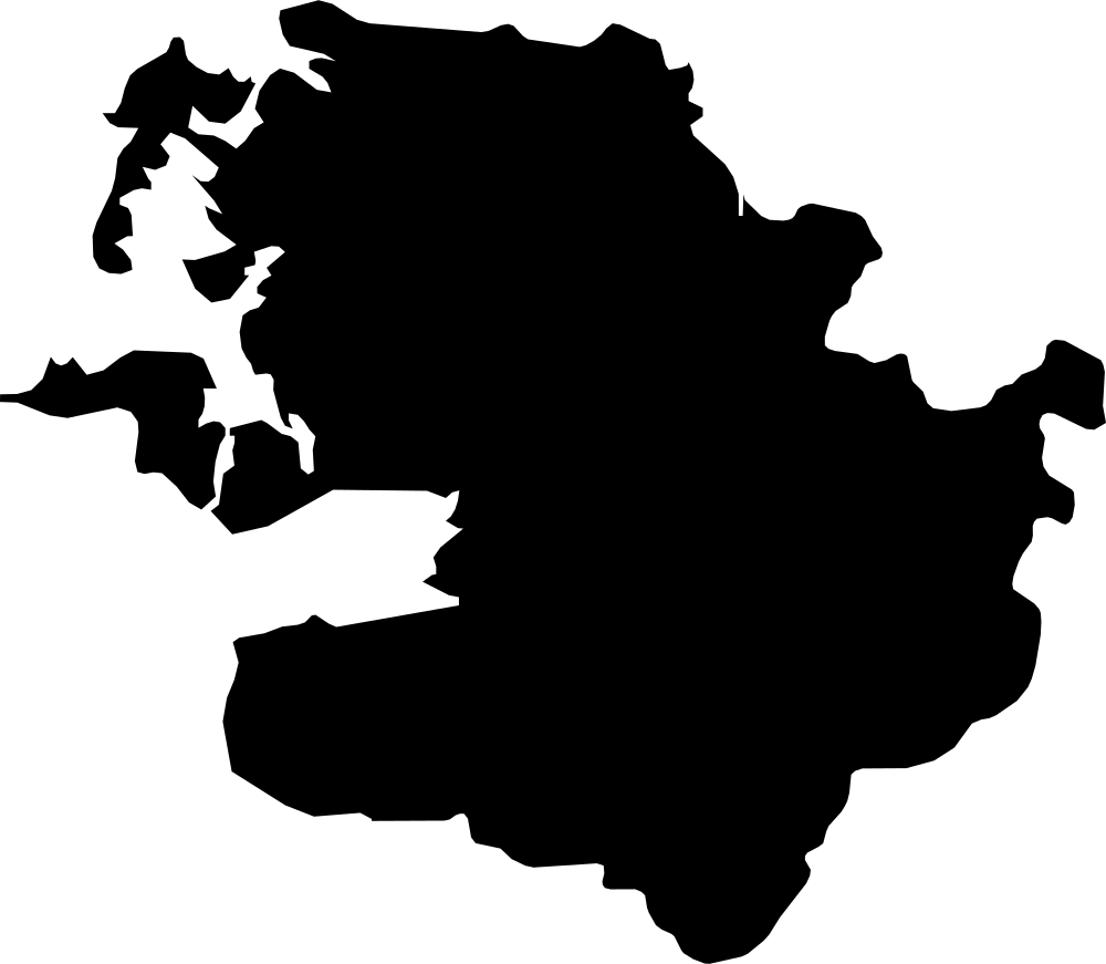 Geography
Mayo, Ireland
5,552.3 km² Area (map outline)
Explore · approximate map area
County in Ireland
Area calculated from the Natural Earth 5.1.1 generalized map outline using a local equal-area projection. The answer uses the same simplified outline shown, including islands and holes. This is a map comparison, not a precise surveyed or legal area.
Natural Earth 5.1.1 — Admin 1 states and provinces ↗Artwork: Natural Earth 5.1.1; projected and simplified by scripts/import-geography.py · Public domain
 Geography
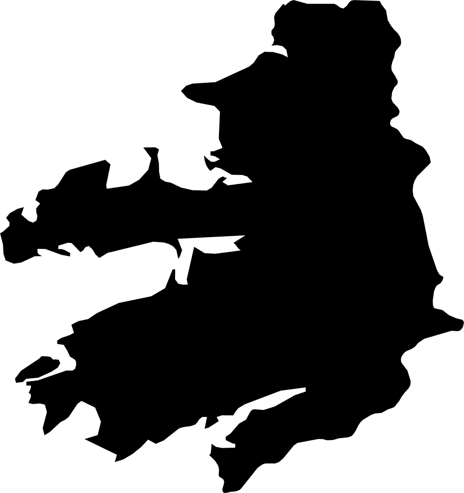
Kerry, Ireland
4,798.8 km² Area (map outline)
Explore · approximate map area
County in Ireland
Area calculated from the Natural Earth 5.1.1 generalized map outline using a local equal-area projection. The answer uses the same simplified outline shown, including islands and holes. This is a map comparison, not a precise surveyed or legal area.
Natural Earth 5.1.1 — Admin 1 states and provinces ↗Artwork: Natural Earth 5.1.1; projected and simplified by scripts/import-geography.py · Public domain
 Geography
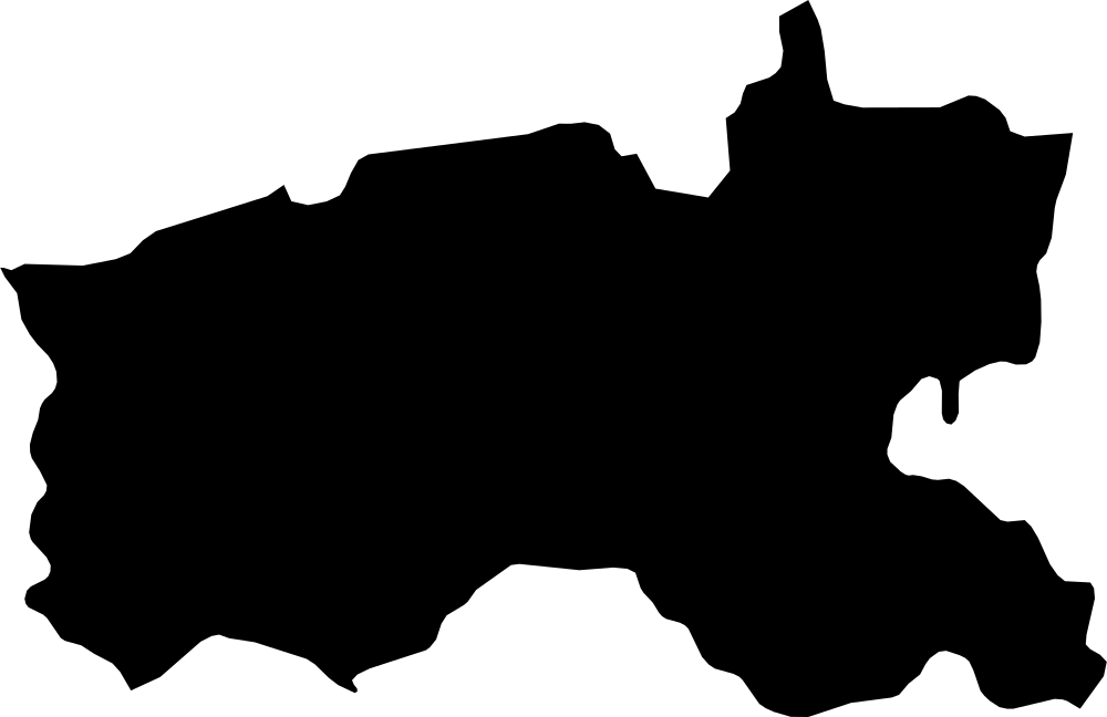
Limerick, Ireland
2,688.2 km² Area (map outline)
Explore · approximate map area
County in Ireland
Area calculated from the Natural Earth 5.1.1 generalized map outline using a local equal-area projection. The answer uses the same simplified outline shown, including islands and holes. This is a map comparison, not a precise surveyed or legal area.
Natural Earth 5.1.1 — Admin 1 states and provinces ↗Artwork: Natural Earth 5.1.1; projected and simplified by scripts/import-geography.py · Public domain
 Geography
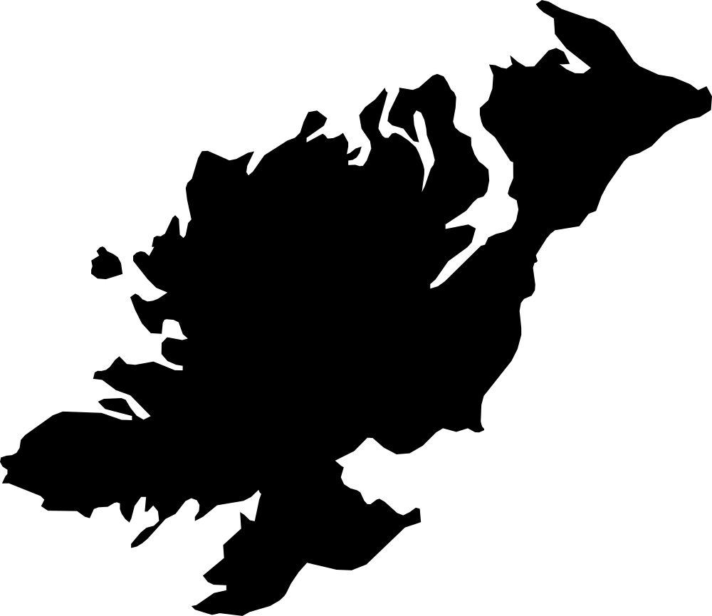
Donegal, Ireland
4,791.2 km² Area (map outline)
Explore · approximate map area
County in Ireland
Area calculated from the Natural Earth 5.1.1 generalized map outline using a local equal-area projection. The answer uses the same simplified outline shown, including islands and holes. This is a map comparison, not a precise surveyed or legal area.
Natural Earth 5.1.1 — Admin 1 states and provinces ↗Artwork: Natural Earth 5.1.1; projected and simplified by scripts/import-geography.py · Public domain
 Geography
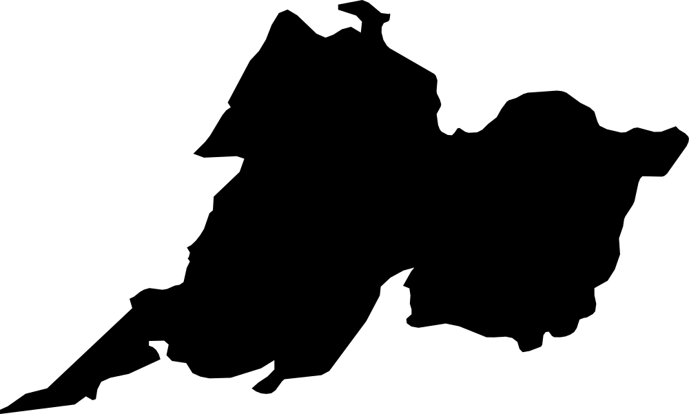
Clare, Ireland
3,236.3 km² Area (map outline)
Explore · approximate map area
County in Ireland
Area calculated from the Natural Earth 5.1.1 generalized map outline using a local equal-area projection. The answer uses the same simplified outline shown, including islands and holes. This is a map comparison, not a precise surveyed or legal area.
Natural Earth 5.1.1 — Admin 1 states and provinces ↗Artwork: Natural Earth 5.1.1; projected and simplified by scripts/import-geography.py · Public domain
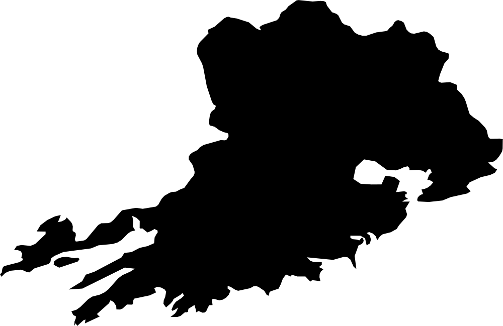 Geography
Cork, Ireland
7,197.2 km² Area (map outline)
Explore · approximate map area
County in Ireland
Area calculated from the Natural Earth 5.1.1 generalized map outline using a local equal-area projection. The answer uses the same simplified outline shown, including islands and holes. This is a map comparison, not a precise surveyed or legal area.
Natural Earth 5.1.1 — Admin 1 states and provinces ↗Artwork: Natural Earth 5.1.1; projected and simplified by scripts/import-geography.py · Public domain
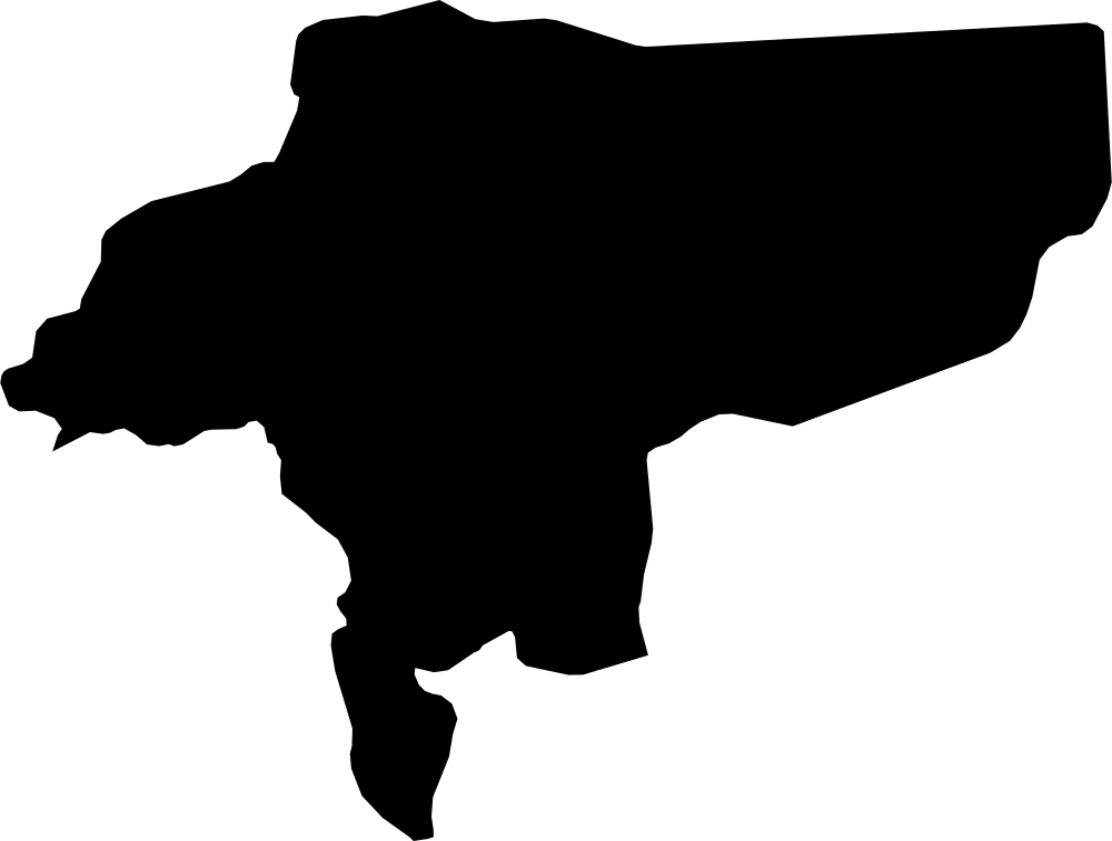 Geography
Isfahan, Iran
110,568.5 km² Area (map outline)
Explore · approximate map area
Province in Iran
Area calculated from the Natural Earth 5.1.1 generalized map outline using a local equal-area projection. The answer uses the same simplified outline shown, including islands and holes. This is a map comparison, not a precise surveyed or legal area.
Natural Earth 5.1.1 — Admin 1 states and provinces ↗Artwork: Natural Earth 5.1.1; projected and simplified by scripts/import-geography.py · Public domain
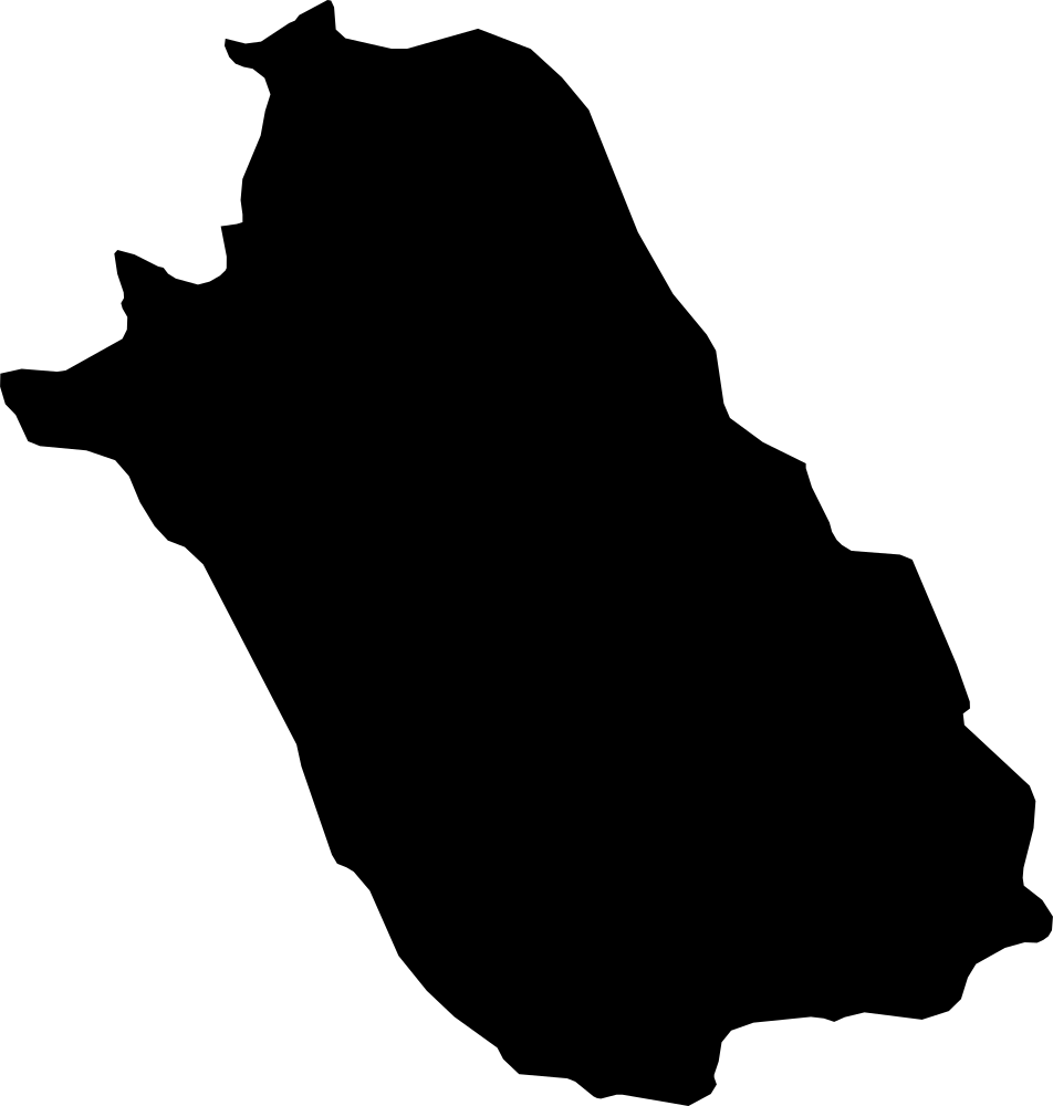 Geography
Fars, Iran
125,712.8 km² Area (map outline)
Explore · approximate map area
Province in Iran
Area calculated from the Natural Earth 5.1.1 generalized map outline using a local equal-area projection. The answer uses the same simplified outline shown, including islands and holes. This is a map comparison, not a precise surveyed or legal area.
Natural Earth 5.1.1 — Admin 1 states and provinces ↗Artwork: Natural Earth 5.1.1; projected and simplified by scripts/import-geography.py · Public domain
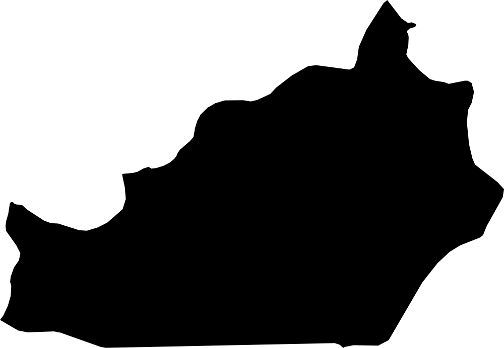 Geography
Semnan, Iran
90,399 km² Area (map outline)
Explore · approximate map area
Province in Iran
Area calculated from the Natural Earth 5.1.1 generalized map outline using a local equal-area projection. The answer uses the same simplified outline shown, including islands and holes. This is a map comparison, not a precise surveyed or legal area.
Natural Earth 5.1.1 — Admin 1 states and provinces ↗Artwork: Natural Earth 5.1.1; projected and simplified by scripts/import-geography.py · Public domain
 Geography
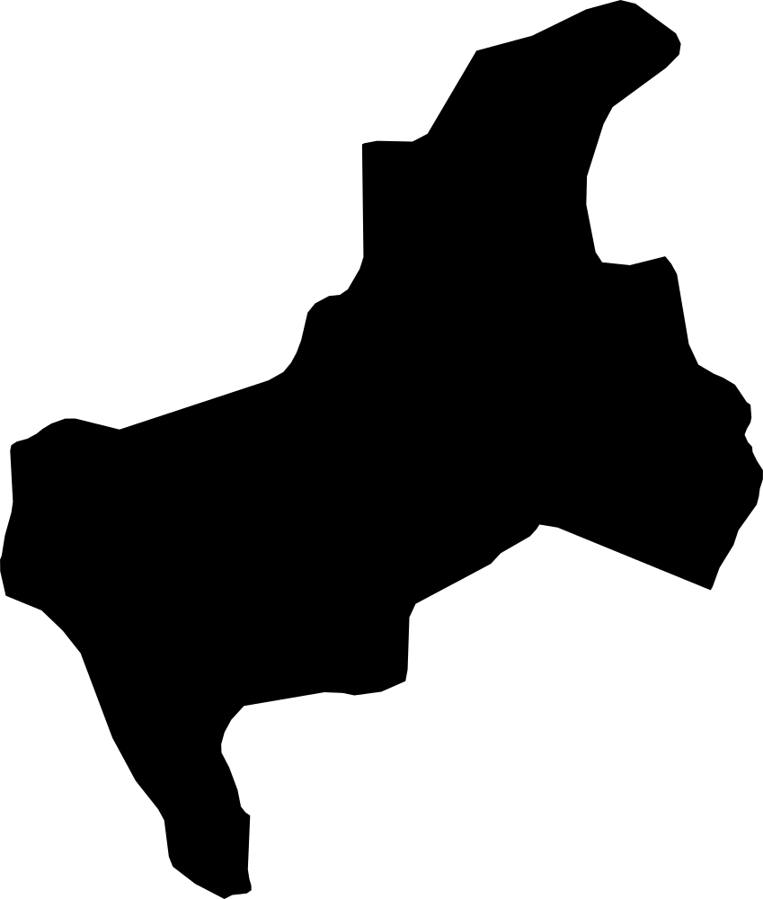
Yazd, Iran
127,562.1 km² Area (map outline)
Explore · approximate map area
Province in Iran
Area calculated from the Natural Earth 5.1.1 generalized map outline using a local equal-area projection. The answer uses the same simplified outline shown, including islands and holes. This is a map comparison, not a precise surveyed or legal area.
Natural Earth 5.1.1 — Admin 1 states and provinces ↗Artwork: Natural Earth 5.1.1; projected and simplified by scripts/import-geography.py · Public domain
 Geography
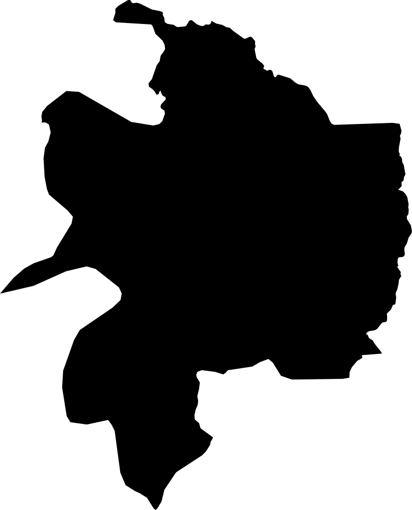
Razavi Khorasan, Iran
136,921.1 km² Area (map outline)
Explore · approximate map area
Province in Iran
Area calculated from the Natural Earth 5.1.1 generalized map outline using a local equal-area projection. The answer uses the same simplified outline shown, including islands and holes. This is a map comparison, not a precise surveyed or legal area.
Natural Earth 5.1.1 — Admin 1 states and provinces ↗Artwork: Natural Earth 5.1.1; projected and simplified by scripts/import-geography.py · Public domain
 Geography
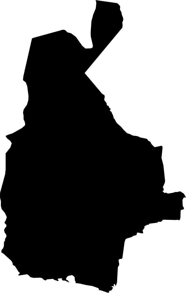
Sistan and Baluchestan, Iran
174,583.4 km² Area (map outline)
Explore · approximate map area
Province in Iran
Area calculated from the Natural Earth 5.1.1 generalized map outline using a local equal-area projection. The answer uses the same simplified outline shown, including islands and holes. This is a map comparison, not a precise surveyed or legal area.
Natural Earth 5.1.1 — Admin 1 states and provinces ↗Artwork: Natural Earth 5.1.1; projected and simplified by scripts/import-geography.py · Public domain
 Geography
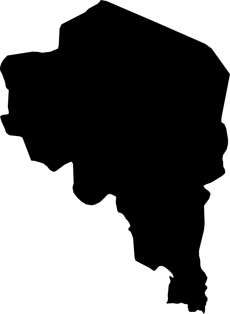
Kerman, Iran
183,175.6 km² Area (map outline)
Explore · approximate map area
Province in Iran
Area calculated from the Natural Earth 5.1.1 generalized map outline using a local equal-area projection. The answer uses the same simplified outline shown, including islands and holes. This is a map comparison, not a precise surveyed or legal area.
Natural Earth 5.1.1 — Admin 1 states and provinces ↗Artwork: Natural Earth 5.1.1; projected and simplified by scripts/import-geography.py · Public domain
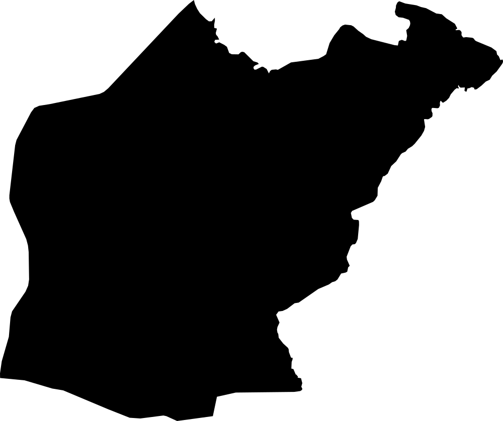 Geography
Nineveh, Iraq
37,868.6 km² Area (map outline)
Explore · approximate map area
Province in Iraq
Area calculated from the Natural Earth 5.1.1 generalized map outline using a local equal-area projection. The answer uses the same simplified outline shown, including islands and holes. This is a map comparison, not a precise surveyed or legal area.
Natural Earth 5.1.1 — Admin 1 states and provinces ↗Artwork: Natural Earth 5.1.1; projected and simplified by scripts/import-geography.py · Public domain
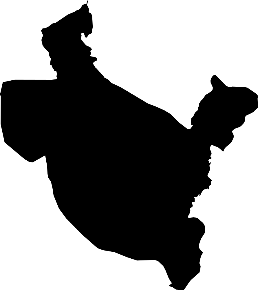 Geography
Saladin, Iraq
25,514.3 km² Area (map outline)
Explore · approximate map area
Province in Iraq
Area calculated from the Natural Earth 5.1.1 generalized map outline using a local equal-area projection. The answer uses the same simplified outline shown, including islands and holes. This is a map comparison, not a precise surveyed or legal area.
Natural Earth 5.1.1 — Admin 1 states and provinces ↗Artwork: Natural Earth 5.1.1; projected and simplified by scripts/import-geography.py · Public domain
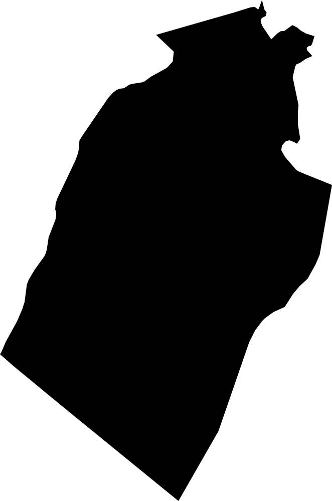 Geography
Najaf, Iraq
29,233.6 km² Area (map outline)
Explore · approximate map area
Province in Iraq
Area calculated from the Natural Earth 5.1.1 generalized map outline using a local equal-area projection. The answer uses the same simplified outline shown, including islands and holes. This is a map comparison, not a precise surveyed or legal area.
Natural Earth 5.1.1 — Admin 1 states and provinces ↗Artwork: Natural Earth 5.1.1; projected and simplified by scripts/import-geography.py · Public domain
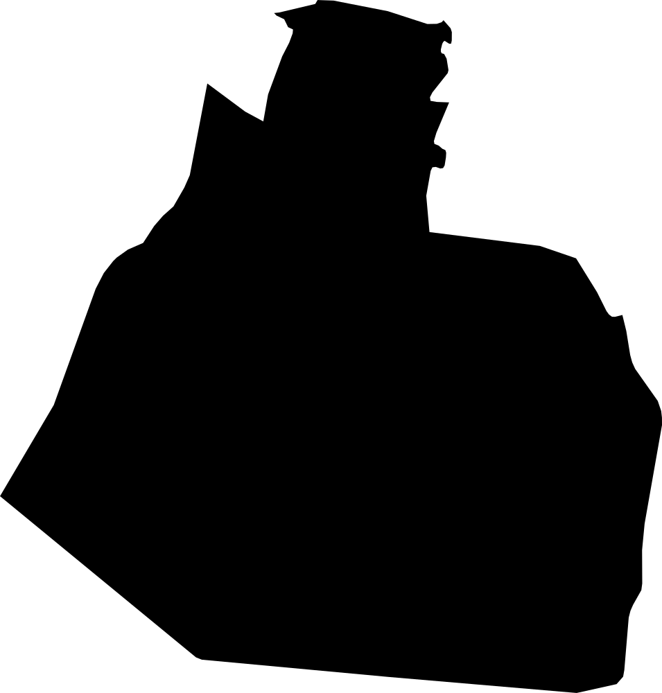 Geography
Al Muthanna, Iraq
52,524.9 km² Area (map outline)
Explore · approximate map area
Province in Iraq
Area calculated from the Natural Earth 5.1.1 generalized map outline using a local equal-area projection. The answer uses the same simplified outline shown, including islands and holes. This is a map comparison, not a precise surveyed or legal area.
Natural Earth 5.1.1 — Admin 1 states and provinces ↗Artwork: Natural Earth 5.1.1; projected and simplified by scripts/import-geography.py · Public domain
 Geography
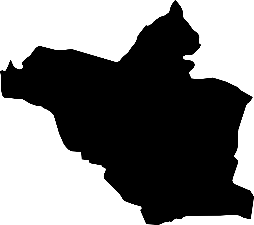
Wasit, Iraq
17,662.1 km² Area (map outline)
Explore · approximate map area
Province in Iraq
Area calculated from the Natural Earth 5.1.1 generalized map outline using a local equal-area projection. The answer uses the same simplified outline shown, including islands and holes. This is a map comparison, not a precise surveyed or legal area.
Natural Earth 5.1.1 — Admin 1 states and provinces ↗Artwork: Natural Earth 5.1.1; projected and simplified by scripts/import-geography.py · Public domain
 Geography
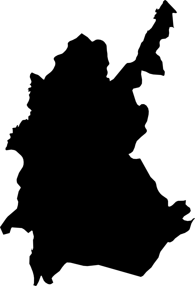
Diyala, Iraq
19,800.4 km² Area (map outline)
Explore · approximate map area
Province in Iraq
Area calculated from the Natural Earth 5.1.1 generalized map outline using a local equal-area projection. The answer uses the same simplified outline shown, including islands and holes. This is a map comparison, not a precise surveyed or legal area.
Natural Earth 5.1.1 — Admin 1 states and provinces ↗Artwork: Natural Earth 5.1.1; projected and simplified by scripts/import-geography.py · Public domain
 Geography
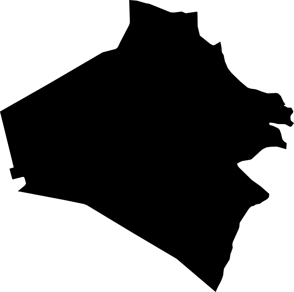
Al Anbar, Iraq
138,188.5 km² Area (map outline)
Explore · approximate map area
Province in Iraq
Area calculated from the Natural Earth 5.1.1 generalized map outline using a local equal-area projection. The answer uses the same simplified outline shown, including islands and holes. This is a map comparison, not a precise surveyed or legal area.
Natural Earth 5.1.1 — Admin 1 states and provinces ↗Artwork: Natural Earth 5.1.1; projected and simplified by scripts/import-geography.py · Public domain
 Geography
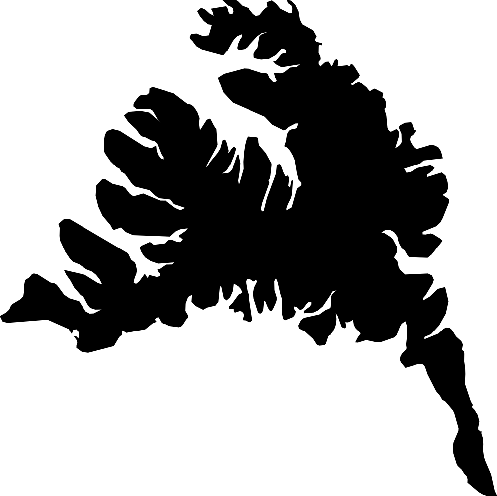
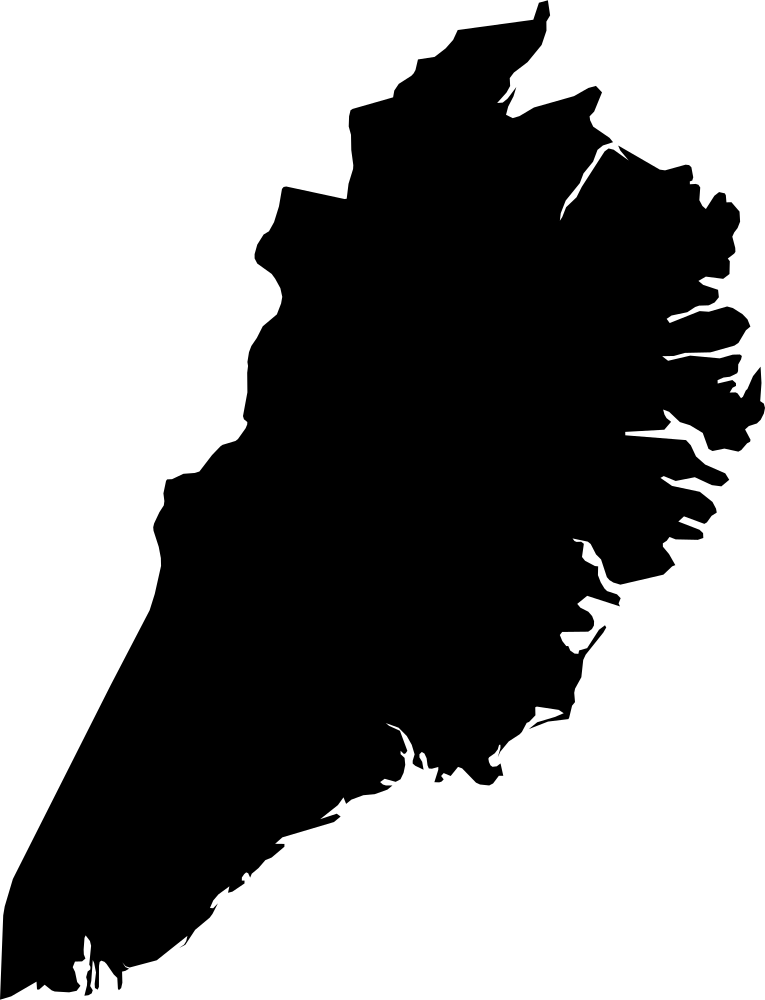
Westfjords, Iceland
9,599 km² Area (map outline)
Explore · approximate map area
Region in Iceland
Area calculated from the Natural Earth 5.1.1 generalized map outline using a local equal-area projection. The answer uses the same simplified outline shown, including islands and holes. This is a map comparison, not a precise surveyed or legal area.
Natural Earth 5.1.1 — Admin 1 states and provinces ↗Artwork: Natural Earth 5.1.1; projected and simplified by scripts/import-geography.py · Public domain
 Geography
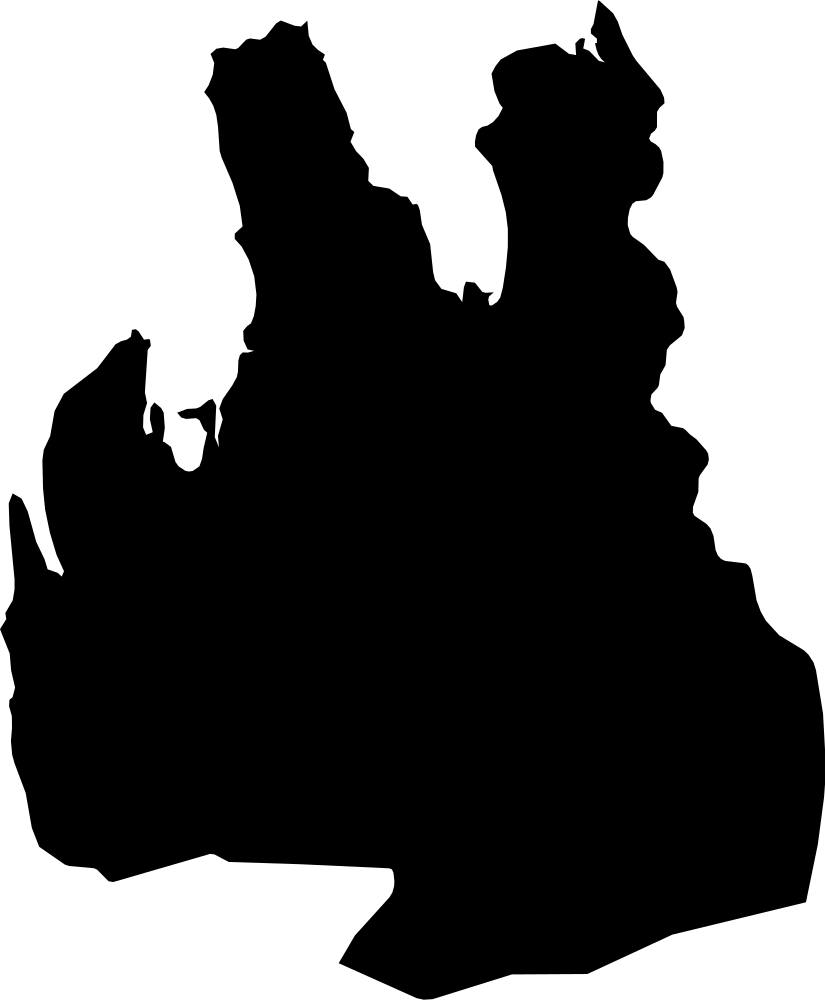
Austurland, Iceland
21,435 km² Area (map outline)
Explore · approximate map area
Region in Iceland
Area calculated from the Natural Earth 5.1.1 generalized map outline using a local equal-area projection. The answer uses the same simplified outline shown, including islands and holes. This is a map comparison, not a precise surveyed or legal area.
Natural Earth 5.1.1 — Admin 1 states and provinces ↗Artwork: Natural Earth 5.1.1; projected and simplified by scripts/import-geography.py · Public domain
 Geography
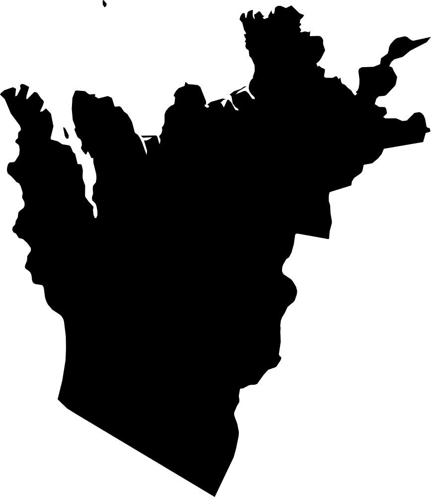
Northwestern, Iceland
12,598.5 km² Area (map outline)
Explore · approximate map area
Region in Iceland
Area calculated from the Natural Earth 5.1.1 generalized map outline using a local equal-area projection. The answer uses the same simplified outline shown, including islands and holes. This is a map comparison, not a precise surveyed or legal area.
Natural Earth 5.1.1 — Admin 1 states and provinces ↗Artwork: Natural Earth 5.1.1; projected and simplified by scripts/import-geography.py · Public domain
 Geography
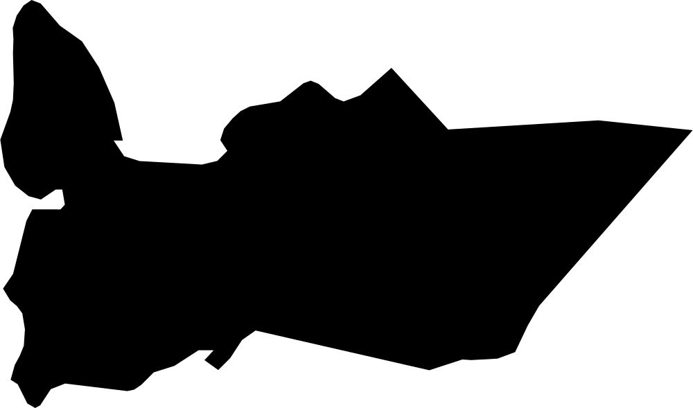
Northeastern, Iceland
22,342 km² Area (map outline)
Explore · approximate map area
Region in Iceland
Area calculated from the Natural Earth 5.1.1 generalized map outline using a local equal-area projection. The answer uses the same simplified outline shown, including islands and holes. This is a map comparison, not a precise surveyed or legal area.
Natural Earth 5.1.1 — Admin 1 states and provinces ↗Artwork: Natural Earth 5.1.1; projected and simplified by scripts/import-geography.py · Public domain
 Geography
Southern Peninsula, Iceland
881.6 km² Area (map outline)
Explore · approximate map area
Independent Town in Iceland
Area calculated from the Natural Earth 5.1.1 generalized map outline using a local equal-area projection. The answer uses the same simplified outline shown, including islands and holes. This is a map comparison, not a precise surveyed or legal area.
Natural Earth 5.1.1 — Admin 1 states and provinces ↗Artwork: Natural Earth 5.1.1; projected and simplified by scripts/import-geography.py · Public domain
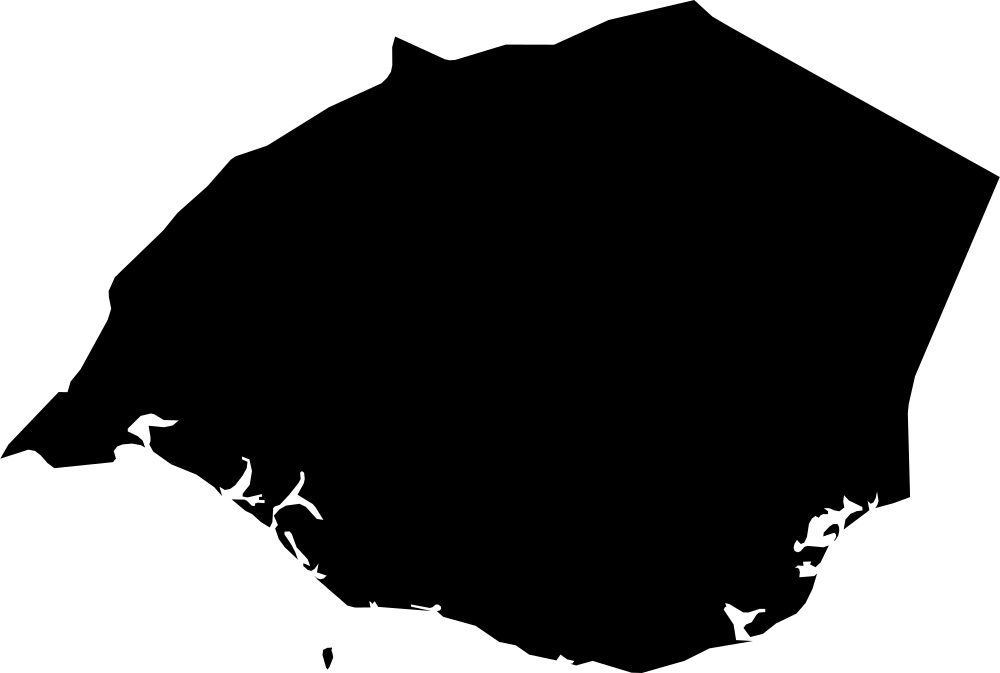 Geography
Southern, Iceland
24,965.7 km² Area (map outline)
Explore · approximate map area
Region in Iceland
Area calculated from the Natural Earth 5.1.1 generalized map outline using a local equal-area projection. The answer uses the same simplified outline shown, including islands and holes. This is a map comparison, not a precise surveyed or legal area.
Natural Earth 5.1.1 — Admin 1 states and provinces ↗Artwork: Natural Earth 5.1.1; projected and simplified by scripts/import-geography.py · Public domain
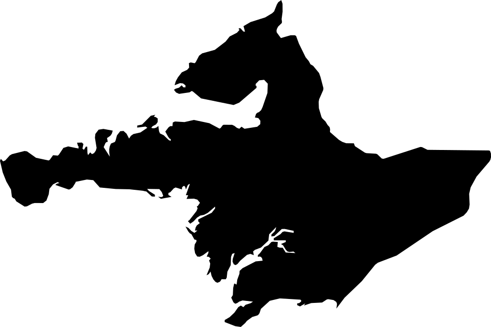 Geography
Western, Iceland
9,596.3 km² Area (map outline)
Explore · approximate map area
Region in Iceland
Area calculated from the Natural Earth 5.1.1 generalized map outline using a local equal-area projection. The answer uses the same simplified outline shown, including islands and holes. This is a map comparison, not a precise surveyed or legal area.
Natural Earth 5.1.1 — Admin 1 states and provinces ↗Artwork: Natural Earth 5.1.1; projected and simplified by scripts/import-geography.py · Public domain
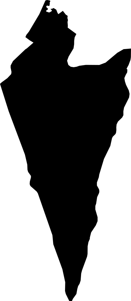 Geography
Southern, Israel
14,518.3 km² Area (map outline)
Explore · approximate map area
District in Israel
Area calculated from the Natural Earth 5.1.1 generalized map outline using a local equal-area projection. The answer uses the same simplified outline shown, including islands and holes. This is a map comparison, not a precise surveyed or legal area.
Natural Earth 5.1.1 — Admin 1 states and provinces ↗Artwork: Natural Earth 5.1.1; projected and simplified by scripts/import-geography.py · Public domain
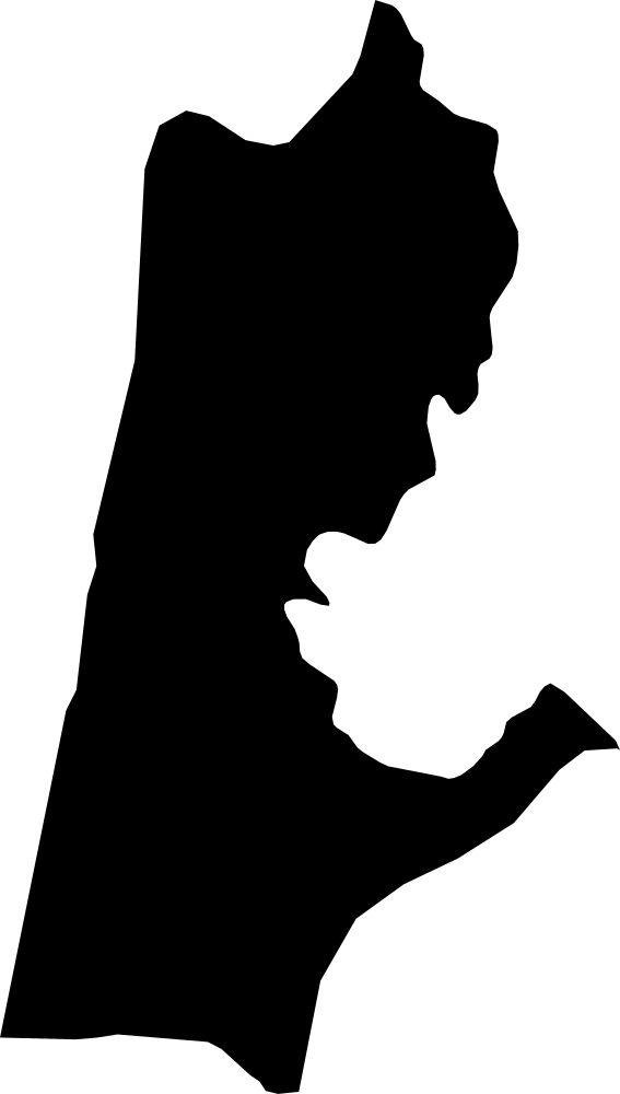 Geography
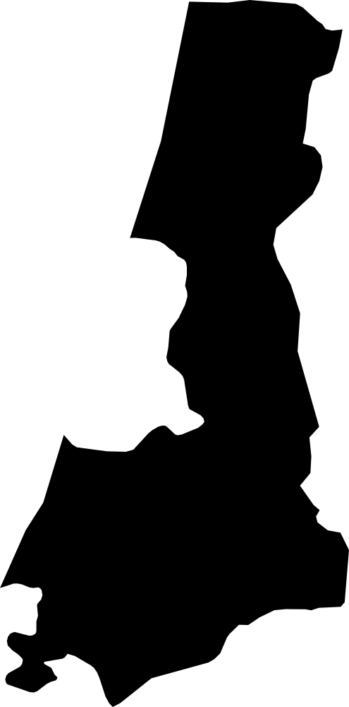
Haifa, Israel
856.9 km² Area (map outline)
Explore · approximate map area
District in Israel
Area calculated from the Natural Earth 5.1.1 generalized map outline using a local equal-area projection. The answer uses the same simplified outline shown, including islands and holes. This is a map comparison, not a precise surveyed or legal area.
Natural Earth 5.1.1 — Admin 1 states and provinces ↗Artwork: Natural Earth 5.1.1; projected and simplified by scripts/import-geography.py · Public domain
 Geography
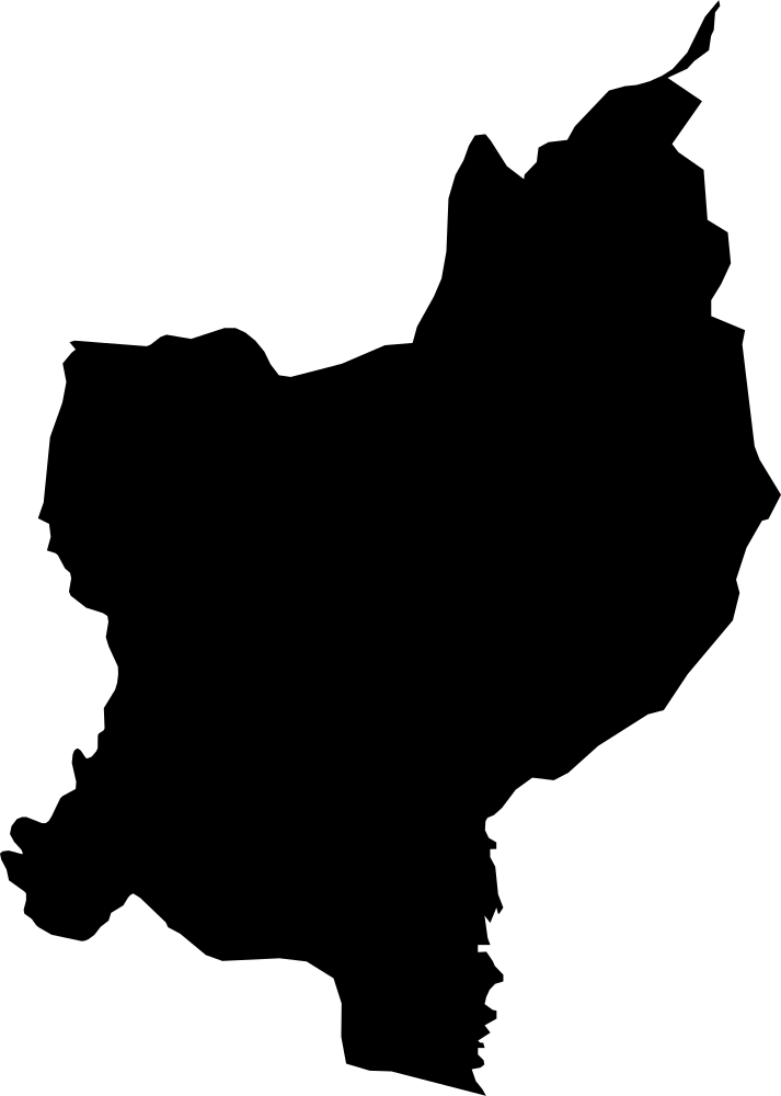
Central, Israel
1,251.2 km² Area (map outline)
Explore · approximate map area
District in Israel
Area calculated from the Natural Earth 5.1.1 generalized map outline using a local equal-area projection. The answer uses the same simplified outline shown, including islands and holes. This is a map comparison, not a precise surveyed or legal area.
Natural Earth 5.1.1 — Admin 1 states and provinces ↗Artwork: Natural Earth 5.1.1; projected and simplified by scripts/import-geography.py · Public domain
 Geography
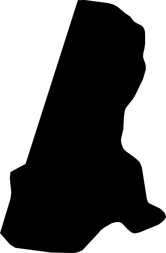
Northern, Israel
4,659 km² Area (map outline)
Explore · approximate map area
District in Israel
Area calculated from the Natural Earth 5.1.1 generalized map outline using a local equal-area projection. The answer uses the same simplified outline shown, including islands and holes. This is a map comparison, not a precise surveyed or legal area.
Natural Earth 5.1.1 — Admin 1 states and provinces ↗Artwork: Natural Earth 5.1.1; projected and simplified by scripts/import-geography.py · Public domain
 Geography
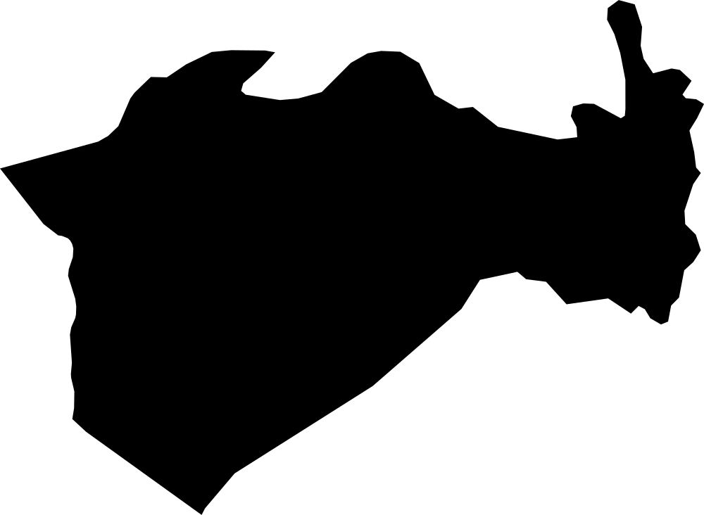
Tel Aviv, Israel
178 km² Area (map outline)
Explore · approximate map area
District in Israel
Area calculated from the Natural Earth 5.1.1 generalized map outline using a local equal-area projection. The answer uses the same simplified outline shown, including islands and holes. This is a map comparison, not a precise surveyed or legal area.
Natural Earth 5.1.1 — Admin 1 states and provinces ↗Artwork: Natural Earth 5.1.1; projected and simplified by scripts/import-geography.py · Public domain
 Geography
Jerusalem, Israel
635.3 km² Area (map outline)
Explore · approximate map area
District in Israel
Area calculated from the Natural Earth 5.1.1 generalized map outline using a local equal-area projection. The answer uses the same simplified outline shown, including islands and holes. This is a map comparison, not a precise surveyed or legal area.
Natural Earth 5.1.1 — Admin 1 states and provinces ↗Artwork: Natural Earth 5.1.1; projected and simplified by scripts/import-geography.py · Public domain