Showing 481–528 of 1,741 records.
 Geography
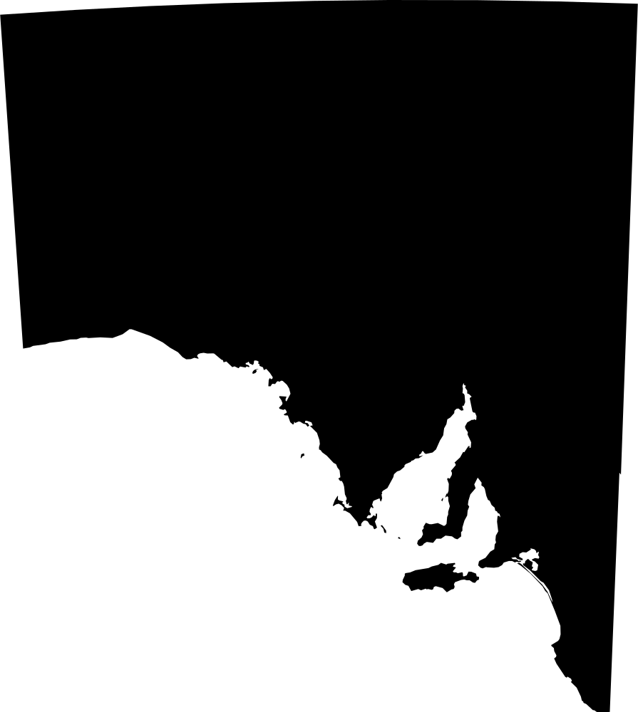
South Australia, Australia
982,964.4 km² Area (map outline)
Explore · approximate map area
State in Australia
Area calculated from the Natural Earth 5.1.1 generalized map outline using a local equal-area projection. The answer uses the same simplified outline shown, including islands and holes. This is a map comparison, not a precise surveyed or legal area.
Natural Earth 5.1.1 — Admin 1 states and provinces ↗Artwork: Natural Earth 5.1.1; projected and simplified by scripts/import-geography.py · Public domain
 Geography
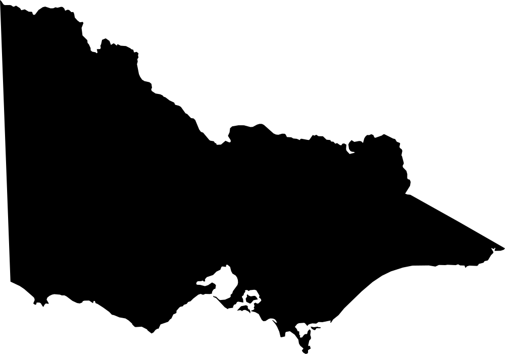
Victoria, Australia
227,859.3 km² Area (map outline)
Explore · approximate map area
State in Australia
Area calculated from the Natural Earth 5.1.1 generalized map outline using a local equal-area projection. The answer uses the same simplified outline shown, including islands and holes. This is a map comparison, not a precise surveyed or legal area.
Natural Earth 5.1.1 — Admin 1 states and provinces ↗Artwork: Natural Earth 5.1.1; projected and simplified by scripts/import-geography.py · Public domain
 Geography
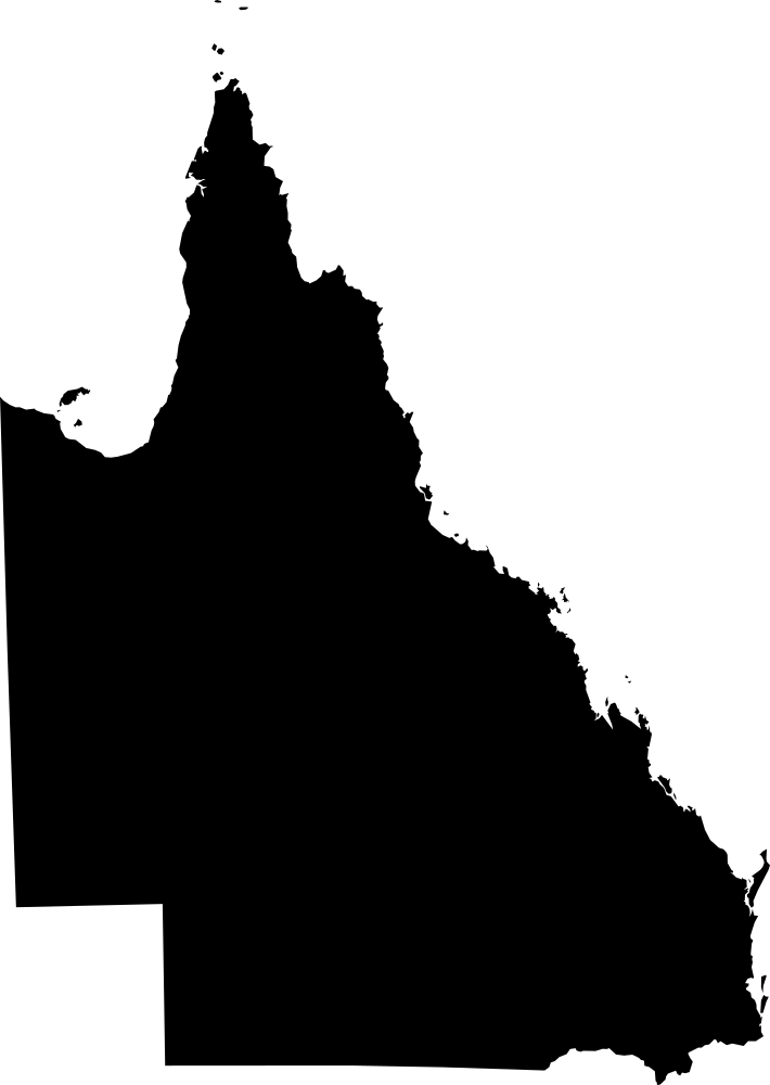
Queensland, Australia
1,730,405.7 km² Area (map outline)
Explore · approximate map area
State in Australia
Area calculated from the Natural Earth 5.1.1 generalized map outline using a local equal-area projection. The answer uses the same simplified outline shown, including islands and holes. This is a map comparison, not a precise surveyed or legal area.
Natural Earth 5.1.1 — Admin 1 states and provinces ↗Artwork: Natural Earth 5.1.1; projected and simplified by scripts/import-geography.py · Public domain
 Geography
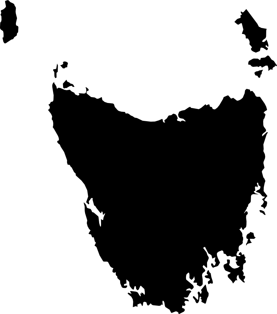
Tasmania, Australia
68,104.8 km² Area (map outline)
Explore · approximate map area
State in Australia
Area calculated from the Natural Earth 5.1.1 generalized map outline using a local equal-area projection. The answer uses the same simplified outline shown, including islands and holes. This is a map comparison, not a precise surveyed or legal area.
Natural Earth 5.1.1 — Admin 1 states and provinces ↗Artwork: Natural Earth 5.1.1; projected and simplified by scripts/import-geography.py · Public domain
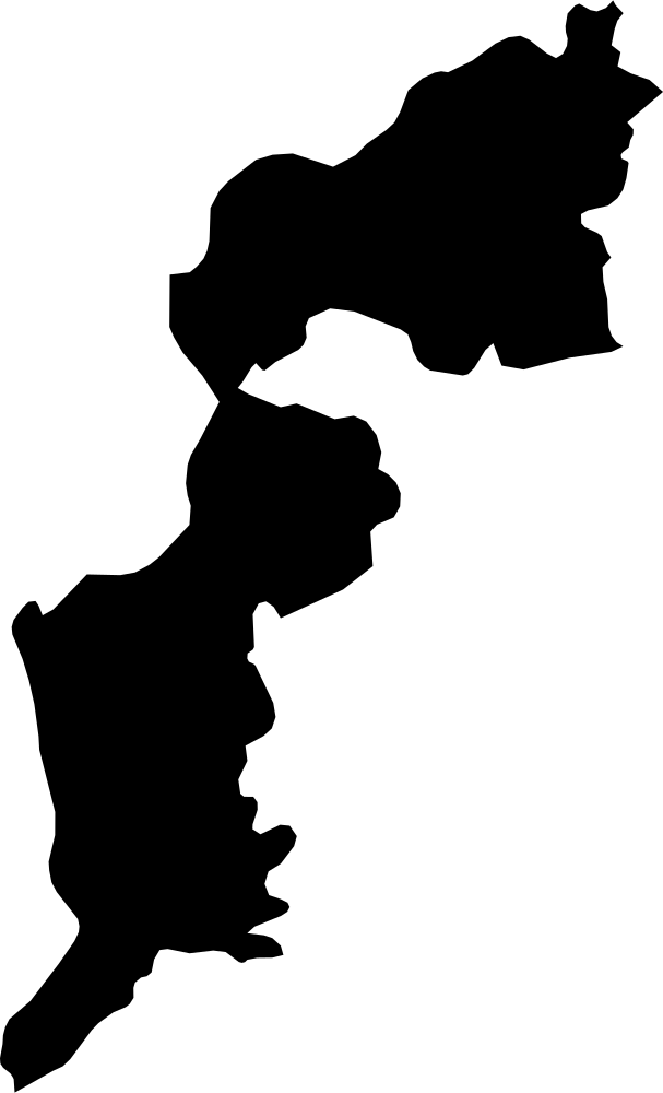 Geography
Burgenland, Austria
3,982.6 km² Area (map outline)
Explore · approximate map area
State in Austria
Area calculated from the Natural Earth 5.1.1 generalized map outline using a local equal-area projection. The answer uses the same simplified outline shown, including islands and holes. This is a map comparison, not a precise surveyed or legal area.
Natural Earth 5.1.1 — Admin 1 states and provinces ↗Artwork: Natural Earth 5.1.1; projected and simplified by scripts/import-geography.py · Public domain
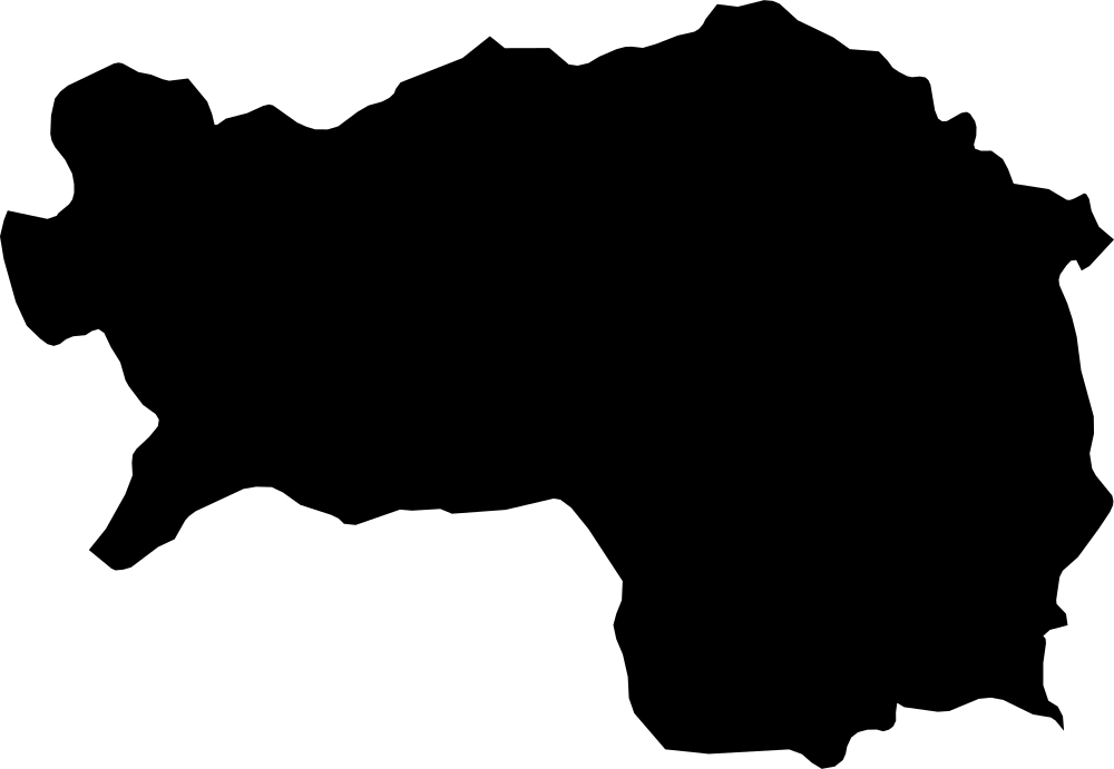 Geography
Styria, Austria
16,440.2 km² Area (map outline)
Explore · approximate map area
State in Austria
Area calculated from the Natural Earth 5.1.1 generalized map outline using a local equal-area projection. The answer uses the same simplified outline shown, including islands and holes. This is a map comparison, not a precise surveyed or legal area.
Natural Earth 5.1.1 — Admin 1 states and provinces ↗Artwork: Natural Earth 5.1.1; projected and simplified by scripts/import-geography.py · Public domain
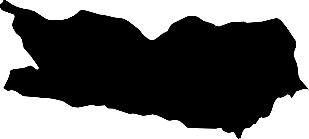 Geography
Carinthia, Austria
9,646 km² Area (map outline)
Explore · approximate map area
State in Austria
Area calculated from the Natural Earth 5.1.1 generalized map outline using a local equal-area projection. The answer uses the same simplified outline shown, including islands and holes. This is a map comparison, not a precise surveyed or legal area.
Natural Earth 5.1.1 — Admin 1 states and provinces ↗Artwork: Natural Earth 5.1.1; projected and simplified by scripts/import-geography.py · Public domain
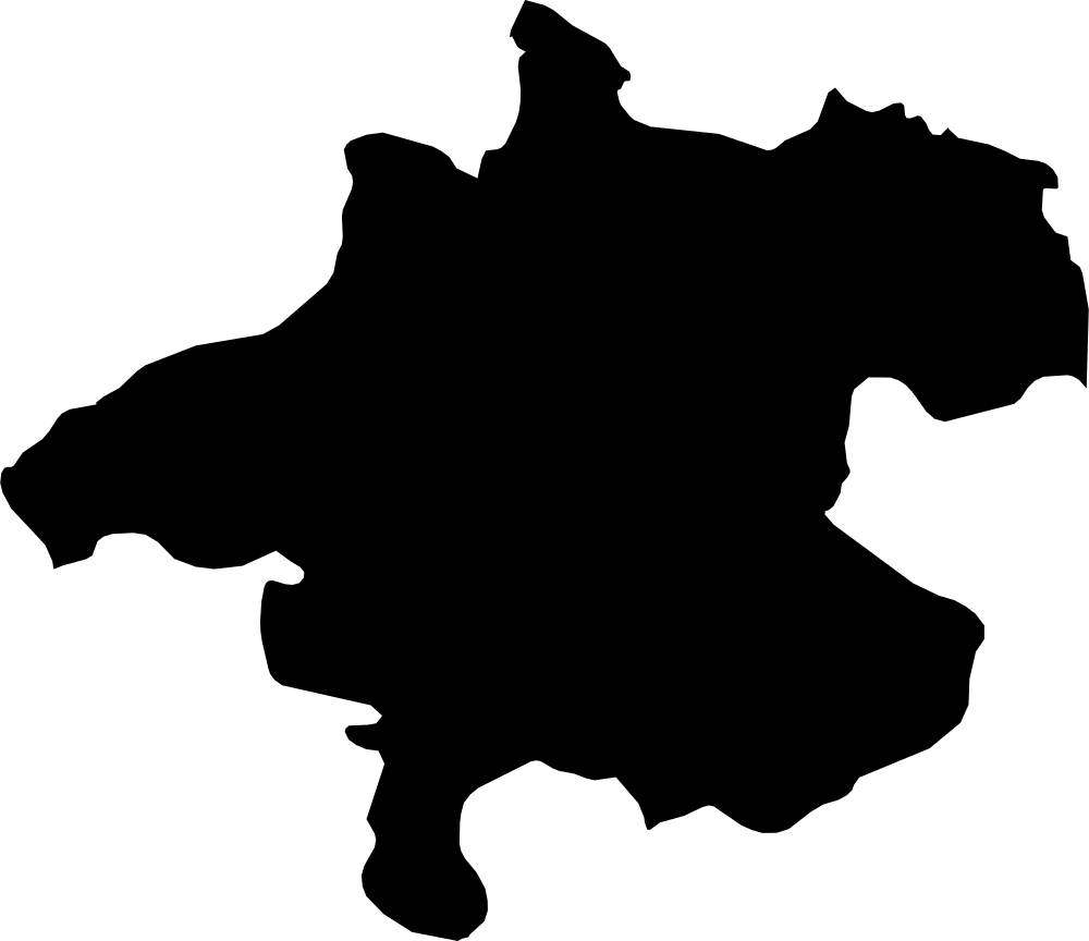 Geography
Upper Austria, Austria
11,885.4 km² Area (map outline)
Explore · approximate map area
State in Austria
Area calculated from the Natural Earth 5.1.1 generalized map outline using a local equal-area projection. The answer uses the same simplified outline shown, including islands and holes. This is a map comparison, not a precise surveyed or legal area.
Natural Earth 5.1.1 — Admin 1 states and provinces ↗Artwork: Natural Earth 5.1.1; projected and simplified by scripts/import-geography.py · Public domain
 Geography
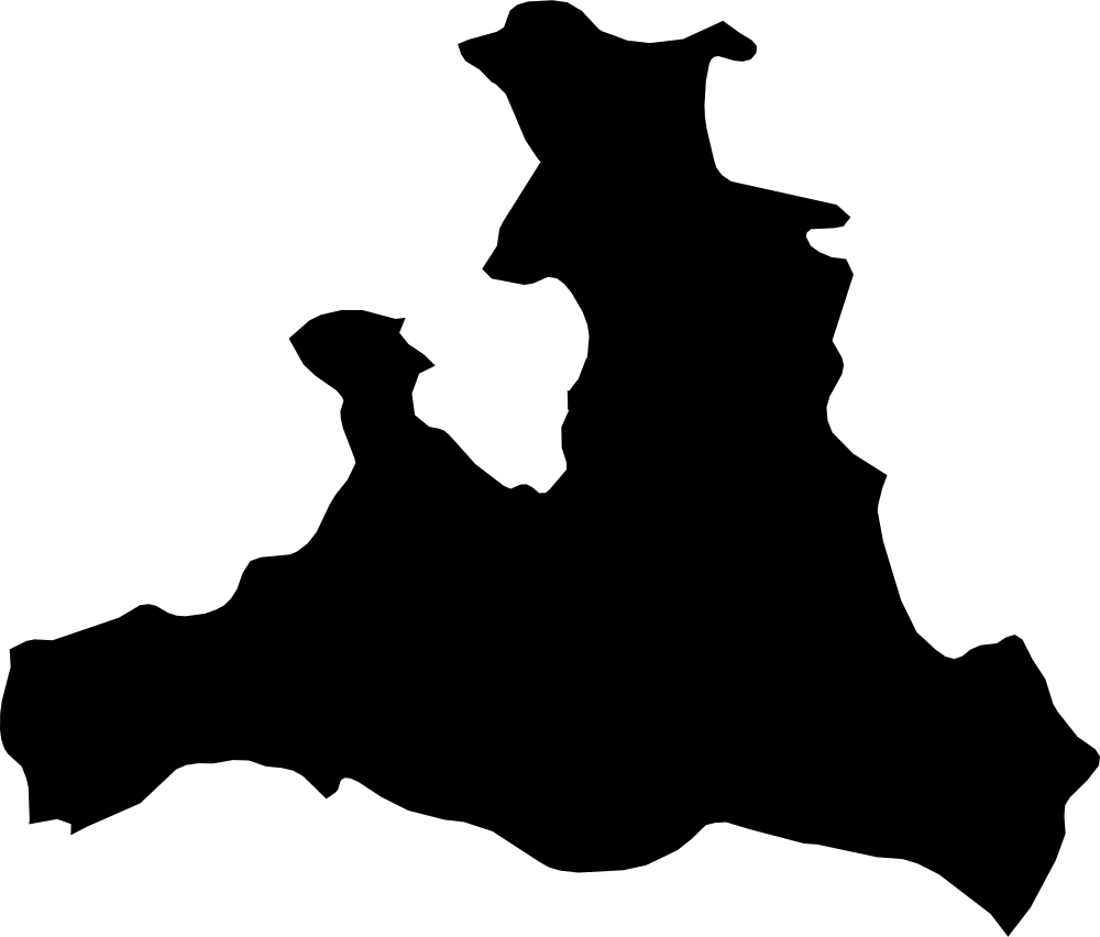
Salzburg, Austria
7,205.7 km² Area (map outline)
Explore · approximate map area
State in Austria
Area calculated from the Natural Earth 5.1.1 generalized map outline using a local equal-area projection. The answer uses the same simplified outline shown, including islands and holes. This is a map comparison, not a precise surveyed or legal area.
Natural Earth 5.1.1 — Admin 1 states and provinces ↗Artwork: Natural Earth 5.1.1; projected and simplified by scripts/import-geography.py · Public domain
 Geography
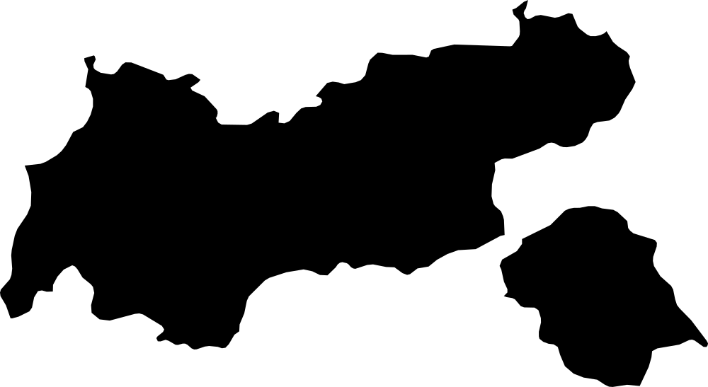
Tyrol, Austria
12,721.8 km² Area (map outline)
Explore · approximate map area
State in Austria
Area calculated from the Natural Earth 5.1.1 generalized map outline using a local equal-area projection. The answer uses the same simplified outline shown, including islands and holes. This is a map comparison, not a precise surveyed or legal area.
Natural Earth 5.1.1 — Admin 1 states and provinces ↗Artwork: Natural Earth 5.1.1; projected and simplified by scripts/import-geography.py · Public domain
 Geography
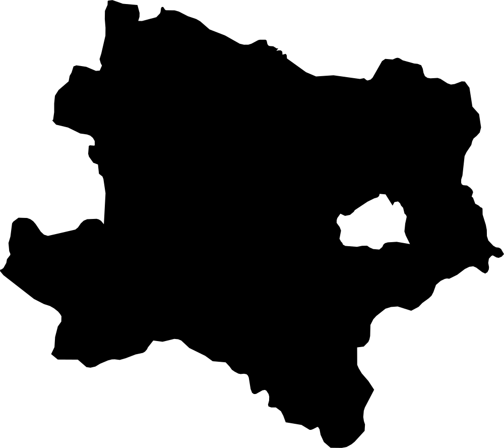
Lower Austria, Austria
19,098.4 km² Area (map outline)
Explore · approximate map area
State in Austria
Area calculated from the Natural Earth 5.1.1 generalized map outline using a local equal-area projection. The answer uses the same simplified outline shown, including islands and holes. This is a map comparison, not a precise surveyed or legal area.
Natural Earth 5.1.1 — Admin 1 states and provinces ↗Artwork: Natural Earth 5.1.1; projected and simplified by scripts/import-geography.py · Public domain
 Geography
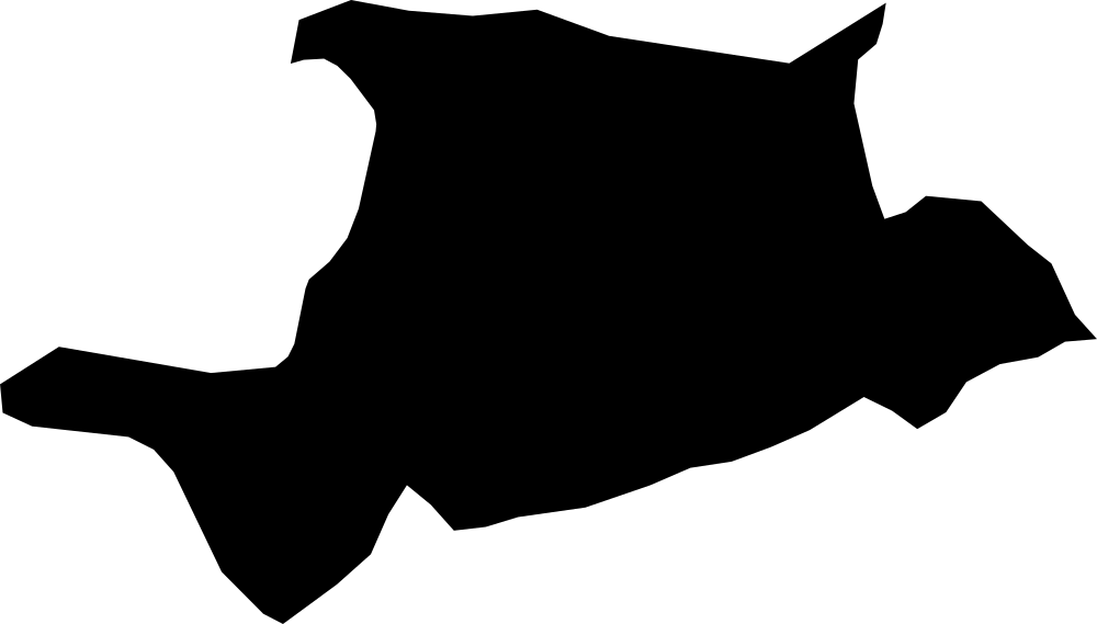
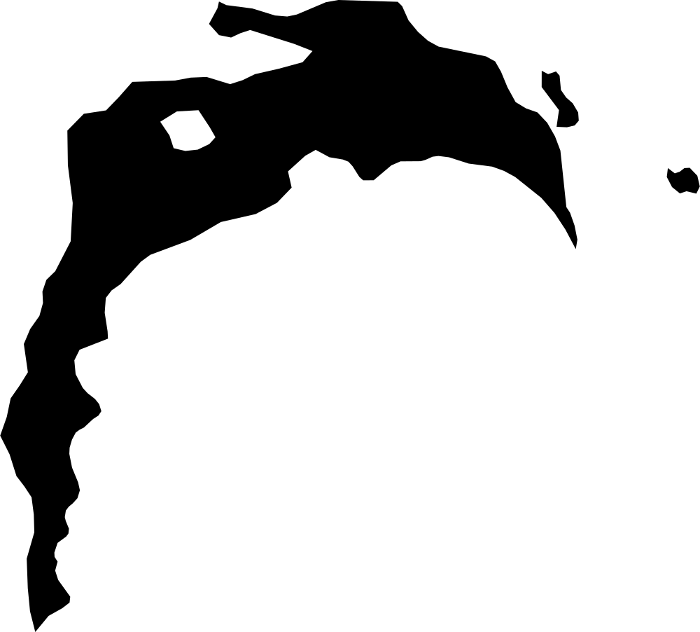
Kalbajar, Azerbaijan
2,770.7 km² Area (map outline)
Explore · approximate map area
District in Azerbaijan
Area calculated from the Natural Earth 5.1.1 generalized map outline using a local equal-area projection. The answer uses the same simplified outline shown, including islands and holes. This is a map comparison, not a precise surveyed or legal area.
Natural Earth 5.1.1 — Admin 1 states and provinces ↗Artwork: Natural Earth 5.1.1; projected and simplified by scripts/import-geography.py · Public domain
 Geography
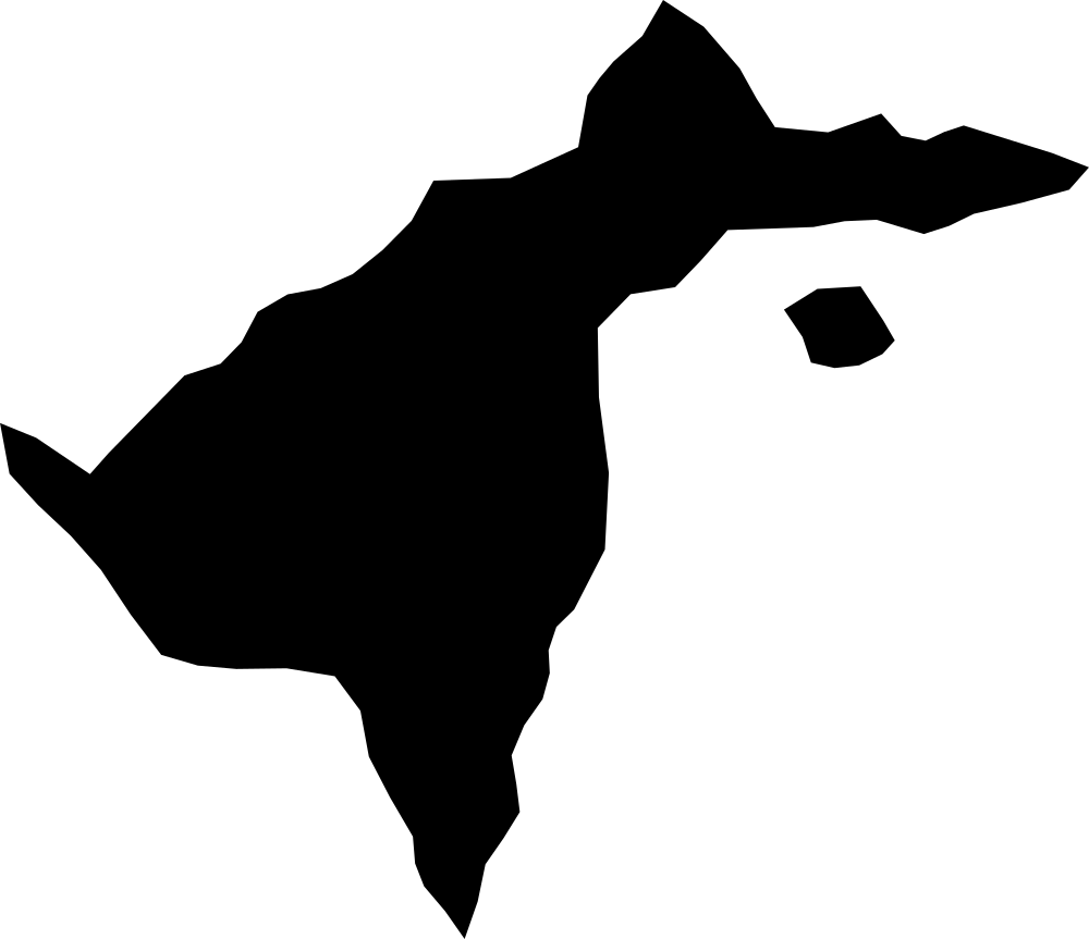
Baku, Azerbaijan
2,365 km² Area (map outline)
Explore · approximate map area
Municipality in Azerbaijan
Area calculated from the Natural Earth 5.1.1 generalized map outline using a local equal-area projection. The answer uses the same simplified outline shown, including islands and holes. This is a map comparison, not a precise surveyed or legal area.
Natural Earth 5.1.1 — Admin 1 states and provinces ↗Artwork: Natural Earth 5.1.1; projected and simplified by scripts/import-geography.py · Public domain
 Geography
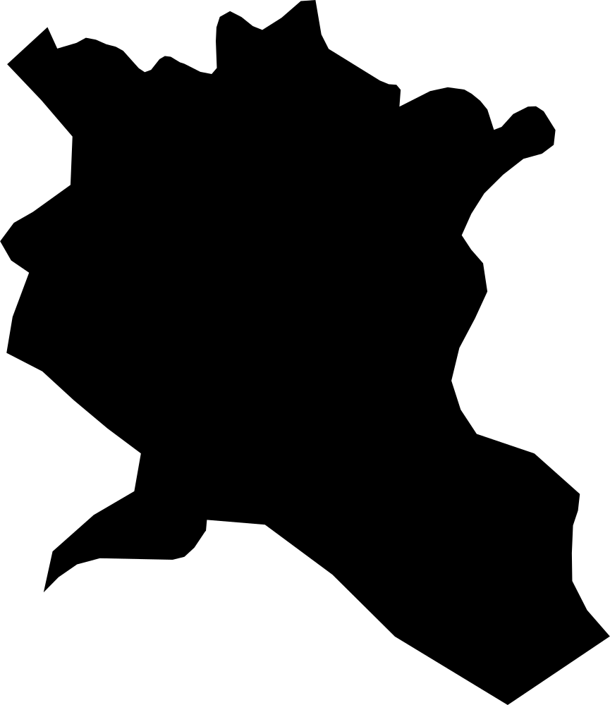
Absheron, Azerbaijan
1,961.3 km² Area (map outline)
Explore · approximate map area
District in Azerbaijan
Area calculated from the Natural Earth 5.1.1 generalized map outline using a local equal-area projection. The answer uses the same simplified outline shown, including islands and holes. This is a map comparison, not a precise surveyed or legal area.
Natural Earth 5.1.1 — Admin 1 states and provinces ↗Artwork: Natural Earth 5.1.1; projected and simplified by scripts/import-geography.py · Public domain
 Geography
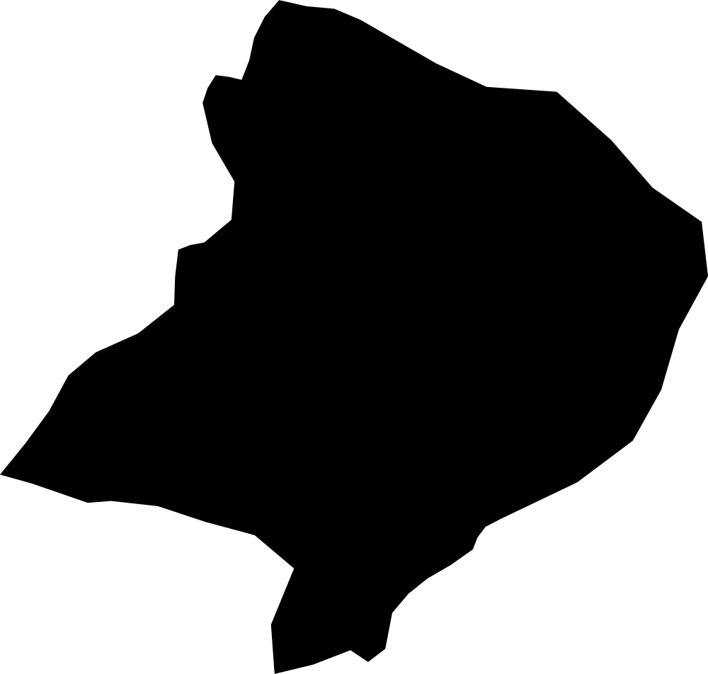
Imishli, Azerbaijan
1,986.2 km² Area (map outline)
Explore · approximate map area
District in Azerbaijan
Area calculated from the Natural Earth 5.1.1 generalized map outline using a local equal-area projection. The answer uses the same simplified outline shown, including islands and holes. This is a map comparison, not a precise surveyed or legal area.
Natural Earth 5.1.1 — Admin 1 states and provinces ↗Artwork: Natural Earth 5.1.1; projected and simplified by scripts/import-geography.py · Public domain
 Geography
Ismayilli, Azerbaijan
2,062.4 km² Area (map outline)
Explore · approximate map area
District in Azerbaijan
Area calculated from the Natural Earth 5.1.1 generalized map outline using a local equal-area projection. The answer uses the same simplified outline shown, including islands and holes. This is a map comparison, not a precise surveyed or legal area.
Natural Earth 5.1.1 — Admin 1 states and provinces ↗Artwork: Natural Earth 5.1.1; projected and simplified by scripts/import-geography.py · Public domain
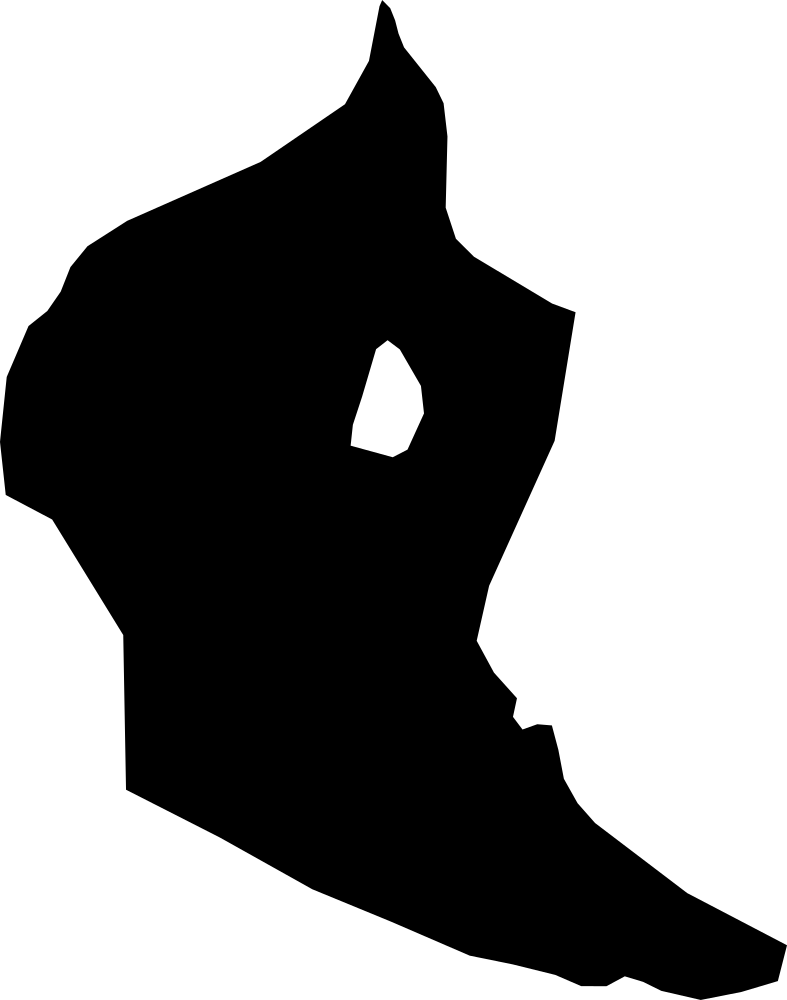 Geography
Sheki, Azerbaijan
2,352.3 km² Area (map outline)
Explore · approximate map area
District in Azerbaijan
Area calculated from the Natural Earth 5.1.1 generalized map outline using a local equal-area projection. The answer uses the same simplified outline shown, including islands and holes. This is a map comparison, not a precise surveyed or legal area.
Natural Earth 5.1.1 — Admin 1 states and provinces ↗Artwork: Natural Earth 5.1.1; projected and simplified by scripts/import-geography.py · Public domain
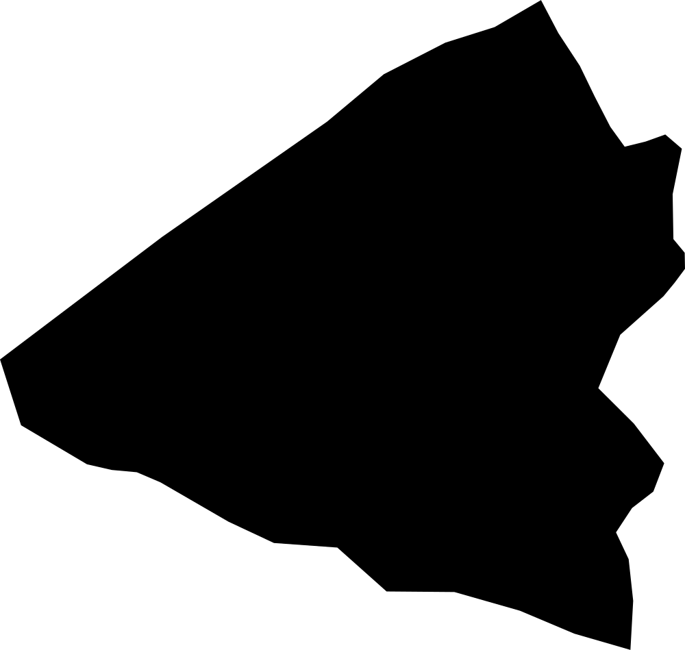 Geography
Quba, Azerbaijan
2,561.6 km² Area (map outline)
Explore · approximate map area
District in Azerbaijan
Area calculated from the Natural Earth 5.1.1 generalized map outline using a local equal-area projection. The answer uses the same simplified outline shown, including islands and holes. This is a map comparison, not a precise surveyed or legal area.
Natural Earth 5.1.1 — Admin 1 states and provinces ↗Artwork: Natural Earth 5.1.1; projected and simplified by scripts/import-geography.py · Public domain
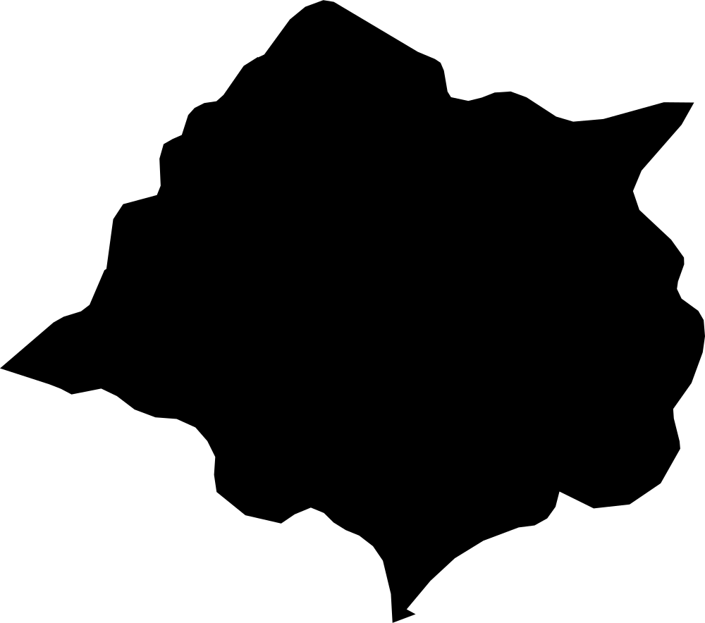 Geography
Cankuzo, Burundi
1,799.3 km² Area (map outline)
Explore · approximate map area
Province in Burundi
Area calculated from the Natural Earth 5.1.1 generalized map outline using a local equal-area projection. The answer uses the same simplified outline shown, including islands and holes. This is a map comparison, not a precise surveyed or legal area.
Natural Earth 5.1.1 — Admin 1 states and provinces ↗Artwork: Natural Earth 5.1.1; projected and simplified by scripts/import-geography.py · Public domain
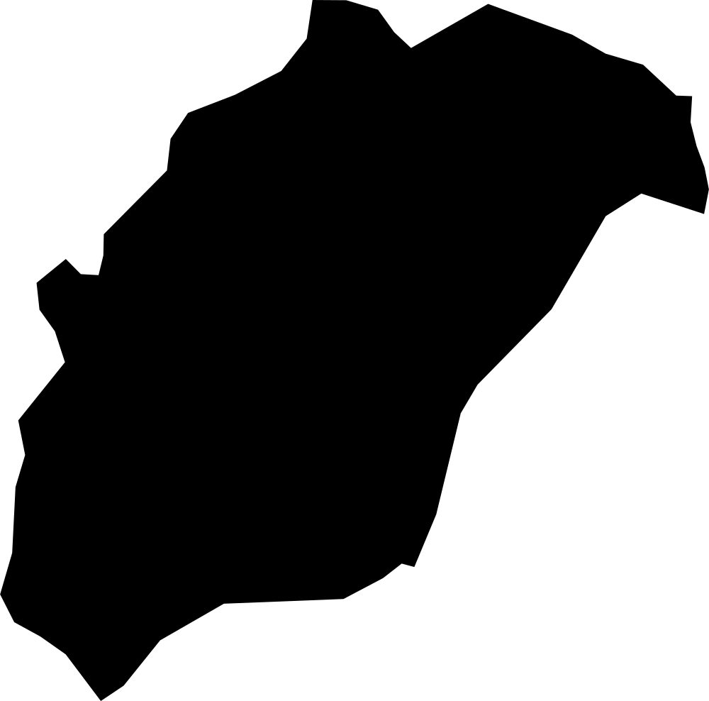 Geography
Rutana, Burundi
1,680.5 km² Area (map outline)
Explore · approximate map area
Province in Burundi
Area calculated from the Natural Earth 5.1.1 generalized map outline using a local equal-area projection. The answer uses the same simplified outline shown, including islands and holes. This is a map comparison, not a precise surveyed or legal area.
Natural Earth 5.1.1 — Admin 1 states and provinces ↗Artwork: Natural Earth 5.1.1; projected and simplified by scripts/import-geography.py · Public domain
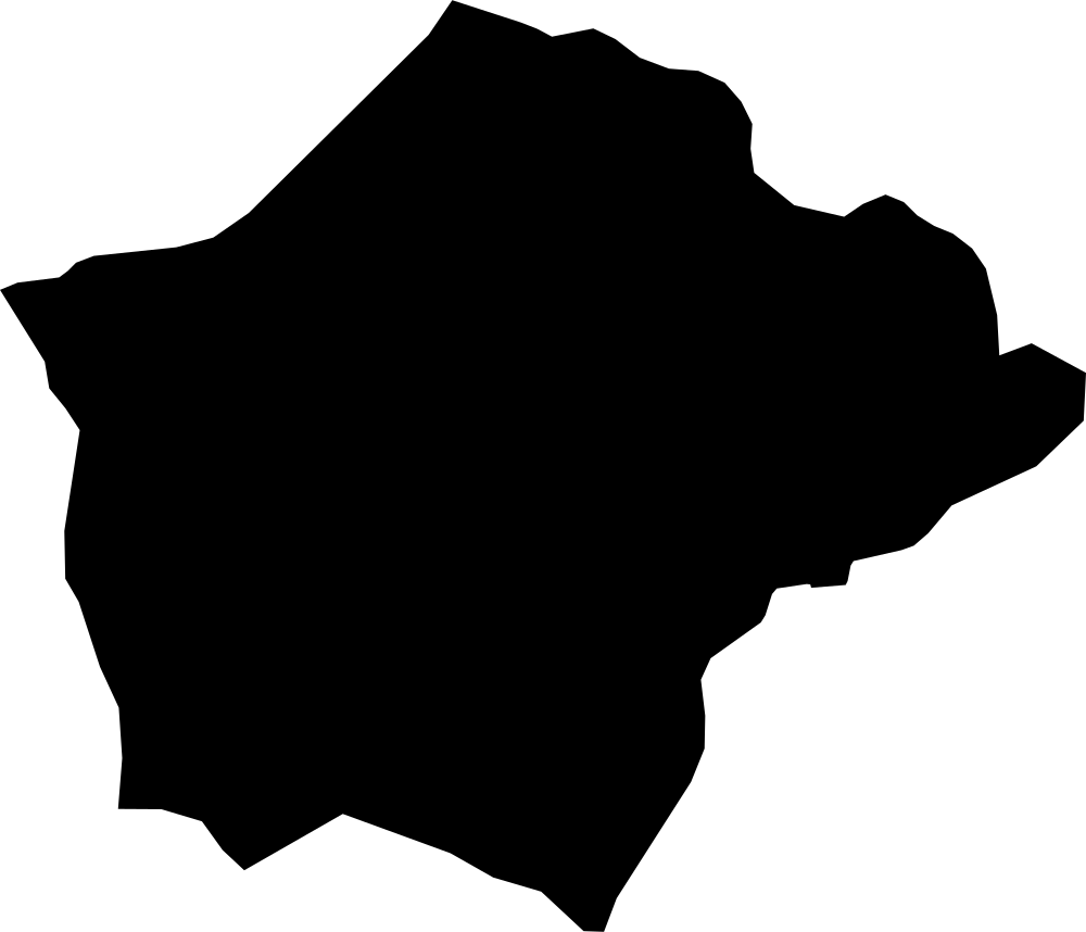 Geography
Ruyigi, Burundi
2,189.6 km² Area (map outline)
Explore · approximate map area
Province in Burundi
Area calculated from the Natural Earth 5.1.1 generalized map outline using a local equal-area projection. The answer uses the same simplified outline shown, including islands and holes. This is a map comparison, not a precise surveyed or legal area.
Natural Earth 5.1.1 — Admin 1 states and provinces ↗Artwork: Natural Earth 5.1.1; projected and simplified by scripts/import-geography.py · Public domain
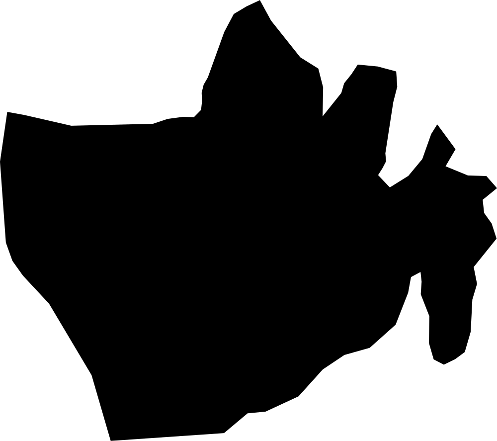 Geography
Bururi, Burundi
3,366.8 km² Area (map outline)
Explore · approximate map area
Province in Burundi
Area calculated from the Natural Earth 5.1.1 generalized map outline using a local equal-area projection. The answer uses the same simplified outline shown, including islands and holes. This is a map comparison, not a precise surveyed or legal area.
Natural Earth 5.1.1 — Admin 1 states and provinces ↗Artwork: Natural Earth 5.1.1; projected and simplified by scripts/import-geography.py · Public domain
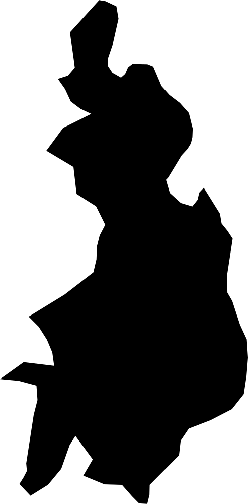 Geography
Gitega, Burundi
1,835.9 km² Area (map outline)
Explore · approximate map area
Province in Burundi
Area calculated from the Natural Earth 5.1.1 generalized map outline using a local equal-area projection. The answer uses the same simplified outline shown, including islands and holes. This is a map comparison, not a precise surveyed or legal area.
Natural Earth 5.1.1 — Admin 1 states and provinces ↗Artwork: Natural Earth 5.1.1; projected and simplified by scripts/import-geography.py · Public domain
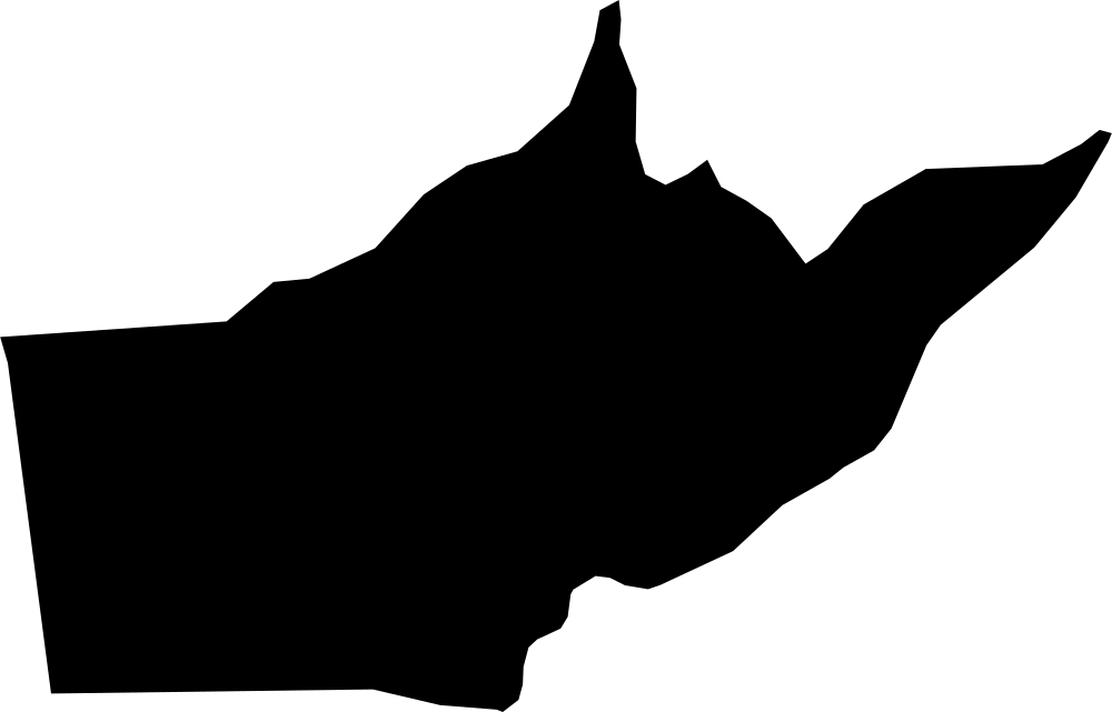 Geography
Makamba, Burundi
2,447.7 km² Area (map outline)
Explore · approximate map area
Province in Burundi
Area calculated from the Natural Earth 5.1.1 generalized map outline using a local equal-area projection. The answer uses the same simplified outline shown, including islands and holes. This is a map comparison, not a precise surveyed or legal area.
Natural Earth 5.1.1 — Admin 1 states and provinces ↗Artwork: Natural Earth 5.1.1; projected and simplified by scripts/import-geography.py · Public domain
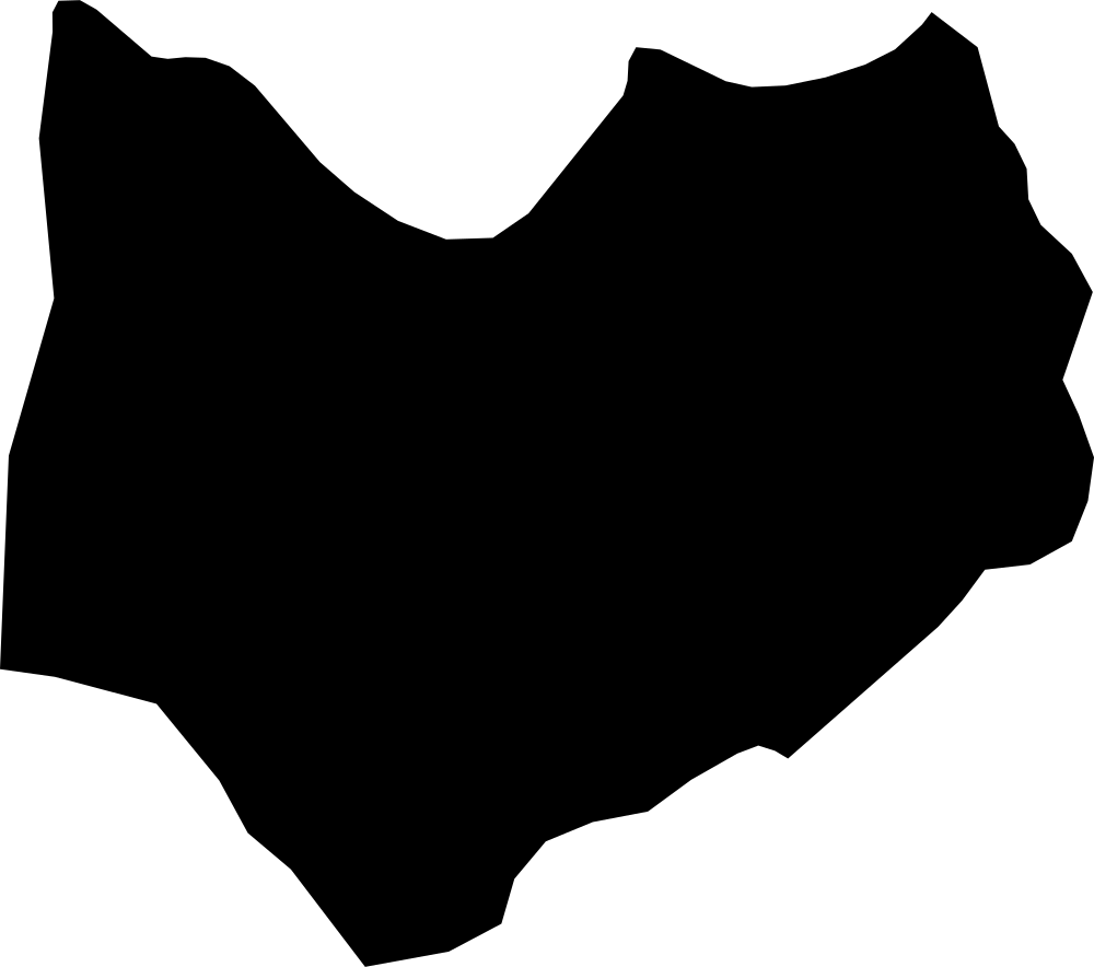 Geography
Kirundo, Burundi
1,948.7 km² Area (map outline)
Explore · approximate map area
Province in Burundi
Area calculated from the Natural Earth 5.1.1 generalized map outline using a local equal-area projection. The answer uses the same simplified outline shown, including islands and holes. This is a map comparison, not a precise surveyed or legal area.
Natural Earth 5.1.1 — Admin 1 states and provinces ↗Artwork: Natural Earth 5.1.1; projected and simplified by scripts/import-geography.py · Public domain
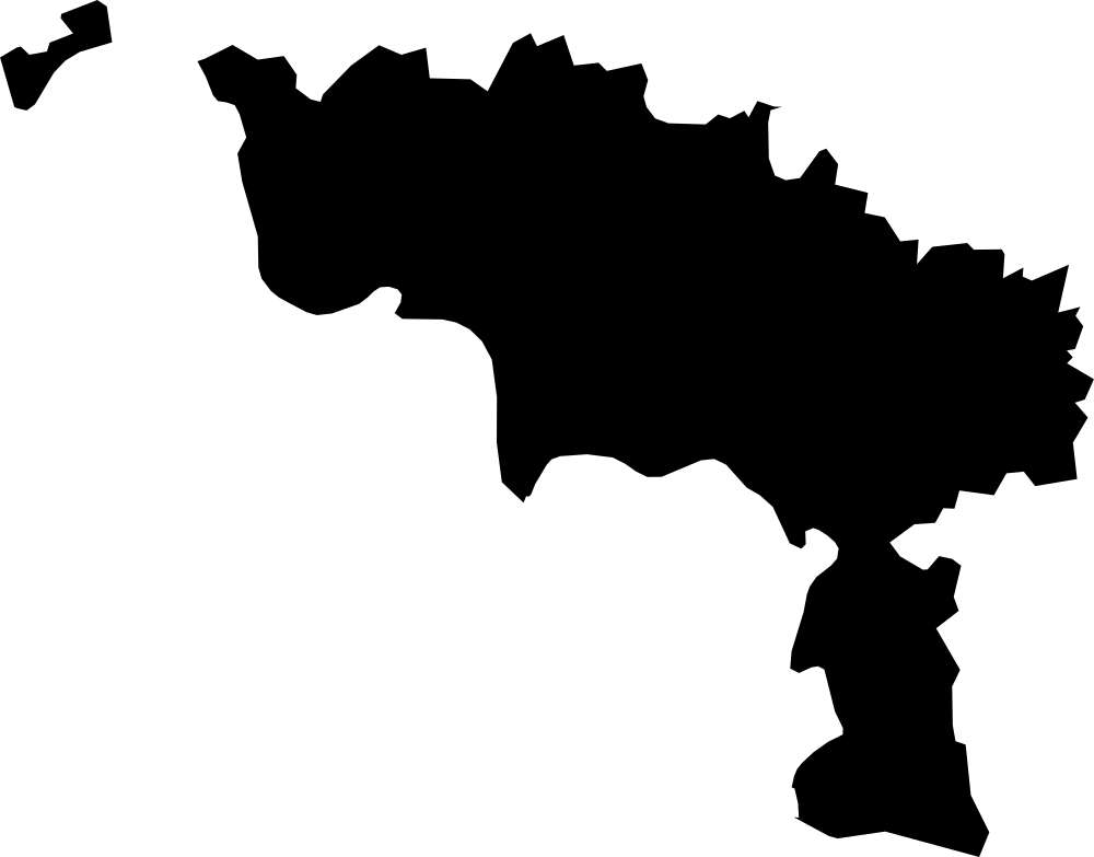 Geography
Hainaut, Belgium
3,981.3 km² Area (map outline)
Explore · approximate map area
Province in Belgium
Area calculated from the Natural Earth 5.1.1 generalized map outline using a local equal-area projection. The answer uses the same simplified outline shown, including islands and holes. This is a map comparison, not a precise surveyed or legal area.
Natural Earth 5.1.1 — Admin 1 states and provinces ↗Artwork: Natural Earth 5.1.1; projected and simplified by scripts/import-geography.py · Public domain
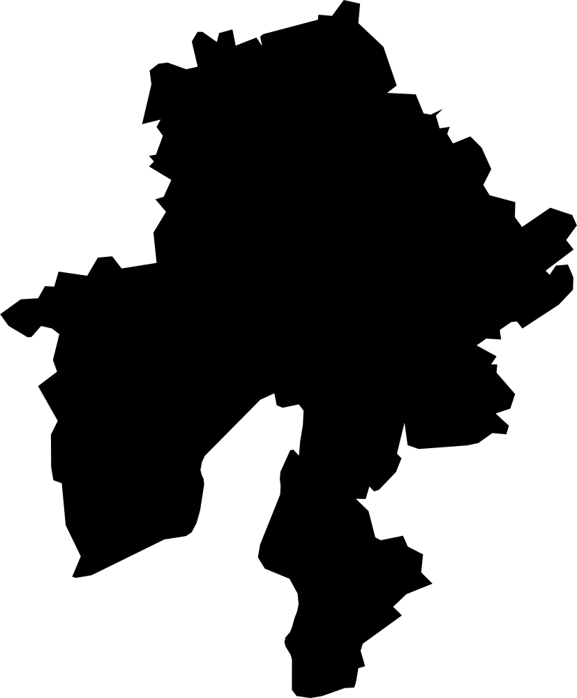 Geography
Namur, Belgium
3,721.8 km² Area (map outline)
Explore · approximate map area
Province in Belgium
Area calculated from the Natural Earth 5.1.1 generalized map outline using a local equal-area projection. The answer uses the same simplified outline shown, including islands and holes. This is a map comparison, not a precise surveyed or legal area.
Natural Earth 5.1.1 — Admin 1 states and provinces ↗Artwork: Natural Earth 5.1.1; projected and simplified by scripts/import-geography.py · Public domain
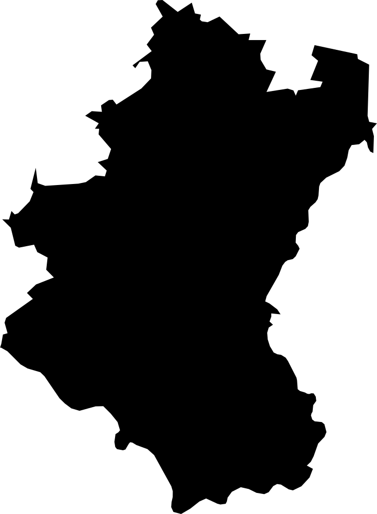 Geography
Luxembourg, Belgium
4,436.6 km² Area (map outline)
Explore · approximate map area
Province in Belgium
Area calculated from the Natural Earth 5.1.1 generalized map outline using a local equal-area projection. The answer uses the same simplified outline shown, including islands and holes. This is a map comparison, not a precise surveyed or legal area.
Natural Earth 5.1.1 — Admin 1 states and provinces ↗Artwork: Natural Earth 5.1.1; projected and simplified by scripts/import-geography.py · Public domain
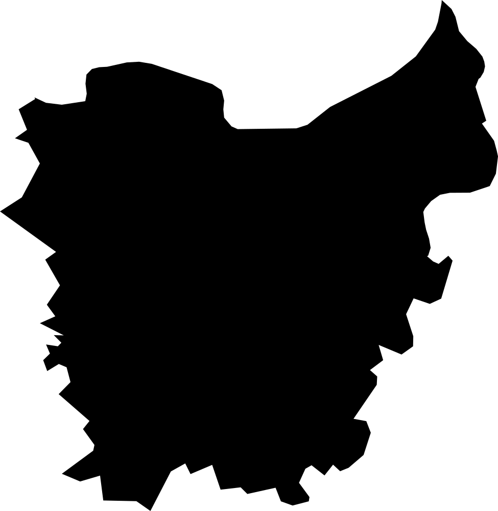 Geography
East Flanders, Belgium
2,979.2 km² Area (map outline)
Explore · approximate map area
Province in Belgium
Area calculated from the Natural Earth 5.1.1 generalized map outline using a local equal-area projection. The answer uses the same simplified outline shown, including islands and holes. This is a map comparison, not a precise surveyed or legal area.
Natural Earth 5.1.1 — Admin 1 states and provinces ↗Artwork: Natural Earth 5.1.1; projected and simplified by scripts/import-geography.py · Public domain
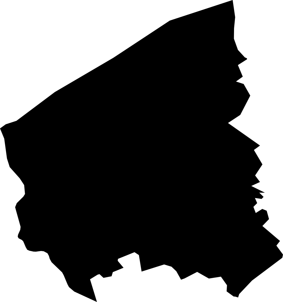 Geography
West Flanders, Belgium
3,281.7 km² Area (map outline)
Explore · approximate map area
Province in Belgium
Area calculated from the Natural Earth 5.1.1 generalized map outline using a local equal-area projection. The answer uses the same simplified outline shown, including islands and holes. This is a map comparison, not a precise surveyed or legal area.
Natural Earth 5.1.1 — Admin 1 states and provinces ↗Artwork: Natural Earth 5.1.1; projected and simplified by scripts/import-geography.py · Public domain
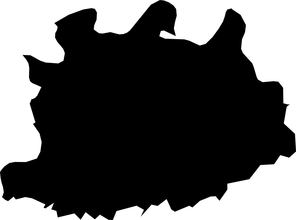 Geography
Antwerp, Belgium
2,769 km² Area (map outline)
Explore · approximate map area
Province in Belgium
Area calculated from the Natural Earth 5.1.1 generalized map outline using a local equal-area projection. The answer uses the same simplified outline shown, including islands and holes. This is a map comparison, not a precise surveyed or legal area.
Natural Earth 5.1.1 — Admin 1 states and provinces ↗Artwork: Natural Earth 5.1.1; projected and simplified by scripts/import-geography.py · Public domain
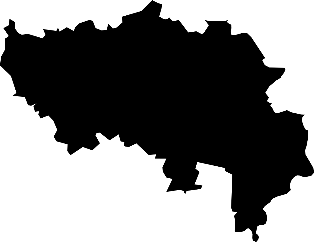 Geography
Liège, Belgium
3,747.7 km² Area (map outline)
Explore · approximate map area
Province in Belgium
Area calculated from the Natural Earth 5.1.1 generalized map outline using a local equal-area projection. The answer uses the same simplified outline shown, including islands and holes. This is a map comparison, not a precise surveyed or legal area.
Natural Earth 5.1.1 — Admin 1 states and provinces ↗Artwork: Natural Earth 5.1.1; projected and simplified by scripts/import-geography.py · Public domain
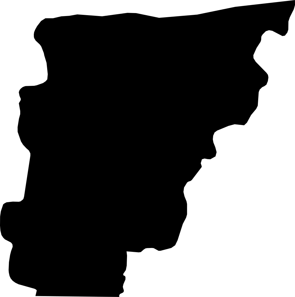 Geography
Borgou, Benin
25,622.2 km² Area (map outline)
Explore · approximate map area
Department in Benin
Area calculated from the Natural Earth 5.1.1 generalized map outline using a local equal-area projection. The answer uses the same simplified outline shown, including islands and holes. This is a map comparison, not a precise surveyed or legal area.
Natural Earth 5.1.1 — Admin 1 states and provinces ↗Artwork: Natural Earth 5.1.1; projected and simplified by scripts/import-geography.py · Public domain
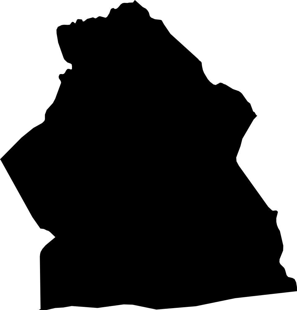 Geography
Alibori, Benin
26,689.8 km² Area (map outline)
Explore · approximate map area
Department in Benin
Area calculated from the Natural Earth 5.1.1 generalized map outline using a local equal-area projection. The answer uses the same simplified outline shown, including islands and holes. This is a map comparison, not a precise surveyed or legal area.
Natural Earth 5.1.1 — Admin 1 states and provinces ↗Artwork: Natural Earth 5.1.1; projected and simplified by scripts/import-geography.py · Public domain
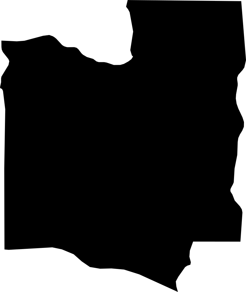 Geography
Collines, Benin
14,345.8 km² Area (map outline)
Explore · approximate map area
Department in Benin
Area calculated from the Natural Earth 5.1.1 generalized map outline using a local equal-area projection. The answer uses the same simplified outline shown, including islands and holes. This is a map comparison, not a precise surveyed or legal area.
Natural Earth 5.1.1 — Admin 1 states and provinces ↗Artwork: Natural Earth 5.1.1; projected and simplified by scripts/import-geography.py · Public domain
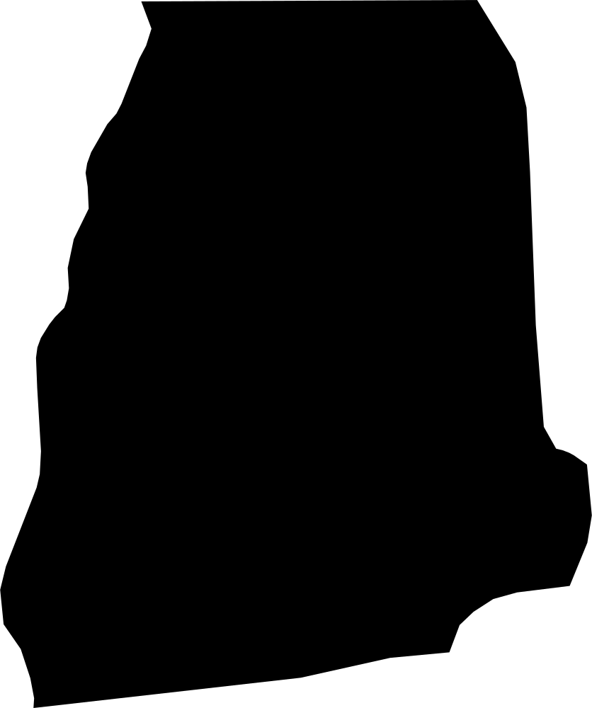 Geography
Atlantique, Benin
3,137.8 km² Area (map outline)
Explore · approximate map area
Department in Benin
Area calculated from the Natural Earth 5.1.1 generalized map outline using a local equal-area projection. The answer uses the same simplified outline shown, including islands and holes. This is a map comparison, not a precise surveyed or legal area.
Natural Earth 5.1.1 — Admin 1 states and provinces ↗Artwork: Natural Earth 5.1.1; projected and simplified by scripts/import-geography.py · Public domain
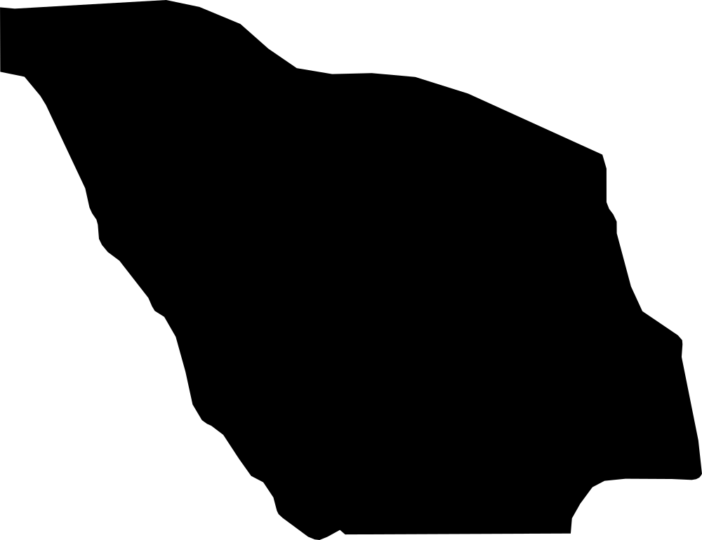 Geography
Zou, Benin
5,087.2 km² Area (map outline)
Explore · approximate map area
Department in Benin
Area calculated from the Natural Earth 5.1.1 generalized map outline using a local equal-area projection. The answer uses the same simplified outline shown, including islands and holes. This is a map comparison, not a precise surveyed or legal area.
Natural Earth 5.1.1 — Admin 1 states and provinces ↗Artwork: Natural Earth 5.1.1; projected and simplified by scripts/import-geography.py · Public domain
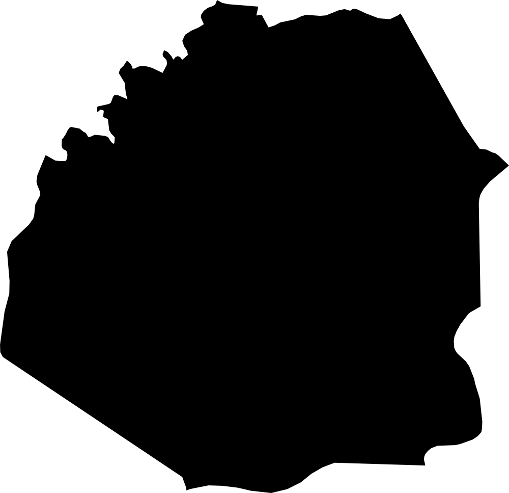 Geography
Atakora, Benin
21,248.5 km² Area (map outline)
Explore · approximate map area
Department in Benin
Area calculated from the Natural Earth 5.1.1 generalized map outline using a local equal-area projection. The answer uses the same simplified outline shown, including islands and holes. This is a map comparison, not a precise surveyed or legal area.
Natural Earth 5.1.1 — Admin 1 states and provinces ↗Artwork: Natural Earth 5.1.1; projected and simplified by scripts/import-geography.py · Public domain
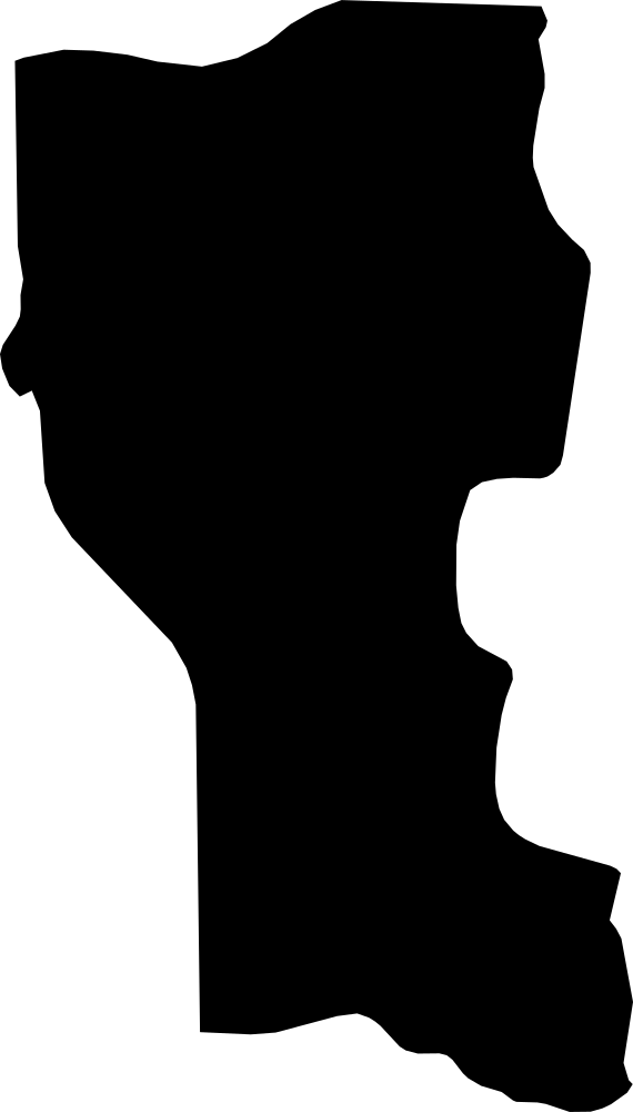 Geography
Donga, Benin
11,005 km² Area (map outline)
Explore · approximate map area
Department in Benin
Area calculated from the Natural Earth 5.1.1 generalized map outline using a local equal-area projection. The answer uses the same simplified outline shown, including islands and holes. This is a map comparison, not a precise surveyed or legal area.
Natural Earth 5.1.1 — Admin 1 states and provinces ↗Artwork: Natural Earth 5.1.1; projected and simplified by scripts/import-geography.py · Public domain
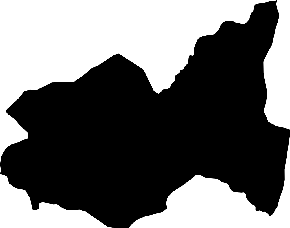 Geography
Gourma, Burkina Faso
11,162.4 km² Area (map outline)
Explore · approximate map area
Province in Burkina Faso
Area calculated from the Natural Earth 5.1.1 generalized map outline using a local equal-area projection. The answer uses the same simplified outline shown, including islands and holes. This is a map comparison, not a precise surveyed or legal area.
Natural Earth 5.1.1 — Admin 1 states and provinces ↗Artwork: Natural Earth 5.1.1; projected and simplified by scripts/import-geography.py · Public domain
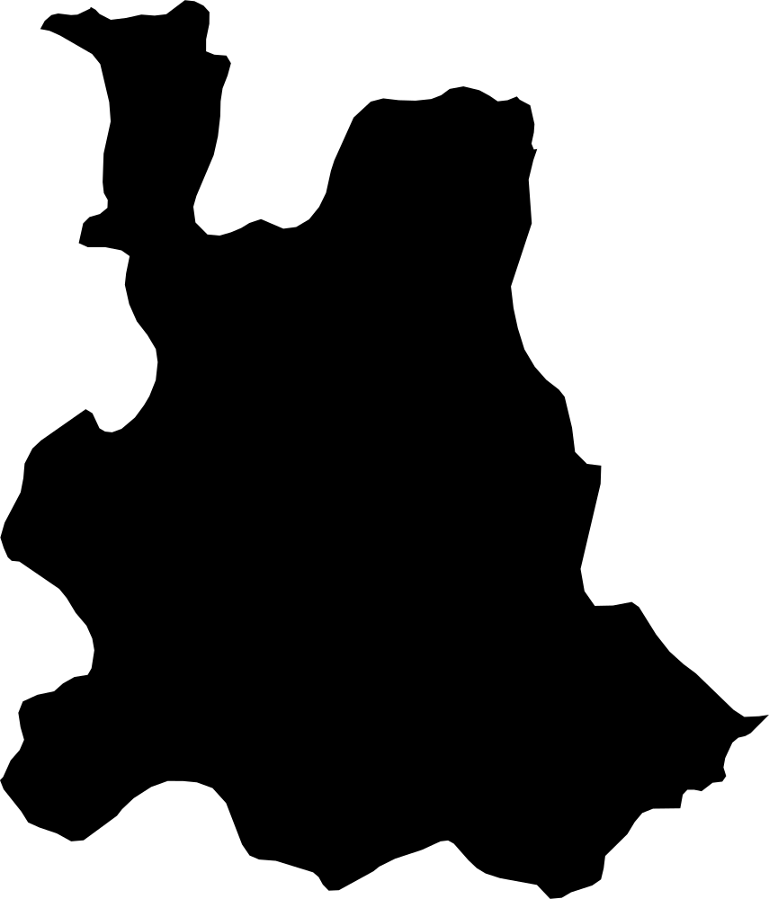 Geography
Houet, Burkina Faso
11,436.8 km² Area (map outline)
Explore · approximate map area
Province in Burkina Faso
Area calculated from the Natural Earth 5.1.1 generalized map outline using a local equal-area projection. The answer uses the same simplified outline shown, including islands and holes. This is a map comparison, not a precise surveyed or legal area.
Natural Earth 5.1.1 — Admin 1 states and provinces ↗Artwork: Natural Earth 5.1.1; projected and simplified by scripts/import-geography.py · Public domain
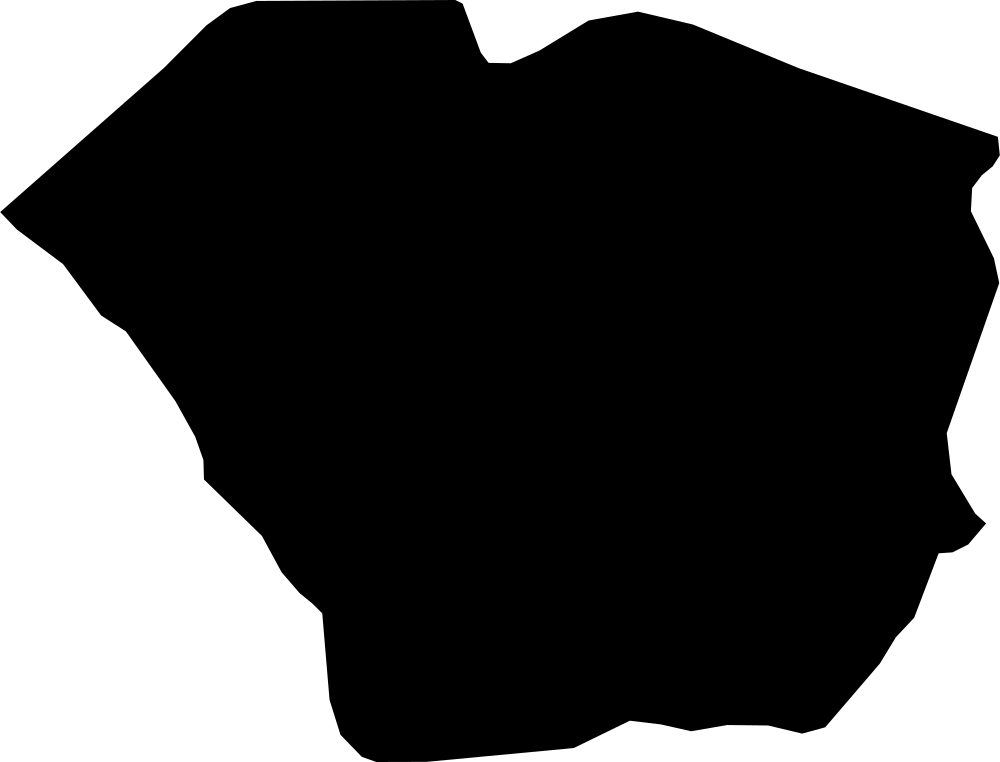 Geography
Oudalan, Burkina Faso
10,000.8 km² Area (map outline)
Explore · approximate map area
Province in Burkina Faso
Area calculated from the Natural Earth 5.1.1 generalized map outline using a local equal-area projection. The answer uses the same simplified outline shown, including islands and holes. This is a map comparison, not a precise surveyed or legal area.
Natural Earth 5.1.1 — Admin 1 states and provinces ↗Artwork: Natural Earth 5.1.1; projected and simplified by scripts/import-geography.py · Public domain
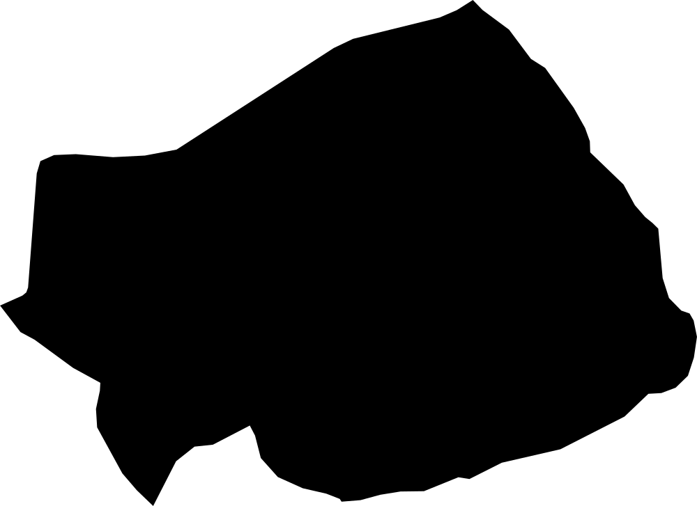 Geography
Soum, Burkina Faso
12,785.4 km² Area (map outline)
Explore · approximate map area
Province in Burkina Faso
Area calculated from the Natural Earth 5.1.1 generalized map outline using a local equal-area projection. The answer uses the same simplified outline shown, including islands and holes. This is a map comparison, not a precise surveyed or legal area.
Natural Earth 5.1.1 — Admin 1 states and provinces ↗Artwork: Natural Earth 5.1.1; projected and simplified by scripts/import-geography.py · Public domain
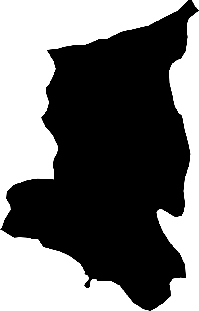 Geography
Sanmatenga, Burkina Faso
9,257 km² Area (map outline)
Explore · approximate map area
Province in Burkina Faso
Area calculated from the Natural Earth 5.1.1 generalized map outline using a local equal-area projection. The answer uses the same simplified outline shown, including islands and holes. This is a map comparison, not a precise surveyed or legal area.
Natural Earth 5.1.1 — Admin 1 states and provinces ↗Artwork: Natural Earth 5.1.1; projected and simplified by scripts/import-geography.py · Public domain
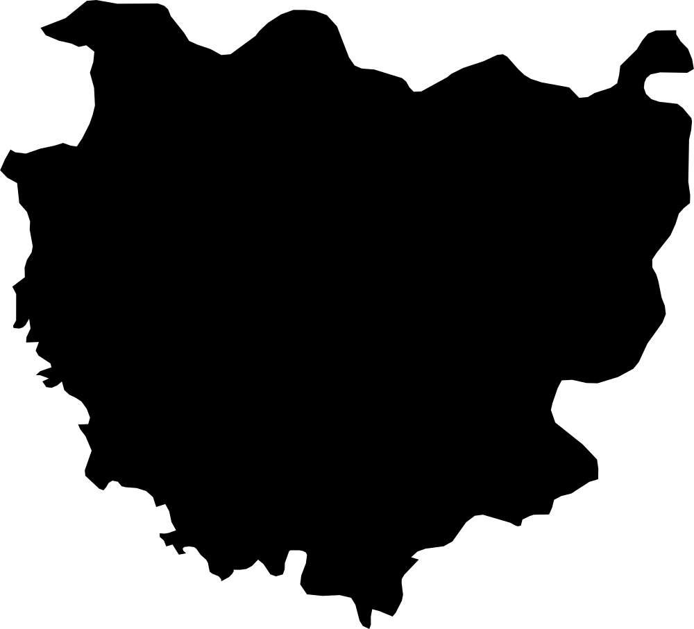 Geography
Comoé, Burkina Faso
15,296.4 km² Area (map outline)
Explore · approximate map area
Province in Burkina Faso
Area calculated from the Natural Earth 5.1.1 generalized map outline using a local equal-area projection. The answer uses the same simplified outline shown, including islands and holes. This is a map comparison, not a precise surveyed or legal area.
Natural Earth 5.1.1 — Admin 1 states and provinces ↗Artwork: Natural Earth 5.1.1; projected and simplified by scripts/import-geography.py · Public domain
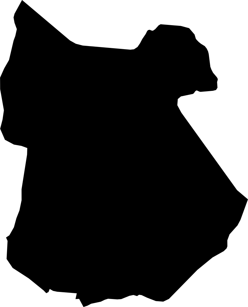 Geography
Tapoa, Burkina Faso
14,241.5 km² Area (map outline)
Explore · approximate map area
Province in Burkina Faso
Area calculated from the Natural Earth 5.1.1 generalized map outline using a local equal-area projection. The answer uses the same simplified outline shown, including islands and holes. This is a map comparison, not a precise surveyed or legal area.
Natural Earth 5.1.1 — Admin 1 states and provinces ↗Artwork: Natural Earth 5.1.1; projected and simplified by scripts/import-geography.py · Public domain
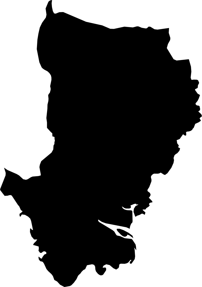 Geography
Dhaka, Bangladesh
30,548.6 km² Area (map outline)
Explore · approximate map area
Division in Bangladesh
Area calculated from the Natural Earth 5.1.1 generalized map outline using a local equal-area projection. The answer uses the same simplified outline shown, including islands and holes. This is a map comparison, not a precise surveyed or legal area.
Natural Earth 5.1.1 — Admin 1 states and provinces ↗Artwork: Natural Earth 5.1.1; projected and simplified by scripts/import-geography.py · Public domain
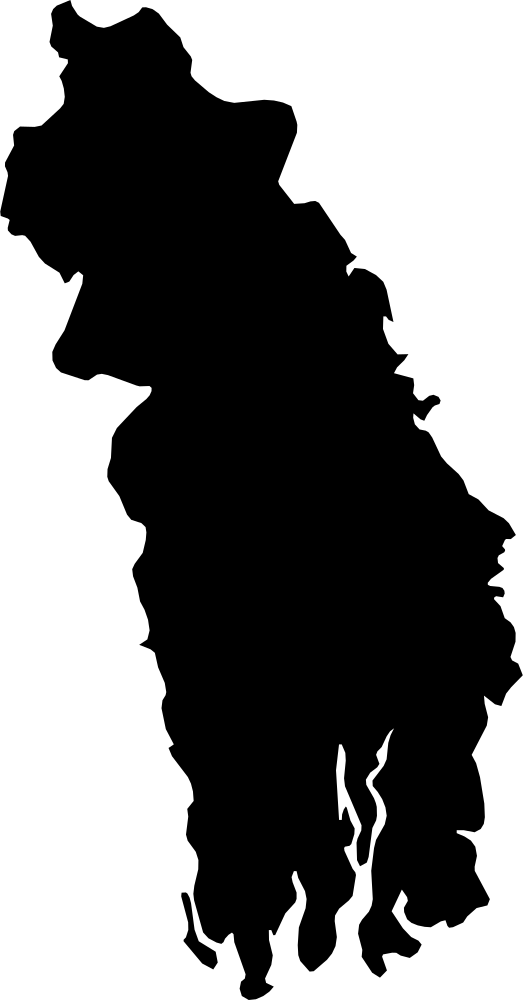 Geography
Khulna, Bangladesh
21,820.9 km² Area (map outline)
Explore · approximate map area
Division in Bangladesh
Area calculated from the Natural Earth 5.1.1 generalized map outline using a local equal-area projection. The answer uses the same simplified outline shown, including islands and holes. This is a map comparison, not a precise surveyed or legal area.
Natural Earth 5.1.1 — Admin 1 states and provinces ↗Artwork: Natural Earth 5.1.1; projected and simplified by scripts/import-geography.py · Public domain