Showing 529–576 of 1,741 records.
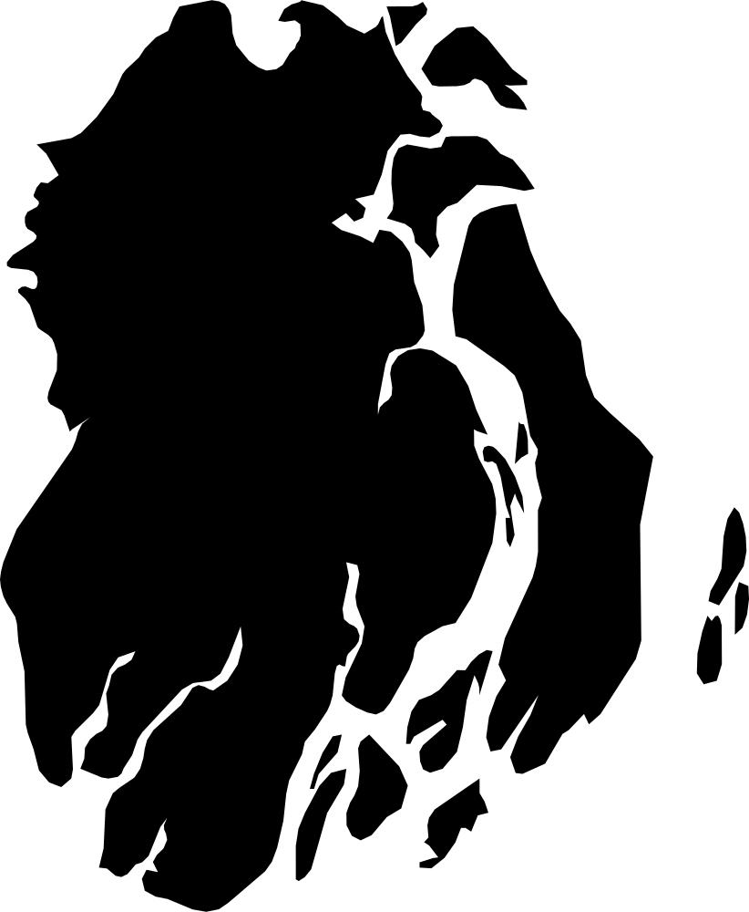 Geography
Barisal, Bangladesh
9,104.4 km² Area (map outline)
Explore · approximate map area
Division in Bangladesh
Area calculated from the Natural Earth 5.1.1 generalized map outline using a local equal-area projection. The answer uses the same simplified outline shown, including islands and holes. This is a map comparison, not a precise surveyed or legal area.
Natural Earth 5.1.1 — Admin 1 states and provinces ↗Artwork: Natural Earth 5.1.1; projected and simplified by scripts/import-geography.py · Public domain
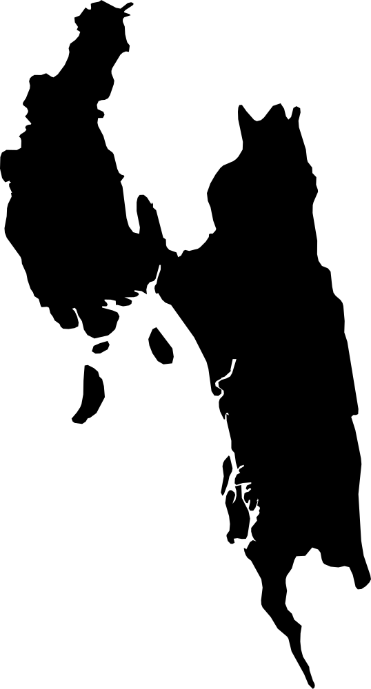 Geography
Chattogram, Bangladesh
29,223.4 km² Area (map outline)
Explore · approximate map area
Division in Bangladesh
Area calculated from the Natural Earth 5.1.1 generalized map outline using a local equal-area projection. The answer uses the same simplified outline shown, including islands and holes. This is a map comparison, not a precise surveyed or legal area.
Natural Earth 5.1.1 — Admin 1 states and provinces ↗Artwork: Natural Earth 5.1.1; projected and simplified by scripts/import-geography.py · Public domain
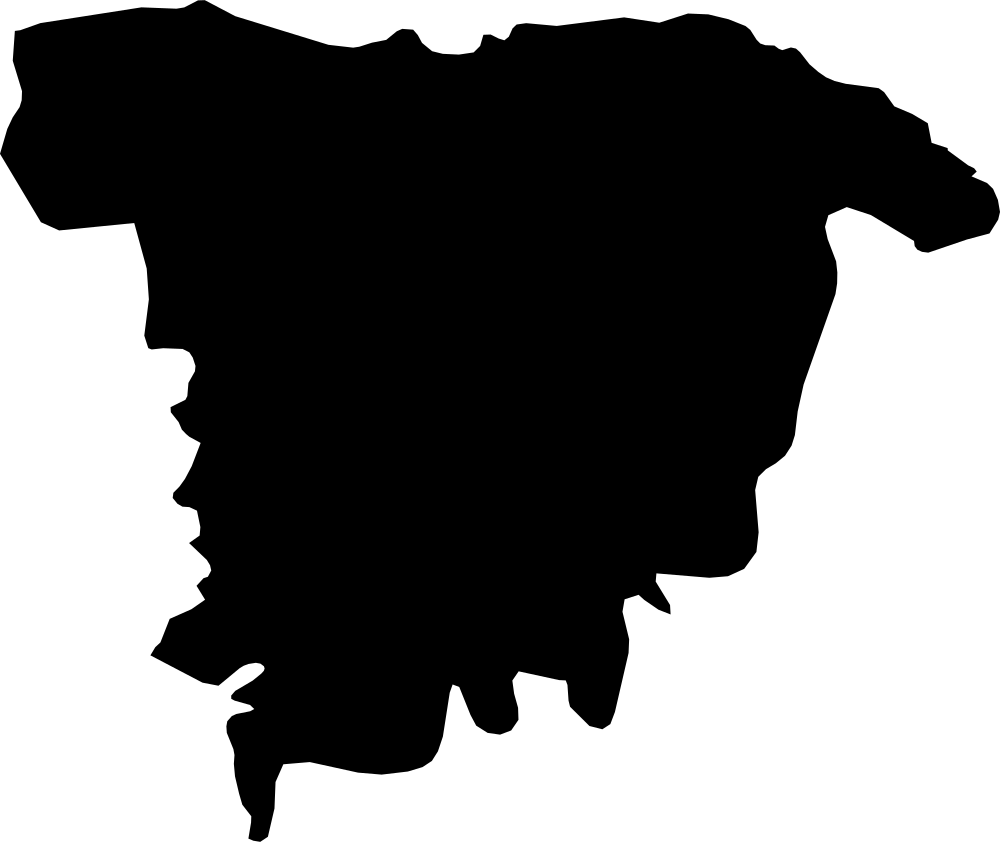 Geography
Sylhet, Bangladesh
11,968.9 km² Area (map outline)
Explore · approximate map area
Division in Bangladesh
Area calculated from the Natural Earth 5.1.1 generalized map outline using a local equal-area projection. The answer uses the same simplified outline shown, including islands and holes. This is a map comparison, not a precise surveyed or legal area.
Natural Earth 5.1.1 — Admin 1 states and provinces ↗Artwork: Natural Earth 5.1.1; projected and simplified by scripts/import-geography.py · Public domain
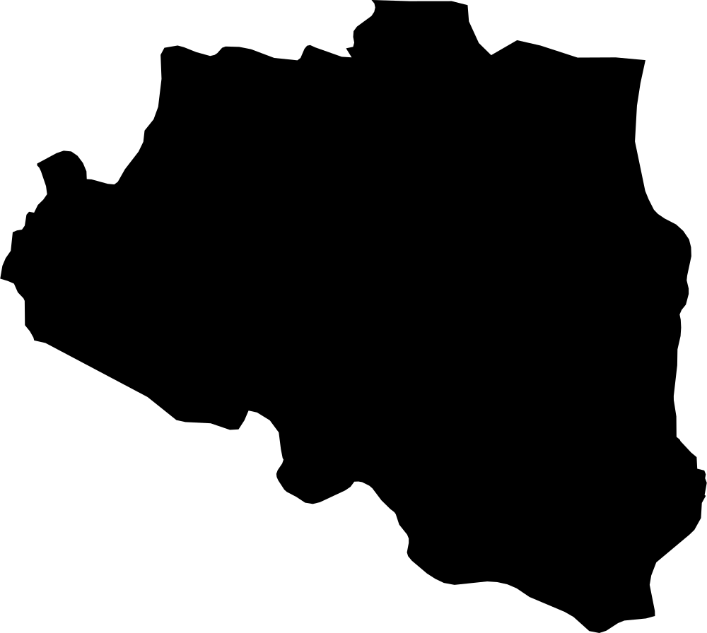 Geography
Rajshahi, Bangladesh
18,843.9 km² Area (map outline)
Explore · approximate map area
Division in Bangladesh
Area calculated from the Natural Earth 5.1.1 generalized map outline using a local equal-area projection. The answer uses the same simplified outline shown, including islands and holes. This is a map comparison, not a precise surveyed or legal area.
Natural Earth 5.1.1 — Admin 1 states and provinces ↗Artwork: Natural Earth 5.1.1; projected and simplified by scripts/import-geography.py · Public domain
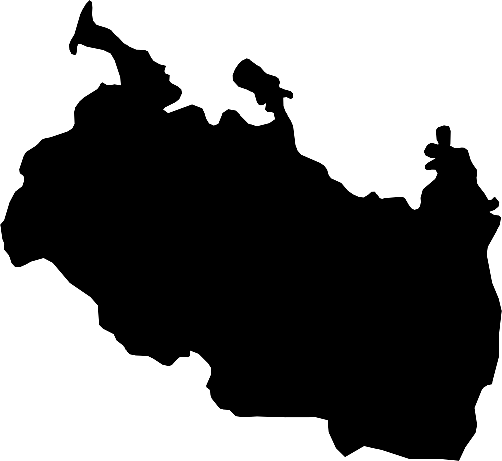 Geography
Rangpur, Bangladesh
15,392.7 km² Area (map outline)
Explore · approximate map area
Division in Bangladesh
Area calculated from the Natural Earth 5.1.1 generalized map outline using a local equal-area projection. The answer uses the same simplified outline shown, including islands and holes. This is a map comparison, not a precise surveyed or legal area.
Natural Earth 5.1.1 — Admin 1 states and provinces ↗Artwork: Natural Earth 5.1.1; projected and simplified by scripts/import-geography.py · Public domain
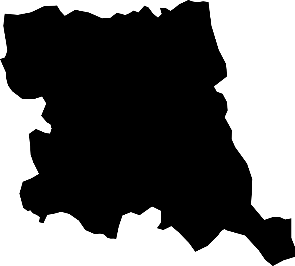 Geography
Stara Zagora, Bulgaria
4,861.1 km² Area (map outline)
Explore · approximate map area
Province in Bulgaria
Area calculated from the Natural Earth 5.1.1 generalized map outline using a local equal-area projection. The answer uses the same simplified outline shown, including islands and holes. This is a map comparison, not a precise surveyed or legal area.
Natural Earth 5.1.1 — Admin 1 states and provinces ↗Artwork: Natural Earth 5.1.1; projected and simplified by scripts/import-geography.py · Public domain
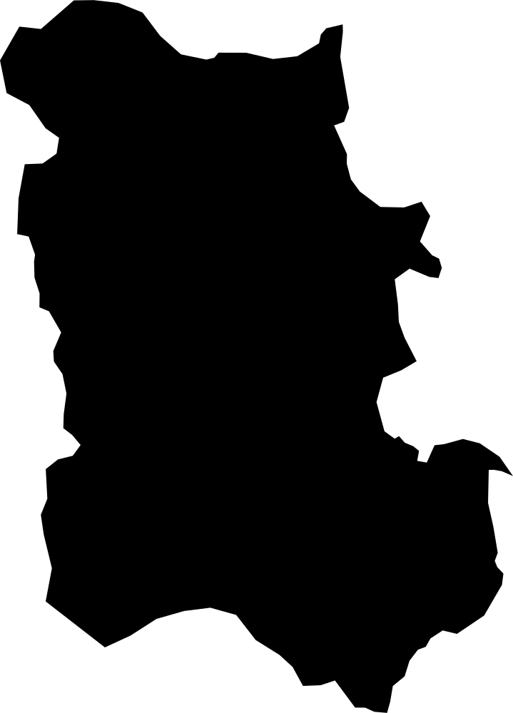 Geography
Plovdiv, Bulgaria
5,566.3 km² Area (map outline)
Explore · approximate map area
Province in Bulgaria
Area calculated from the Natural Earth 5.1.1 generalized map outline using a local equal-area projection. The answer uses the same simplified outline shown, including islands and holes. This is a map comparison, not a precise surveyed or legal area.
Natural Earth 5.1.1 — Admin 1 states and provinces ↗Artwork: Natural Earth 5.1.1; projected and simplified by scripts/import-geography.py · Public domain
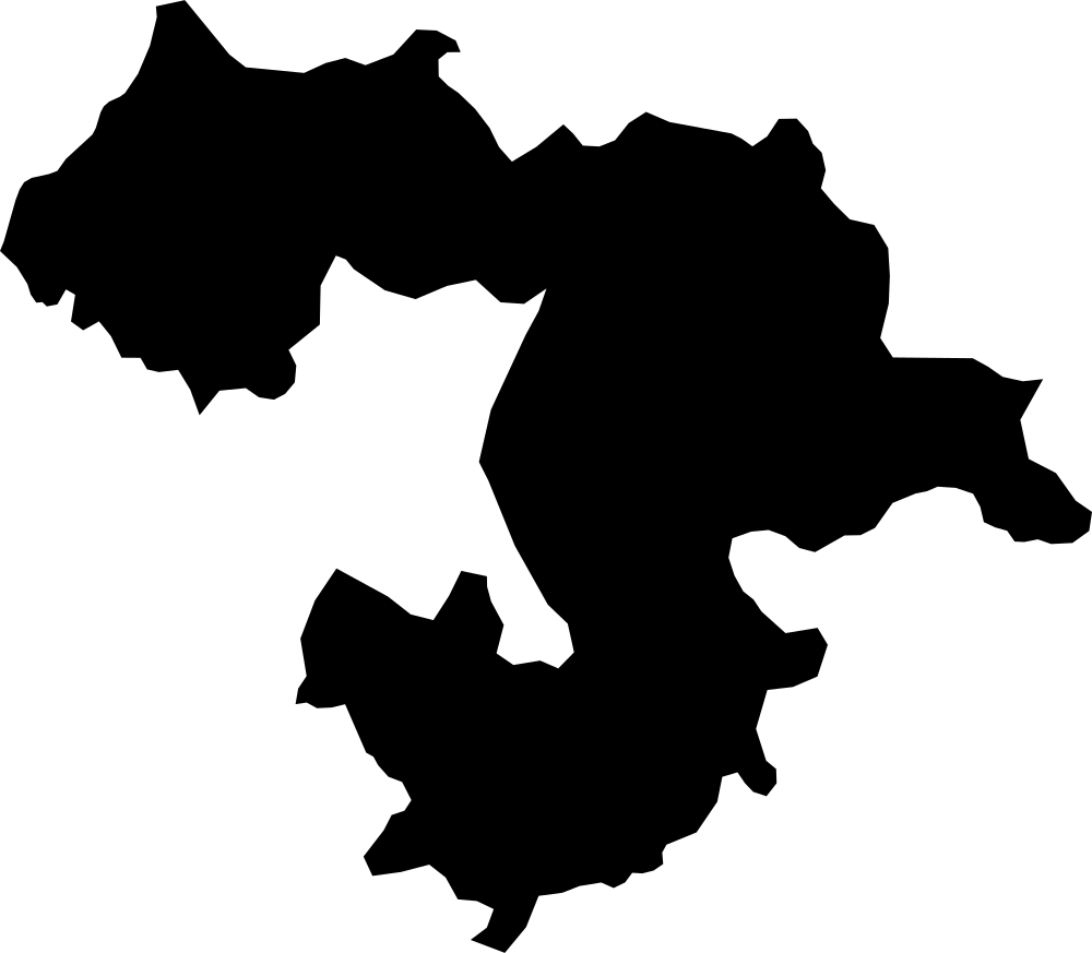 Geography
Sofia, Bulgaria
7,107 km² Area (map outline)
Explore · approximate map area
Province in Bulgaria
Area calculated from the Natural Earth 5.1.1 generalized map outline using a local equal-area projection. The answer uses the same simplified outline shown, including islands and holes. This is a map comparison, not a precise surveyed or legal area.
Natural Earth 5.1.1 — Admin 1 states and provinces ↗Artwork: Natural Earth 5.1.1; projected and simplified by scripts/import-geography.py · Public domain
 Geography
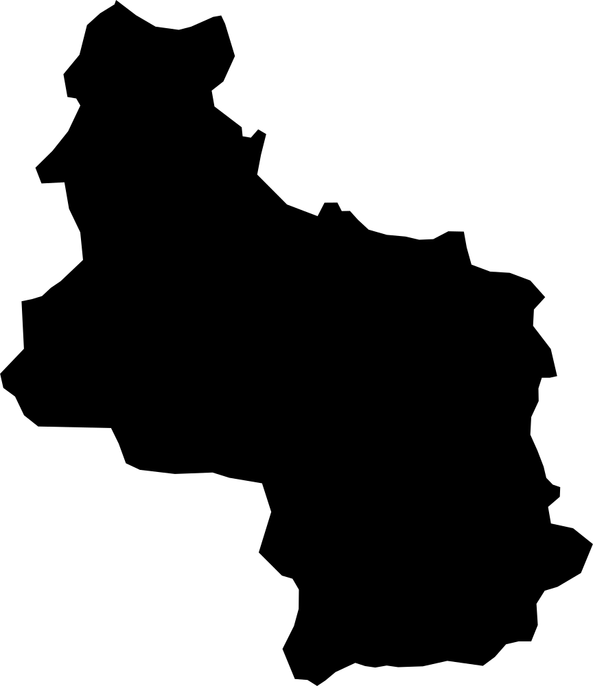
Veliko Tarnovo, Bulgaria
4,738.9 km² Area (map outline)
Explore · approximate map area
Province in Bulgaria
Area calculated from the Natural Earth 5.1.1 generalized map outline using a local equal-area projection. The answer uses the same simplified outline shown, including islands and holes. This is a map comparison, not a precise surveyed or legal area.
Natural Earth 5.1.1 — Admin 1 states and provinces ↗Artwork: Natural Earth 5.1.1; projected and simplified by scripts/import-geography.py · Public domain
 Geography
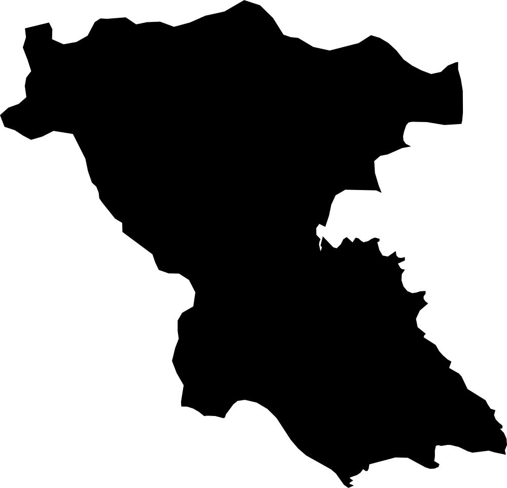
Burgas, Bulgaria
7,648.7 km² Area (map outline)
Explore · approximate map area
Province in Bulgaria
Area calculated from the Natural Earth 5.1.1 generalized map outline using a local equal-area projection. The answer uses the same simplified outline shown, including islands and holes. This is a map comparison, not a precise surveyed or legal area.
Natural Earth 5.1.1 — Admin 1 states and provinces ↗Artwork: Natural Earth 5.1.1; projected and simplified by scripts/import-geography.py · Public domain
 Geography
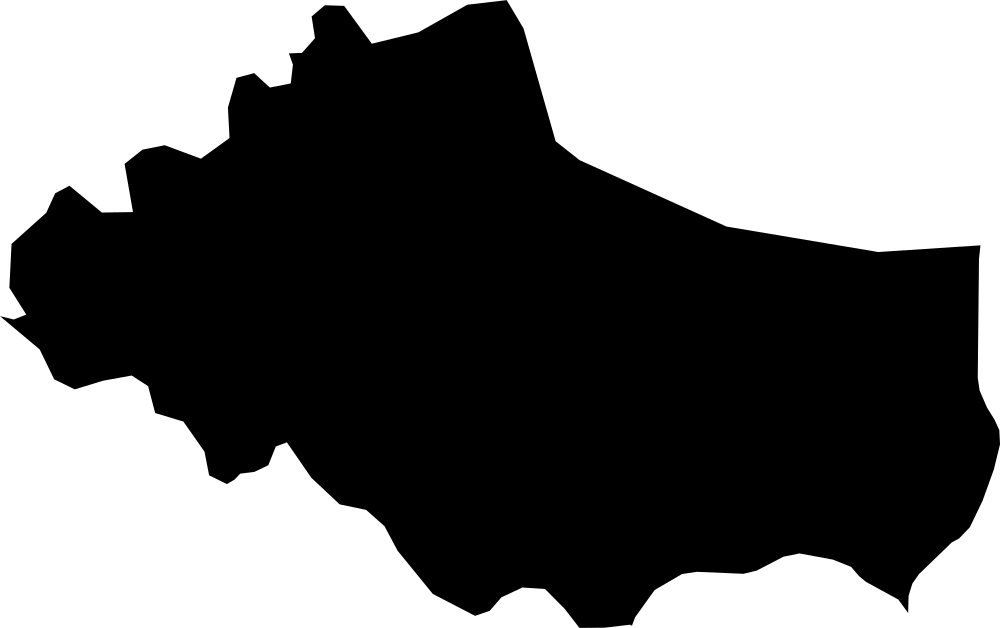
Dobrich, Bulgaria
4,658.8 km² Area (map outline)
Explore · approximate map area
Province in Bulgaria
Area calculated from the Natural Earth 5.1.1 generalized map outline using a local equal-area projection. The answer uses the same simplified outline shown, including islands and holes. This is a map comparison, not a precise surveyed or legal area.
Natural Earth 5.1.1 — Admin 1 states and provinces ↗Artwork: Natural Earth 5.1.1; projected and simplified by scripts/import-geography.py · Public domain
 Geography
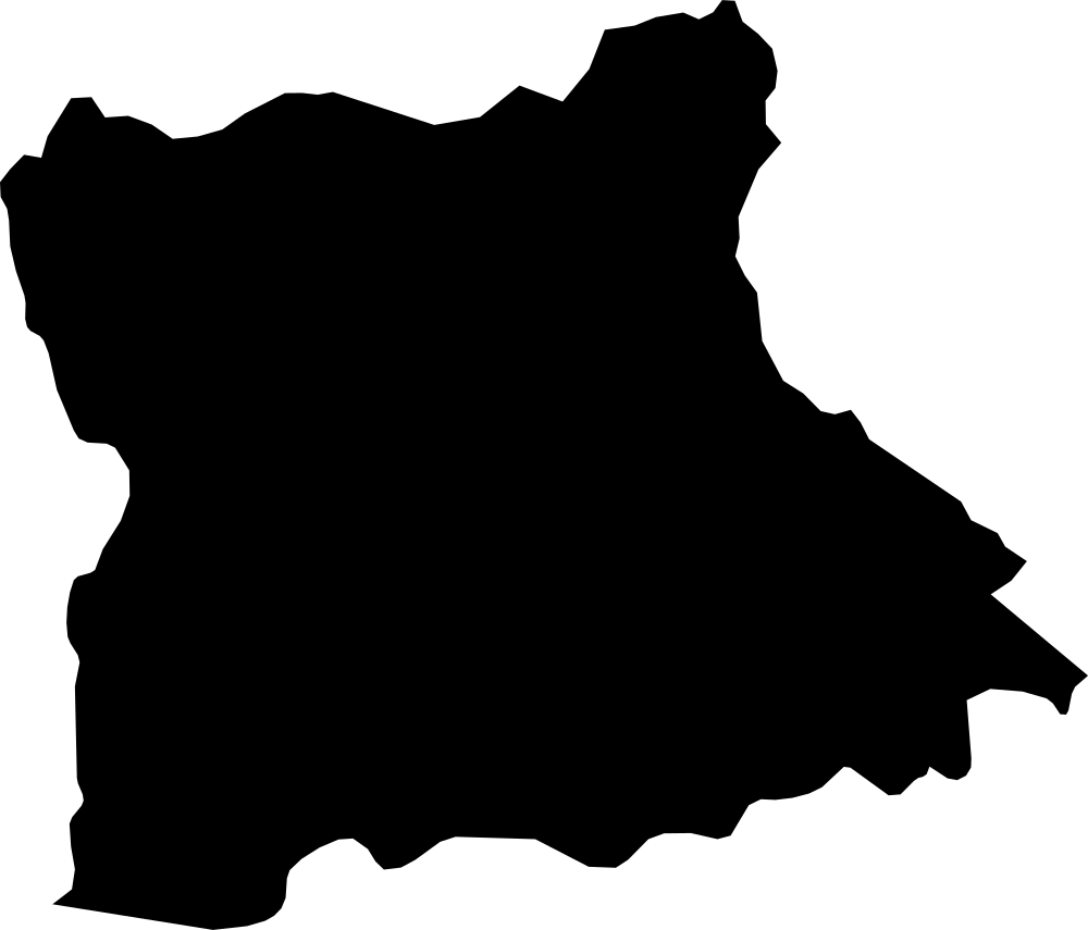
Blagoevgrad, Bulgaria
6,705.1 km² Area (map outline)
Explore · approximate map area
Province in Bulgaria
Area calculated from the Natural Earth 5.1.1 generalized map outline using a local equal-area projection. The answer uses the same simplified outline shown, including islands and holes. This is a map comparison, not a precise surveyed or legal area.
Natural Earth 5.1.1 — Admin 1 states and provinces ↗Artwork: Natural Earth 5.1.1; projected and simplified by scripts/import-geography.py · Public domain
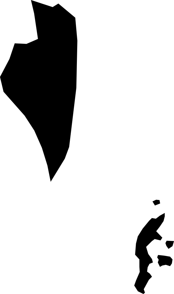 Geography
Southern, Bahrain
395.2 km² Area (map outline)
Explore · approximate map area
Governorate in Bahrain
Area calculated from the Natural Earth 5.1.1 generalized map outline using a local equal-area projection. The answer uses the same simplified outline shown, including islands and holes. This is a map comparison, not a precise surveyed or legal area.
Natural Earth 5.1.1 — Admin 1 states and provinces ↗Artwork: Natural Earth 5.1.1; projected and simplified by scripts/import-geography.py · Public domain
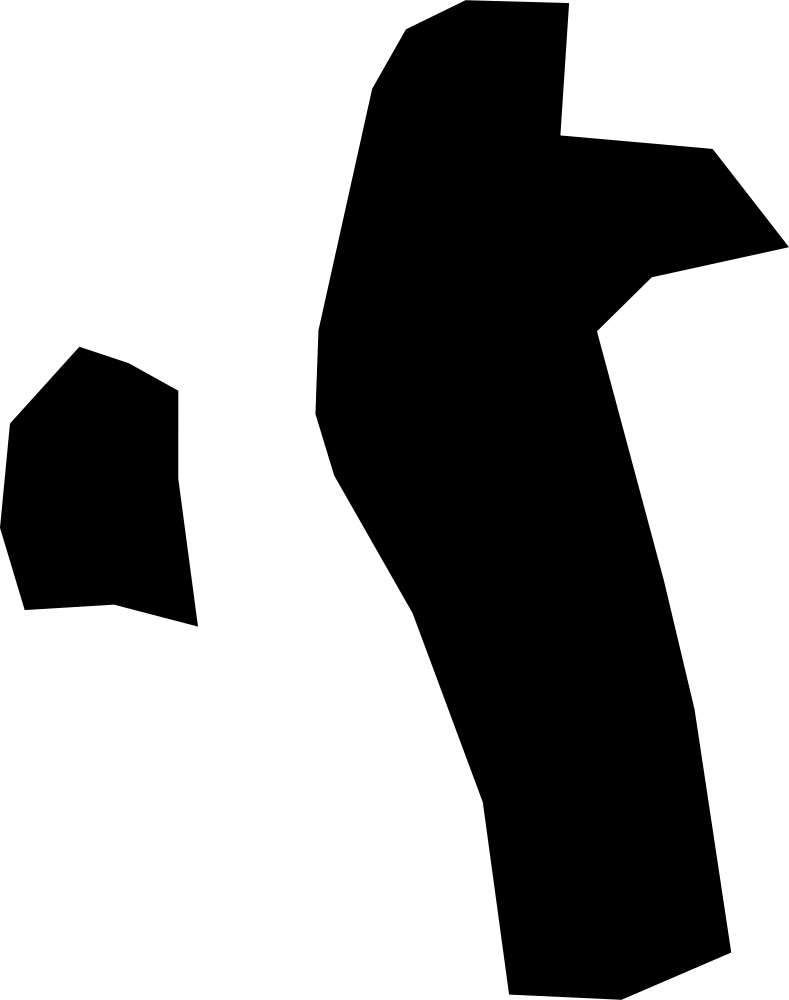 Geography
Northern, Bahrain
143.5 km² Area (map outline)
Explore · approximate map area
Governorate in Bahrain
Area calculated from the Natural Earth 5.1.1 generalized map outline using a local equal-area projection. The answer uses the same simplified outline shown, including islands and holes. This is a map comparison, not a precise surveyed or legal area.
Natural Earth 5.1.1 — Admin 1 states and provinces ↗Artwork: Natural Earth 5.1.1; projected and simplified by scripts/import-geography.py · Public domain
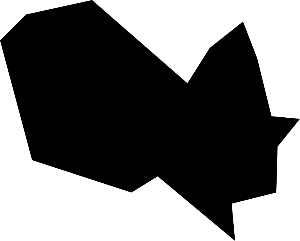 Geography
Central, Bahrain
81.9 km² Area (map outline)
Explore · approximate map area
Governorate in Bahrain
Area calculated from the Natural Earth 5.1.1 generalized map outline using a local equal-area projection. The answer uses the same simplified outline shown, including islands and holes. This is a map comparison, not a precise surveyed or legal area.
Natural Earth 5.1.1 — Admin 1 states and provinces ↗Artwork: Natural Earth 5.1.1; projected and simplified by scripts/import-geography.py · Public domain
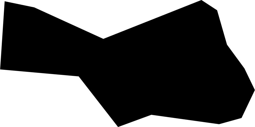 Geography
Capital, Bahrain
35.4 km² Area (map outline)
Explore · approximate map area
Governorate in Bahrain
Area calculated from the Natural Earth 5.1.1 generalized map outline using a local equal-area projection. The answer uses the same simplified outline shown, including islands and holes. This is a map comparison, not a precise surveyed or legal area.
Natural Earth 5.1.1 — Admin 1 states and provinces ↗Artwork: Natural Earth 5.1.1; projected and simplified by scripts/import-geography.py · Public domain
 Geography
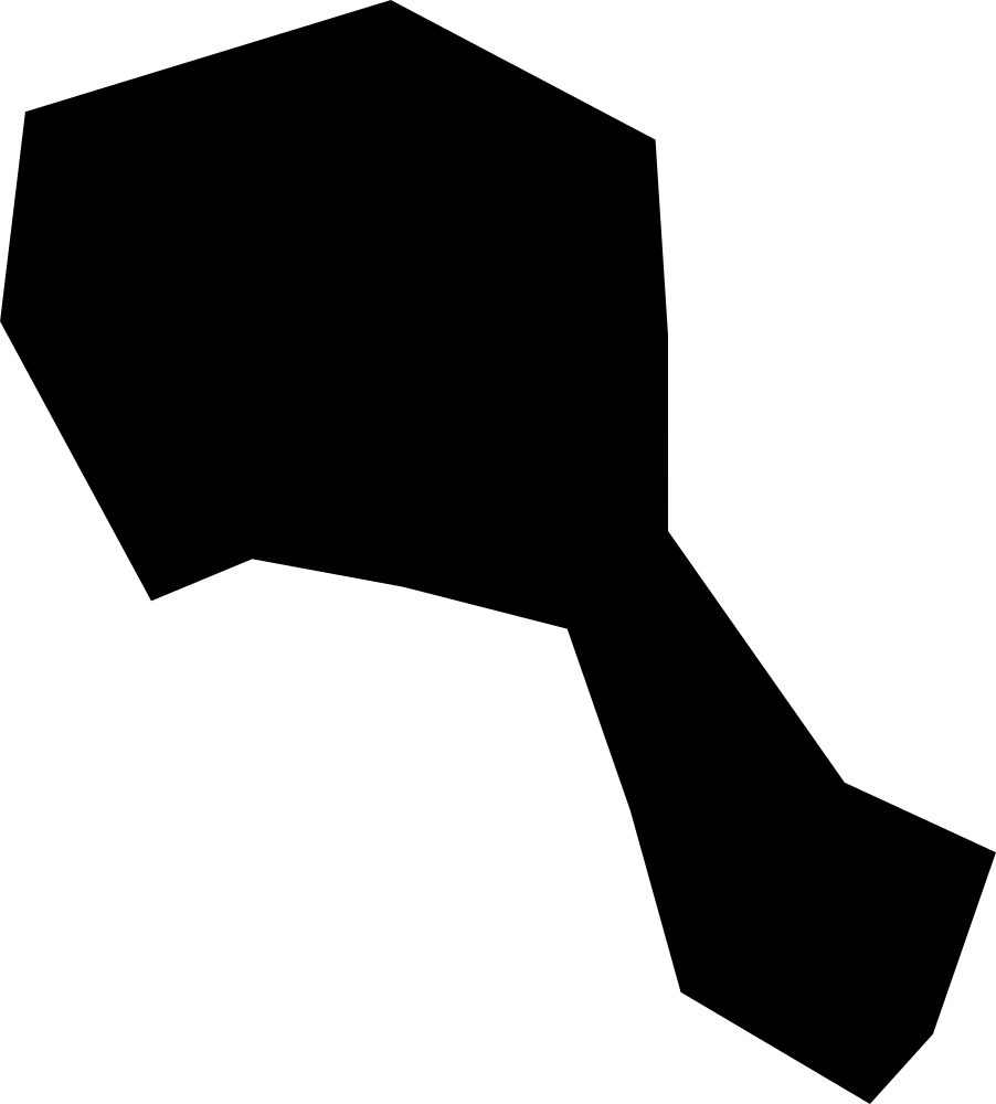
Muharraq, Bahrain
32.1 km² Area (map outline)
Explore · approximate map area
Governorate in Bahrain
Area calculated from the Natural Earth 5.1.1 generalized map outline using a local equal-area projection. The answer uses the same simplified outline shown, including islands and holes. This is a map comparison, not a precise surveyed or legal area.
Natural Earth 5.1.1 — Admin 1 states and provinces ↗Artwork: Natural Earth 5.1.1; projected and simplified by scripts/import-geography.py · Public domain
 Geography
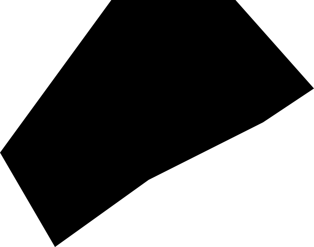
Freeport, The Bahamas
14.4 km² Area (map outline)
Explore · approximate map area
District in The Bahamas
Area calculated from the Natural Earth 5.1.1 generalized map outline using a local equal-area projection. The answer uses the same simplified outline shown, including islands and holes. This is a map comparison, not a precise surveyed or legal area.
Natural Earth 5.1.1 — Admin 1 states and provinces ↗Artwork: Natural Earth 5.1.1; projected and simplified by scripts/import-geography.py · Public domain
 Geography
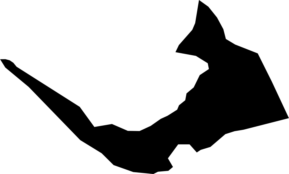
West Grand Bahama, The Bahamas
577.4 km² Area (map outline)
Explore · approximate map area
District in The Bahamas
Area calculated from the Natural Earth 5.1.1 generalized map outline using a local equal-area projection. The answer uses the same simplified outline shown, including islands and holes. This is a map comparison, not a precise surveyed or legal area.
Natural Earth 5.1.1 — Admin 1 states and provinces ↗Artwork: Natural Earth 5.1.1; projected and simplified by scripts/import-geography.py · Public domain
 Geography
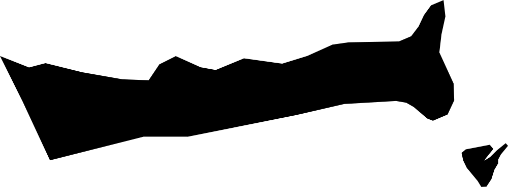
East Grand Bahama, The Bahamas
485.2 km² Area (map outline)
Explore · approximate map area
District in The Bahamas
Area calculated from the Natural Earth 5.1.1 generalized map outline using a local equal-area projection. The answer uses the same simplified outline shown, including islands and holes. This is a map comparison, not a precise surveyed or legal area.
Natural Earth 5.1.1 — Admin 1 states and provinces ↗Artwork: Natural Earth 5.1.1; projected and simplified by scripts/import-geography.py · Public domain
 Geography
Berry Islands, The Bahamas
25.8 km² Area (map outline)
Explore · approximate map area
District in The Bahamas
Area calculated from the Natural Earth 5.1.1 generalized map outline using a local equal-area projection. The answer uses the same simplified outline shown, including islands and holes. This is a map comparison, not a precise surveyed or legal area.
Natural Earth 5.1.1 — Admin 1 states and provinces ↗Artwork: Natural Earth 5.1.1; projected and simplified by scripts/import-geography.py · Public domain
 Geography
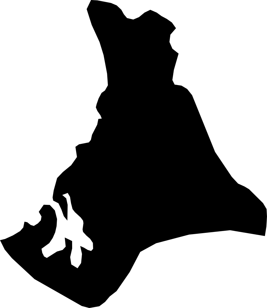
North Andros, The Bahamas
2,475 km² Area (map outline)
Explore · approximate map area
District in The Bahamas
Area calculated from the Natural Earth 5.1.1 generalized map outline using a local equal-area projection. The answer uses the same simplified outline shown, including islands and holes. This is a map comparison, not a precise surveyed or legal area.
Natural Earth 5.1.1 — Admin 1 states and provinces ↗Artwork: Natural Earth 5.1.1; projected and simplified by scripts/import-geography.py · Public domain
 Geography
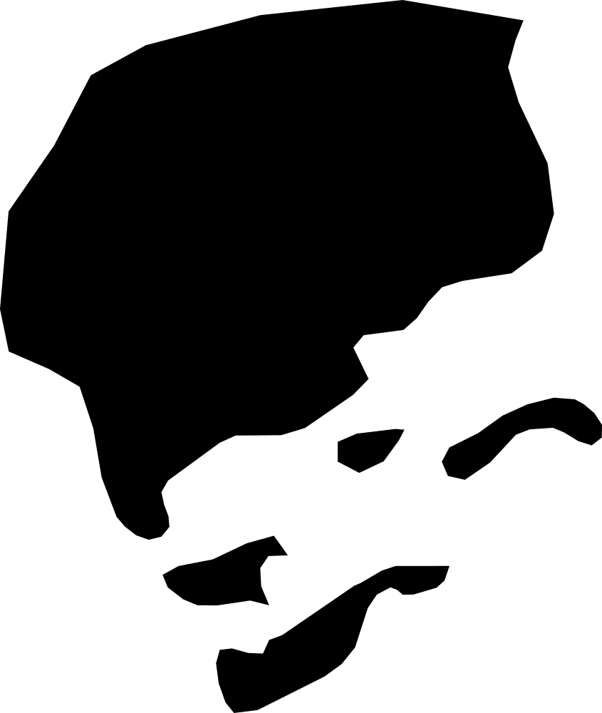
Central Andros, The Bahamas
1,235.3 km² Area (map outline)
Explore · approximate map area
District in The Bahamas
Area calculated from the Natural Earth 5.1.1 generalized map outline using a local equal-area projection. The answer uses the same simplified outline shown, including islands and holes. This is a map comparison, not a precise surveyed or legal area.
Natural Earth 5.1.1 — Admin 1 states and provinces ↗Artwork: Natural Earth 5.1.1; projected and simplified by scripts/import-geography.py · Public domain
 Geography
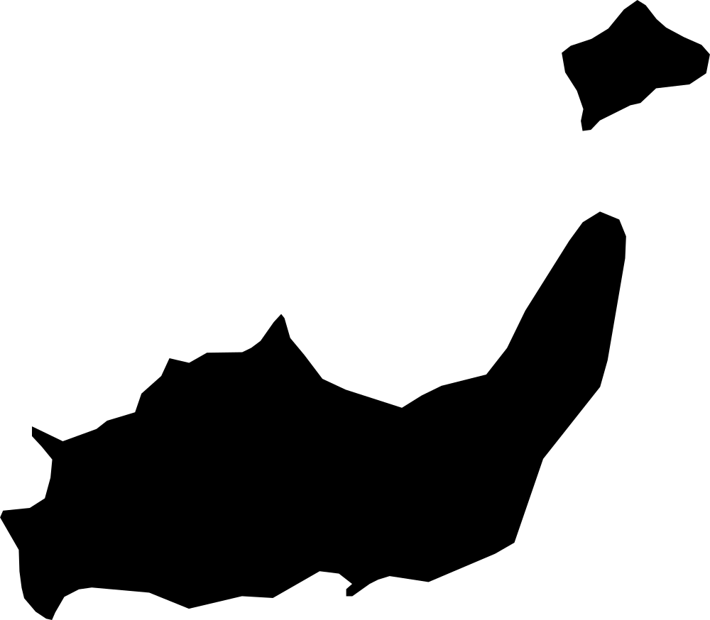
Inagua, The Bahamas
1,715.4 km² Area (map outline)
Explore · approximate map area
District in The Bahamas
Area calculated from the Natural Earth 5.1.1 generalized map outline using a local equal-area projection. The answer uses the same simplified outline shown, including islands and holes. This is a map comparison, not a precise surveyed or legal area.
Natural Earth 5.1.1 — Admin 1 states and provinces ↗Artwork: Natural Earth 5.1.1; projected and simplified by scripts/import-geography.py · Public domain
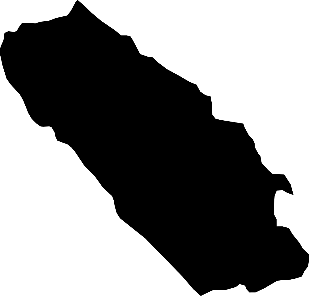 Geography
Livno, Bosnia and Herzegovina
5,262.1 km² Area (map outline)
Explore · approximate map area
Canton in Bosnia and Herzegovina
Area calculated from the Natural Earth 5.1.1 generalized map outline using a local equal-area projection. The answer uses the same simplified outline shown, including islands and holes. This is a map comparison, not a precise surveyed or legal area.
Natural Earth 5.1.1 — Admin 1 states and provinces ↗Artwork: Natural Earth 5.1.1; projected and simplified by scripts/import-geography.py · Public domain
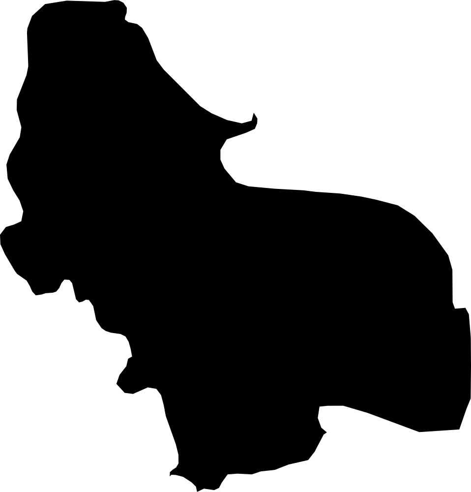 Geography
Una-Sana Canton, Bosnia and Herzegovina
4,832 km² Area (map outline)
Explore · approximate map area
Canton in Bosnia and Herzegovina
Area calculated from the Natural Earth 5.1.1 generalized map outline using a local equal-area projection. The answer uses the same simplified outline shown, including islands and holes. This is a map comparison, not a precise surveyed or legal area.
Natural Earth 5.1.1 — Admin 1 states and provinces ↗Artwork: Natural Earth 5.1.1; projected and simplified by scripts/import-geography.py · Public domain
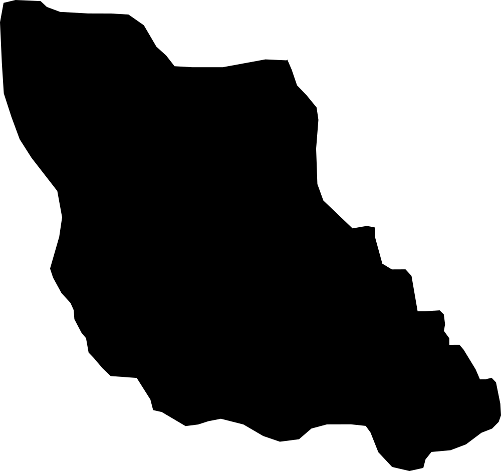 Geography
Central Bosnia Canton, Bosnia and Herzegovina
3,417 km² Area (map outline)
Explore · approximate map area
Canton in Bosnia and Herzegovina
Area calculated from the Natural Earth 5.1.1 generalized map outline using a local equal-area projection. The answer uses the same simplified outline shown, including islands and holes. This is a map comparison, not a precise surveyed or legal area.
Natural Earth 5.1.1 — Admin 1 states and provinces ↗Artwork: Natural Earth 5.1.1; projected and simplified by scripts/import-geography.py · Public domain
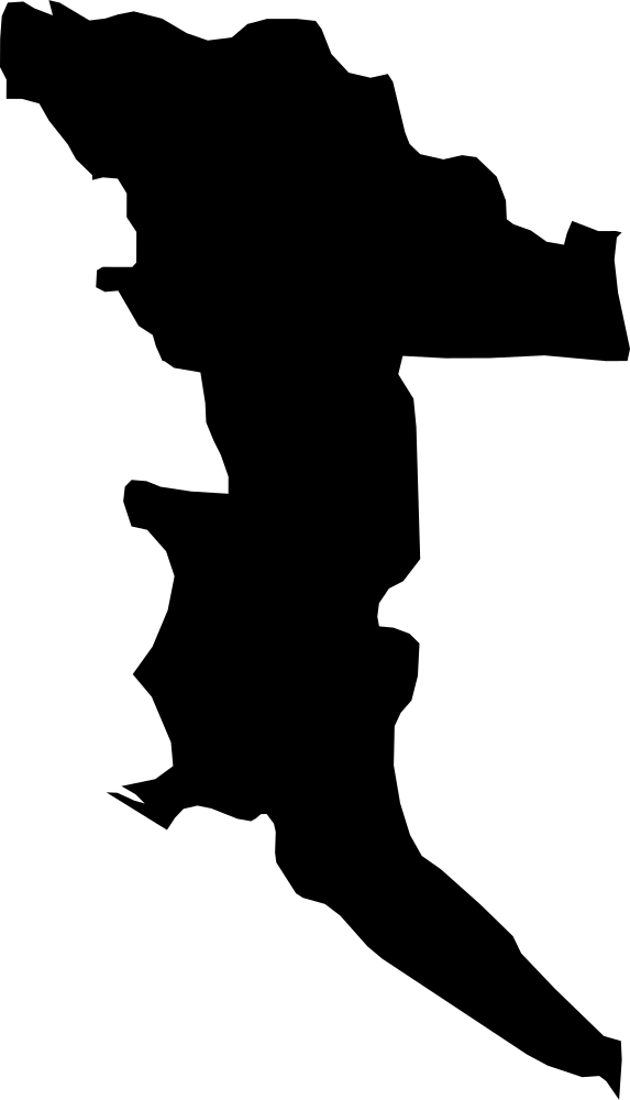 Geography
Herzegovina-Neretva Canton, Bosnia and Herzegovina
4,771.2 km² Area (map outline)
Explore · approximate map area
Canton in Bosnia and Herzegovina
Area calculated from the Natural Earth 5.1.1 generalized map outline using a local equal-area projection. The answer uses the same simplified outline shown, including islands and holes. This is a map comparison, not a precise surveyed or legal area.
Natural Earth 5.1.1 — Admin 1 states and provinces ↗Artwork: Natural Earth 5.1.1; projected and simplified by scripts/import-geography.py · Public domain
 Geography
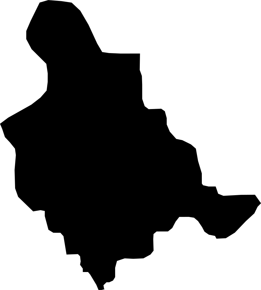
Zenica-Doboj Canton, Bosnia and Herzegovina
3,424.7 km² Area (map outline)
Explore · approximate map area
Canton in Bosnia and Herzegovina
Area calculated from the Natural Earth 5.1.1 generalized map outline using a local equal-area projection. The answer uses the same simplified outline shown, including islands and holes. This is a map comparison, not a precise surveyed or legal area.
Natural Earth 5.1.1 — Admin 1 states and provinces ↗Artwork: Natural Earth 5.1.1; projected and simplified by scripts/import-geography.py · Public domain
 Geography
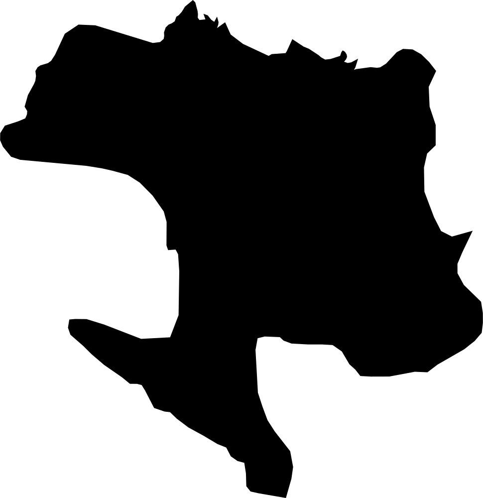
Banja Luka, Bosnia and Herzegovina
8,887.4 km² Area (map outline)
Explore · approximate map area
Region in Bosnia and Herzegovina
Area calculated from the Natural Earth 5.1.1 generalized map outline using a local equal-area projection. The answer uses the same simplified outline shown, including islands and holes. This is a map comparison, not a precise surveyed or legal area.
Natural Earth 5.1.1 — Admin 1 states and provinces ↗Artwork: Natural Earth 5.1.1; projected and simplified by scripts/import-geography.py · Public domain
 Geography
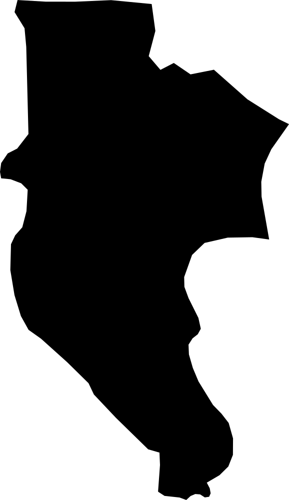
Trebinje, Bosnia and Herzegovina
3,198.3 km² Area (map outline)
Explore · approximate map area
Region in Bosnia and Herzegovina
Area calculated from the Natural Earth 5.1.1 generalized map outline using a local equal-area projection. The answer uses the same simplified outline shown, including islands and holes. This is a map comparison, not a precise surveyed or legal area.
Natural Earth 5.1.1 — Admin 1 states and provinces ↗Artwork: Natural Earth 5.1.1; projected and simplified by scripts/import-geography.py · Public domain
 Geography
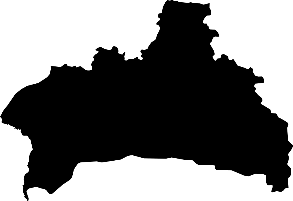
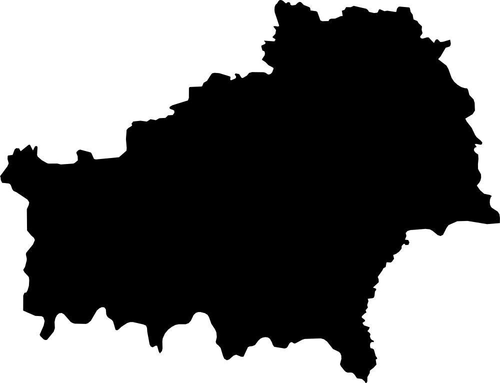
Brest, Belarus
32,942.8 km² Area (map outline)
Explore · approximate map area
Region in Belarus
Area calculated from the Natural Earth 5.1.1 generalized map outline using a local equal-area projection. The answer uses the same simplified outline shown, including islands and holes. This is a map comparison, not a precise surveyed or legal area.
Natural Earth 5.1.1 — Admin 1 states and provinces ↗Artwork: Natural Earth 5.1.1; projected and simplified by scripts/import-geography.py · Public domain
 Geography
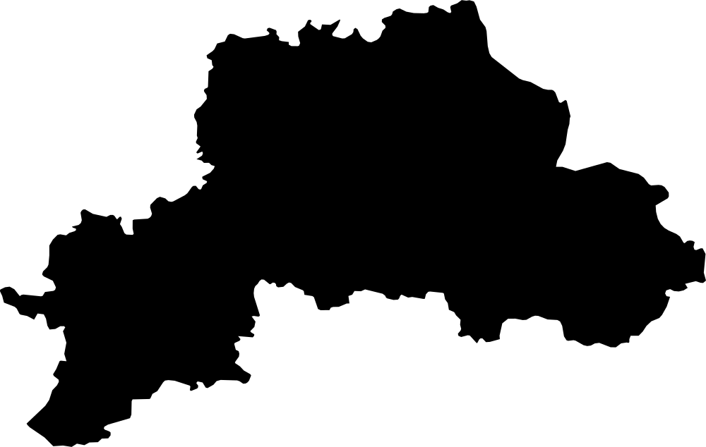
Gomel, Belarus
40,674.6 km² Area (map outline)
Explore · approximate map area
Region in Belarus
Area calculated from the Natural Earth 5.1.1 generalized map outline using a local equal-area projection. The answer uses the same simplified outline shown, including islands and holes. This is a map comparison, not a precise surveyed or legal area.
Natural Earth 5.1.1 — Admin 1 states and provinces ↗Artwork: Natural Earth 5.1.1; projected and simplified by scripts/import-geography.py · Public domain
 Geography
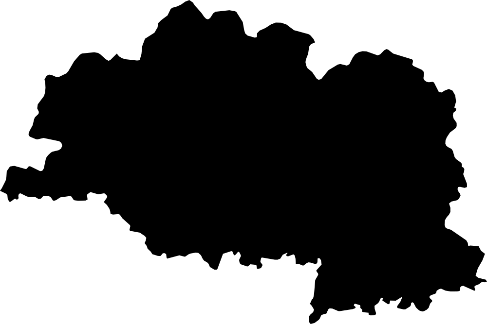
Mahilioŭ, Belarus
28,732 km² Area (map outline)
Explore · approximate map area
Region in Belarus
Area calculated from the Natural Earth 5.1.1 generalized map outline using a local equal-area projection. The answer uses the same simplified outline shown, including islands and holes. This is a map comparison, not a precise surveyed or legal area.
Natural Earth 5.1.1 — Admin 1 states and provinces ↗Artwork: Natural Earth 5.1.1; projected and simplified by scripts/import-geography.py · Public domain
 Geography
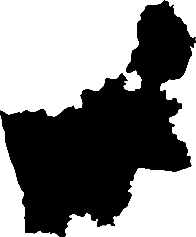
Vitebsk, Belarus
39,913.3 km² Area (map outline)
Explore · approximate map area
Region in Belarus
Area calculated from the Natural Earth 5.1.1 generalized map outline using a local equal-area projection. The answer uses the same simplified outline shown, including islands and holes. This is a map comparison, not a precise surveyed or legal area.
Natural Earth 5.1.1 — Admin 1 states and provinces ↗Artwork: Natural Earth 5.1.1; projected and simplified by scripts/import-geography.py · Public domain
 Geography
Grodno, Belarus
25,175.1 km² Area (map outline)
Explore · approximate map area
Region in Belarus
Area calculated from the Natural Earth 5.1.1 generalized map outline using a local equal-area projection. The answer uses the same simplified outline shown, including islands and holes. This is a map comparison, not a precise surveyed or legal area.
Natural Earth 5.1.1 — Admin 1 states and provinces ↗Artwork: Natural Earth 5.1.1; projected and simplified by scripts/import-geography.py · Public domain
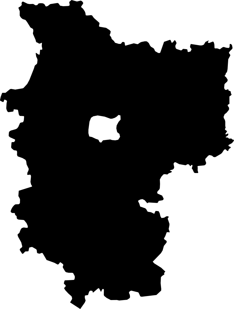 Geography
Minsk, Belarus
39,455.5 km² Area (map outline)
Explore · approximate map area
Municipality in Belarus
Area calculated from the Natural Earth 5.1.1 generalized map outline using a local equal-area projection. The answer uses the same simplified outline shown, including islands and holes. This is a map comparison, not a precise surveyed or legal area.
Natural Earth 5.1.1 — Admin 1 states and provinces ↗Artwork: Natural Earth 5.1.1; projected and simplified by scripts/import-geography.py · Public domain
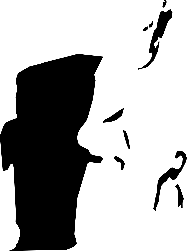 Geography
Belize, Belize
3,553.1 km² Area (map outline)
Explore · approximate map area
District in Belize
Area calculated from the Natural Earth 5.1.1 generalized map outline using a local equal-area projection. The answer uses the same simplified outline shown, including islands and holes. This is a map comparison, not a precise surveyed or legal area.
Natural Earth 5.1.1 — Admin 1 states and provinces ↗Artwork: Natural Earth 5.1.1; projected and simplified by scripts/import-geography.py · Public domain
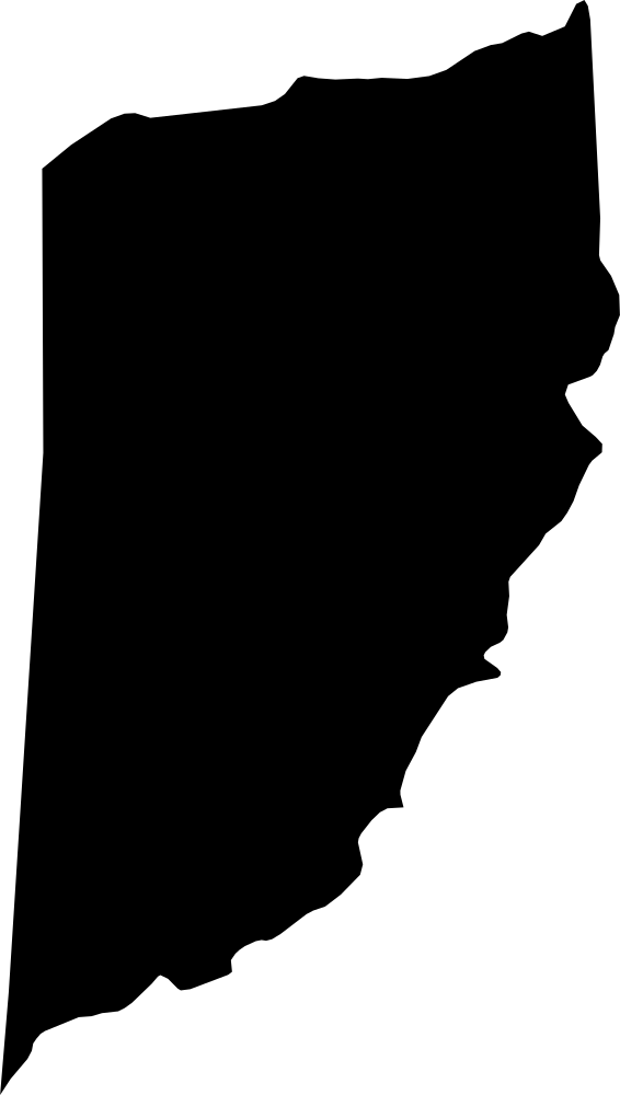 Geography
Cayo, Belize
5,249.7 km² Area (map outline)
Explore · approximate map area
District in Belize
Area calculated from the Natural Earth 5.1.1 generalized map outline using a local equal-area projection. The answer uses the same simplified outline shown, including islands and holes. This is a map comparison, not a precise surveyed or legal area.
Natural Earth 5.1.1 — Admin 1 states and provinces ↗Artwork: Natural Earth 5.1.1; projected and simplified by scripts/import-geography.py · Public domain
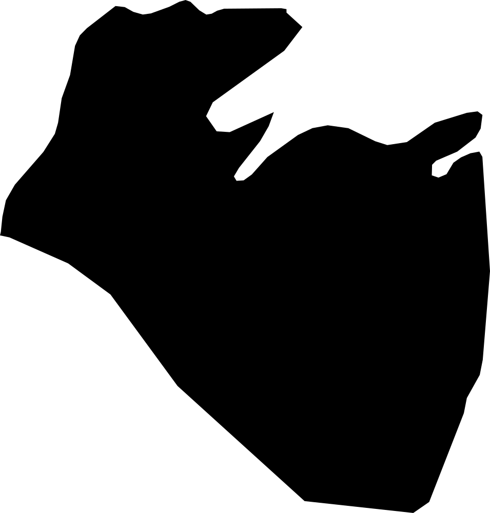 Geography
Corozal, Belize
1,973.7 km² Area (map outline)
Explore · approximate map area
District in Belize
Area calculated from the Natural Earth 5.1.1 generalized map outline using a local equal-area projection. The answer uses the same simplified outline shown, including islands and holes. This is a map comparison, not a precise surveyed or legal area.
Natural Earth 5.1.1 — Admin 1 states and provinces ↗Artwork: Natural Earth 5.1.1; projected and simplified by scripts/import-geography.py · Public domain
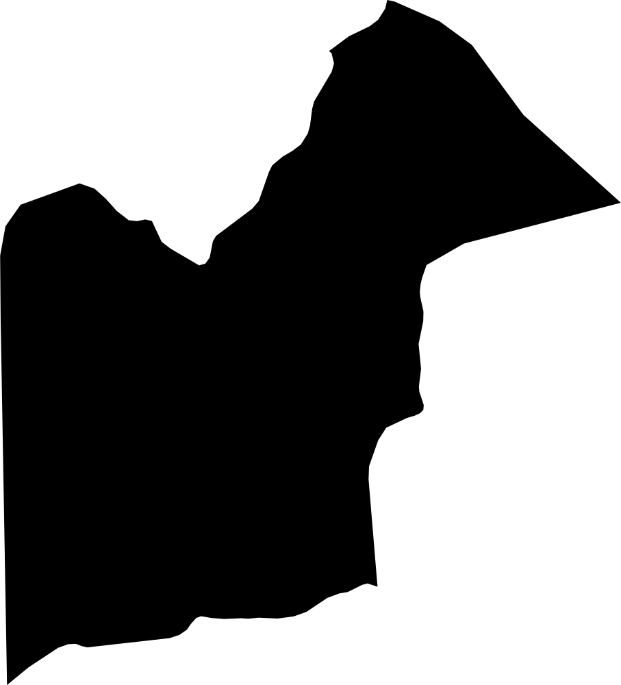 Geography
Orange Walk, Belize
4,713.9 km² Area (map outline)
Explore · approximate map area
District in Belize
Area calculated from the Natural Earth 5.1.1 generalized map outline using a local equal-area projection. The answer uses the same simplified outline shown, including islands and holes. This is a map comparison, not a precise surveyed or legal area.
Natural Earth 5.1.1 — Admin 1 states and provinces ↗Artwork: Natural Earth 5.1.1; projected and simplified by scripts/import-geography.py · Public domain
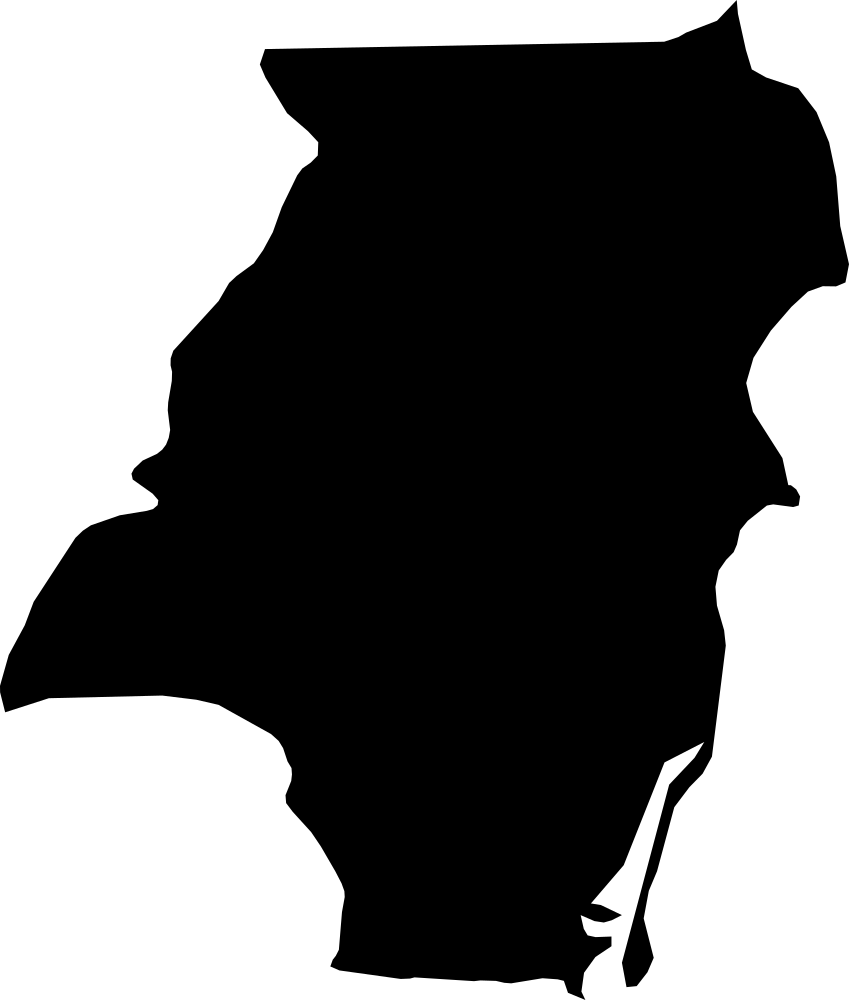 Geography
Stann Creek, Belize
2,458.6 km² Area (map outline)
Explore · approximate map area
District in Belize
Area calculated from the Natural Earth 5.1.1 generalized map outline using a local equal-area projection. The answer uses the same simplified outline shown, including islands and holes. This is a map comparison, not a precise surveyed or legal area.
Natural Earth 5.1.1 — Admin 1 states and provinces ↗Artwork: Natural Earth 5.1.1; projected and simplified by scripts/import-geography.py · Public domain
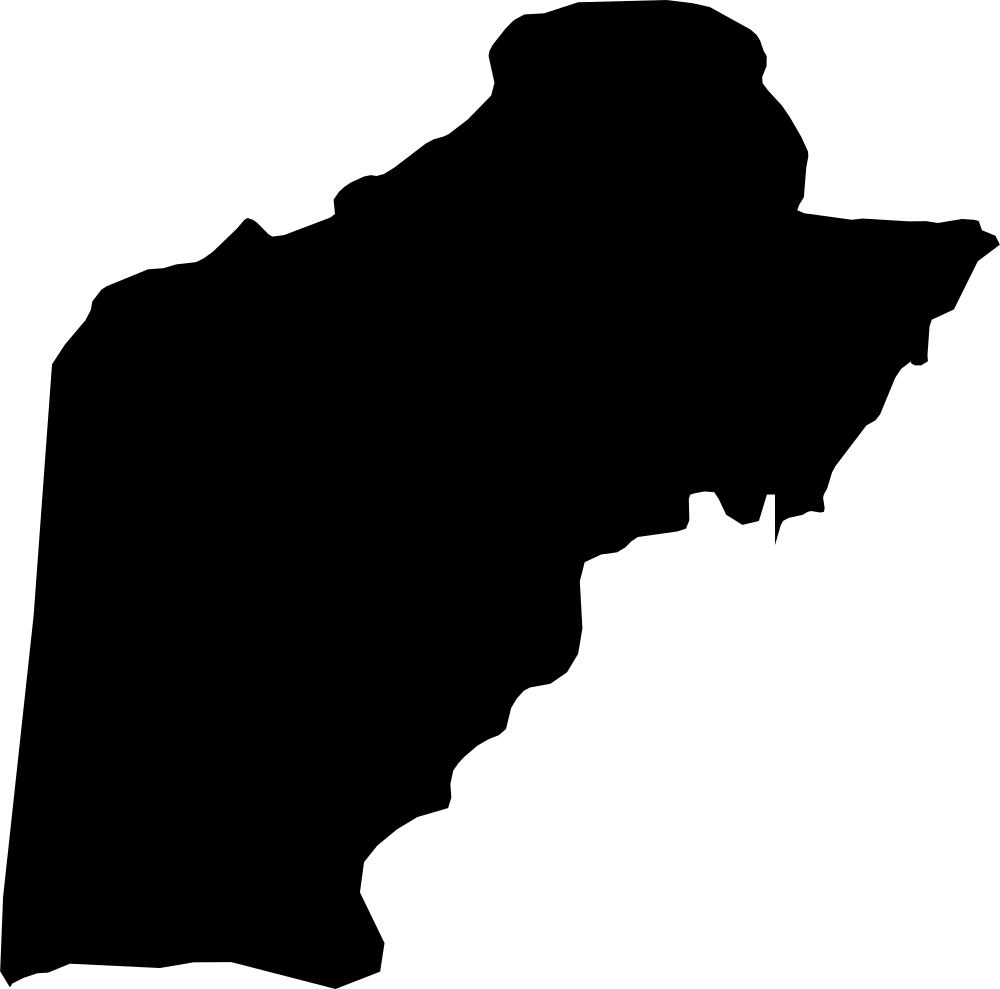 Geography
Toledo, Belize
4,350.2 km² Area (map outline)
Explore · approximate map area
District in Belize
Area calculated from the Natural Earth 5.1.1 generalized map outline using a local equal-area projection. The answer uses the same simplified outline shown, including islands and holes. This is a map comparison, not a precise surveyed or legal area.
Natural Earth 5.1.1 — Admin 1 states and provinces ↗Artwork: Natural Earth 5.1.1; projected and simplified by scripts/import-geography.py · Public domain
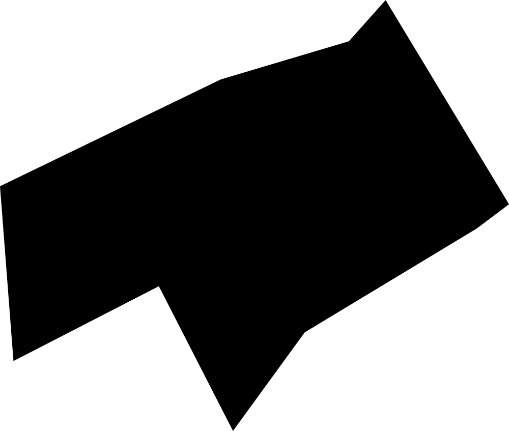 Geography
Devonshire, Bermuda
6.68 km² Area (map outline)
Explore · approximate map area
Administrative region in Bermuda
Area calculated from the Natural Earth 5.1.1 generalized map outline using a local equal-area projection. The answer uses the same simplified outline shown, including islands and holes. This is a map comparison, not a precise surveyed or legal area.
Natural Earth 5.1.1 — Admin 1 states and provinces ↗Artwork: Natural Earth 5.1.1; projected and simplified by scripts/import-geography.py · Public domain
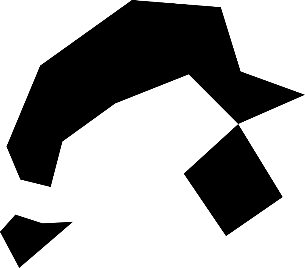 Geography
Hamilton, Bermuda
6.39 km² Area (map outline)
Explore · approximate map area
Administrative region in Bermuda
Area calculated from the Natural Earth 5.1.1 generalized map outline using a local equal-area projection. The answer uses the same simplified outline shown, including islands and holes. This is a map comparison, not a precise surveyed or legal area.
Natural Earth 5.1.1 — Admin 1 states and provinces ↗Artwork: Natural Earth 5.1.1; projected and simplified by scripts/import-geography.py · Public domain
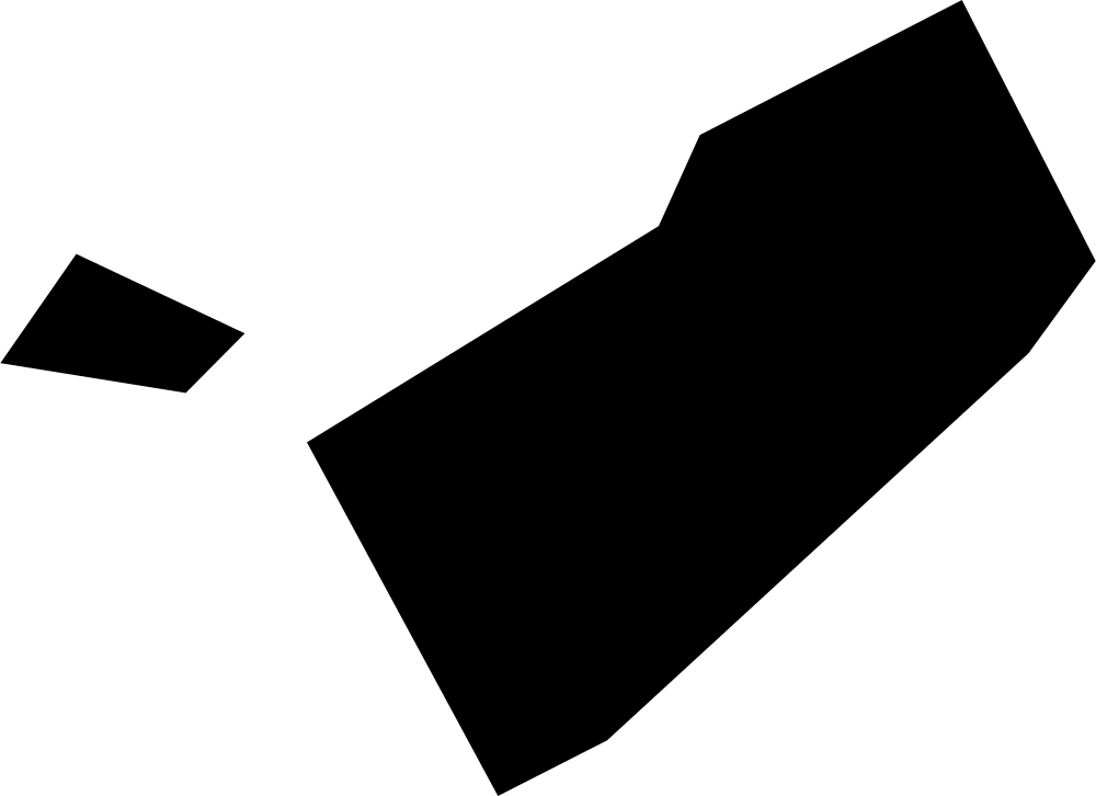 Geography
Paget Parish, Bermuda
5.85 km² Area (map outline)
Explore · approximate map area
Administrative region in Bermuda
Area calculated from the Natural Earth 5.1.1 generalized map outline using a local equal-area projection. The answer uses the same simplified outline shown, including islands and holes. This is a map comparison, not a precise surveyed or legal area.
Natural Earth 5.1.1 — Admin 1 states and provinces ↗Artwork: Natural Earth 5.1.1; projected and simplified by scripts/import-geography.py · Public domain
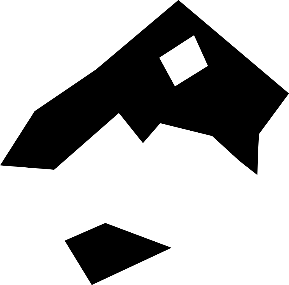 Geography
Saint George, Bermuda
14.5 km² Area (map outline)
Explore · approximate map area
Administrative region in Bermuda
Area calculated from the Natural Earth 5.1.1 generalized map outline using a local equal-area projection. The answer uses the same simplified outline shown, including islands and holes. This is a map comparison, not a precise surveyed or legal area.
Natural Earth 5.1.1 — Admin 1 states and provinces ↗Artwork: Natural Earth 5.1.1; projected and simplified by scripts/import-geography.py · Public domain
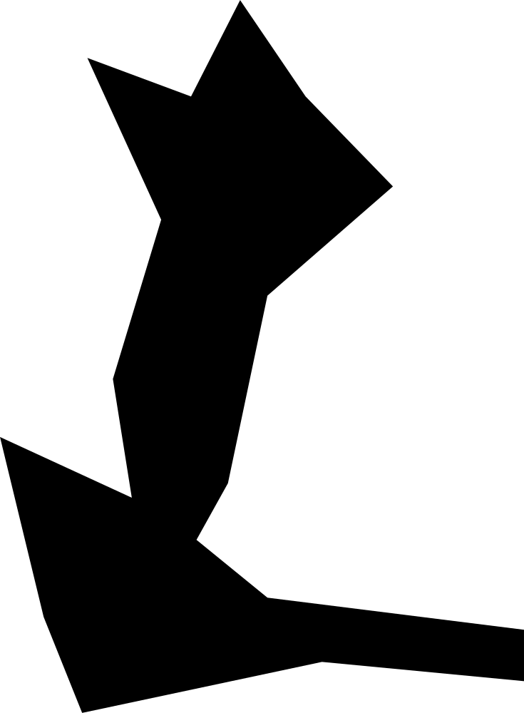 Geography
Sandys Parish, Bermuda
5.8 km² Area (map outline)
Explore · approximate map area
Administrative region in Bermuda
Area calculated from the Natural Earth 5.1.1 generalized map outline using a local equal-area projection. The answer uses the same simplified outline shown, including islands and holes. This is a map comparison, not a precise surveyed or legal area.
Natural Earth 5.1.1 — Admin 1 states and provinces ↗Artwork: Natural Earth 5.1.1; projected and simplified by scripts/import-geography.py · Public domain