Showing 721–768 of 1,741 records.
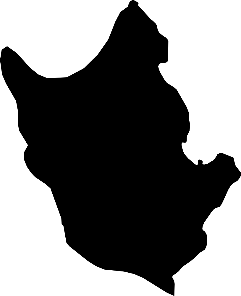 Geography
Paphos, Cyprus
1,365 km² Area (map outline)
Explore · approximate map area
District in Cyprus
Area calculated from the Natural Earth 5.1.1 generalized map outline using a local equal-area projection. The answer uses the same simplified outline shown, including islands and holes. This is a map comparison, not a precise surveyed or legal area.
Natural Earth 5.1.1 — Admin 1 states and provinces ↗Artwork: Natural Earth 5.1.1; projected and simplified by scripts/import-geography.py · Public domain
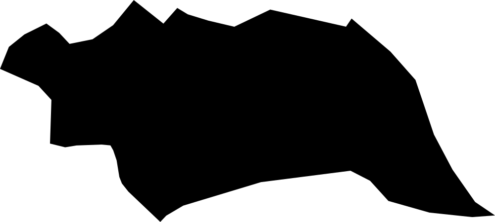 Geography
Famagusta, Cyprus
194.8 km² Area (map outline)
Explore · approximate map area
District in Cyprus
Area calculated from the Natural Earth 5.1.1 generalized map outline using a local equal-area projection. The answer uses the same simplified outline shown, including islands and holes. This is a map comparison, not a precise surveyed or legal area.
Natural Earth 5.1.1 — Admin 1 states and provinces ↗Artwork: Natural Earth 5.1.1; projected and simplified by scripts/import-geography.py · Public domain
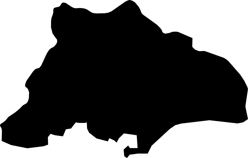 Geography
Limassol, Cyprus
1,272.3 km² Area (map outline)
Explore · approximate map area
District in Cyprus
Area calculated from the Natural Earth 5.1.1 generalized map outline using a local equal-area projection. The answer uses the same simplified outline shown, including islands and holes. This is a map comparison, not a precise surveyed or legal area.
Natural Earth 5.1.1 — Admin 1 states and provinces ↗Artwork: Natural Earth 5.1.1; projected and simplified by scripts/import-geography.py · Public domain
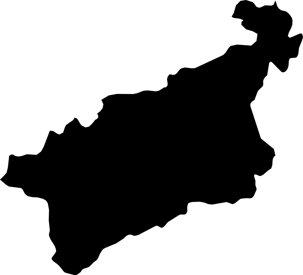 Geography
Ústí nad Labem, Czech Republic
5,316.8 km² Area (map outline)
Explore · approximate map area
Region in Czech Republic
Area calculated from the Natural Earth 5.1.1 generalized map outline using a local equal-area projection. The answer uses the same simplified outline shown, including islands and holes. This is a map comparison, not a precise surveyed or legal area.
Natural Earth 5.1.1 — Admin 1 states and provinces ↗Artwork: Natural Earth 5.1.1; projected and simplified by scripts/import-geography.py · Public domain
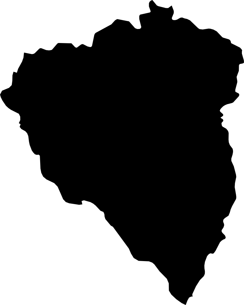 Geography
Plzeň-, Czech Republic
7,856 km² Area (map outline)
Explore · approximate map area
Region in Czech Republic
Area calculated from the Natural Earth 5.1.1 generalized map outline using a local equal-area projection. The answer uses the same simplified outline shown, including islands and holes. This is a map comparison, not a precise surveyed or legal area.
Natural Earth 5.1.1 — Admin 1 states and provinces ↗Artwork: Natural Earth 5.1.1; projected and simplified by scripts/import-geography.py · Public domain
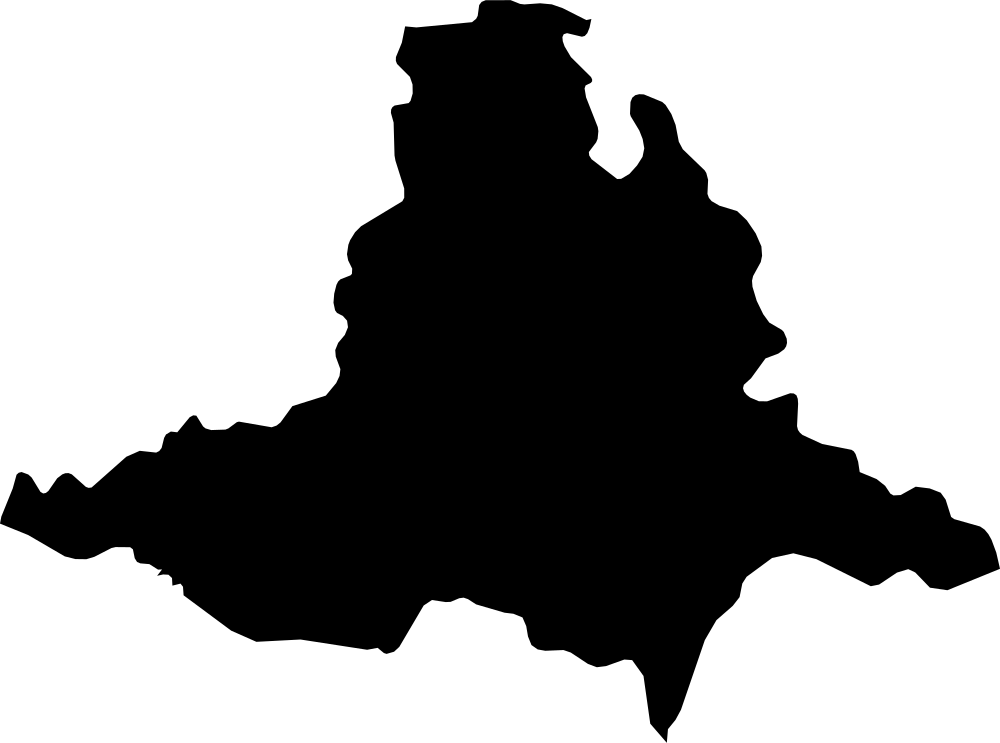 Geography
South Moravian, Czech Republic
7,091.4 km² Area (map outline)
Explore · approximate map area
Region in Czech Republic
Area calculated from the Natural Earth 5.1.1 generalized map outline using a local equal-area projection. The answer uses the same simplified outline shown, including islands and holes. This is a map comparison, not a precise surveyed or legal area.
Natural Earth 5.1.1 — Admin 1 states and provinces ↗Artwork: Natural Earth 5.1.1; projected and simplified by scripts/import-geography.py · Public domain
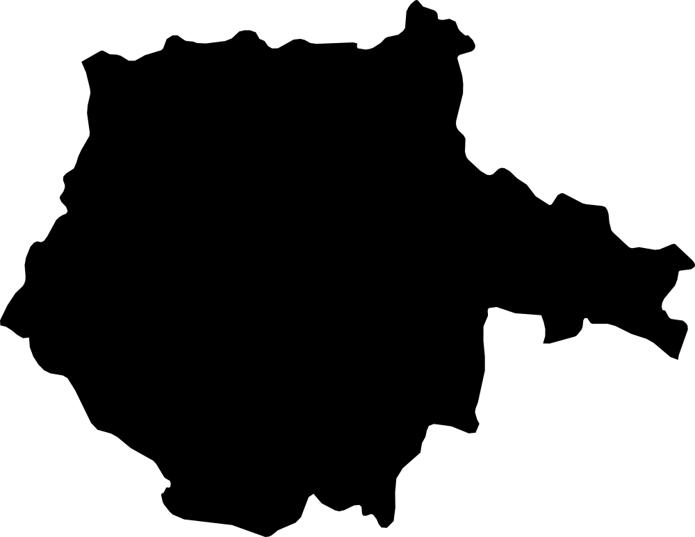 Geography
South Bohemian, Czech Republic
9,979.1 km² Area (map outline)
Explore · approximate map area
Region in Czech Republic
Area calculated from the Natural Earth 5.1.1 generalized map outline using a local equal-area projection. The answer uses the same simplified outline shown, including islands and holes. This is a map comparison, not a precise surveyed or legal area.
Natural Earth 5.1.1 — Admin 1 states and provinces ↗Artwork: Natural Earth 5.1.1; projected and simplified by scripts/import-geography.py · Public domain
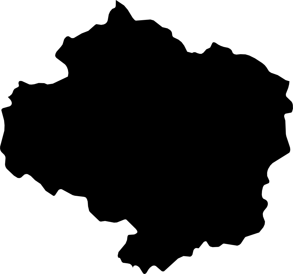 Geography
Vysočina, Czech Republic
6,957.8 km² Area (map outline)
Explore · approximate map area
Region in Czech Republic
Area calculated from the Natural Earth 5.1.1 generalized map outline using a local equal-area projection. The answer uses the same simplified outline shown, including islands and holes. This is a map comparison, not a precise surveyed or legal area.
Natural Earth 5.1.1 — Admin 1 states and provinces ↗Artwork: Natural Earth 5.1.1; projected and simplified by scripts/import-geography.py · Public domain
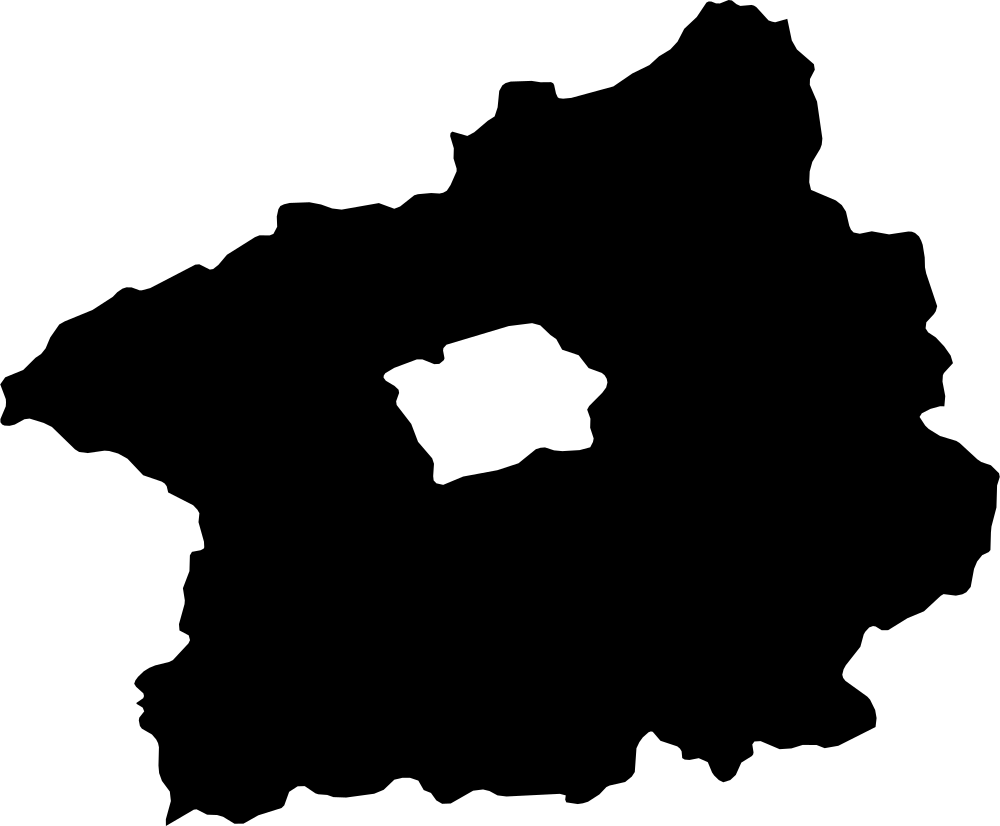 Geography
Central Bohemian, Czech Republic
10,905.8 km² Area (map outline)
Explore · approximate map area
Region in Czech Republic
Area calculated from the Natural Earth 5.1.1 generalized map outline using a local equal-area projection. The answer uses the same simplified outline shown, including islands and holes. This is a map comparison, not a precise surveyed or legal area.
Natural Earth 5.1.1 — Admin 1 states and provinces ↗Artwork: Natural Earth 5.1.1; projected and simplified by scripts/import-geography.py · Public domain
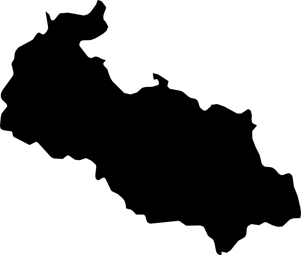 Geography
Moravian-Silesian, Czech Republic
5,618.4 km² Area (map outline)
Explore · approximate map area
Region in Czech Republic
Area calculated from the Natural Earth 5.1.1 generalized map outline using a local equal-area projection. The answer uses the same simplified outline shown, including islands and holes. This is a map comparison, not a precise surveyed or legal area.
Natural Earth 5.1.1 — Admin 1 states and provinces ↗Artwork: Natural Earth 5.1.1; projected and simplified by scripts/import-geography.py · Public domain
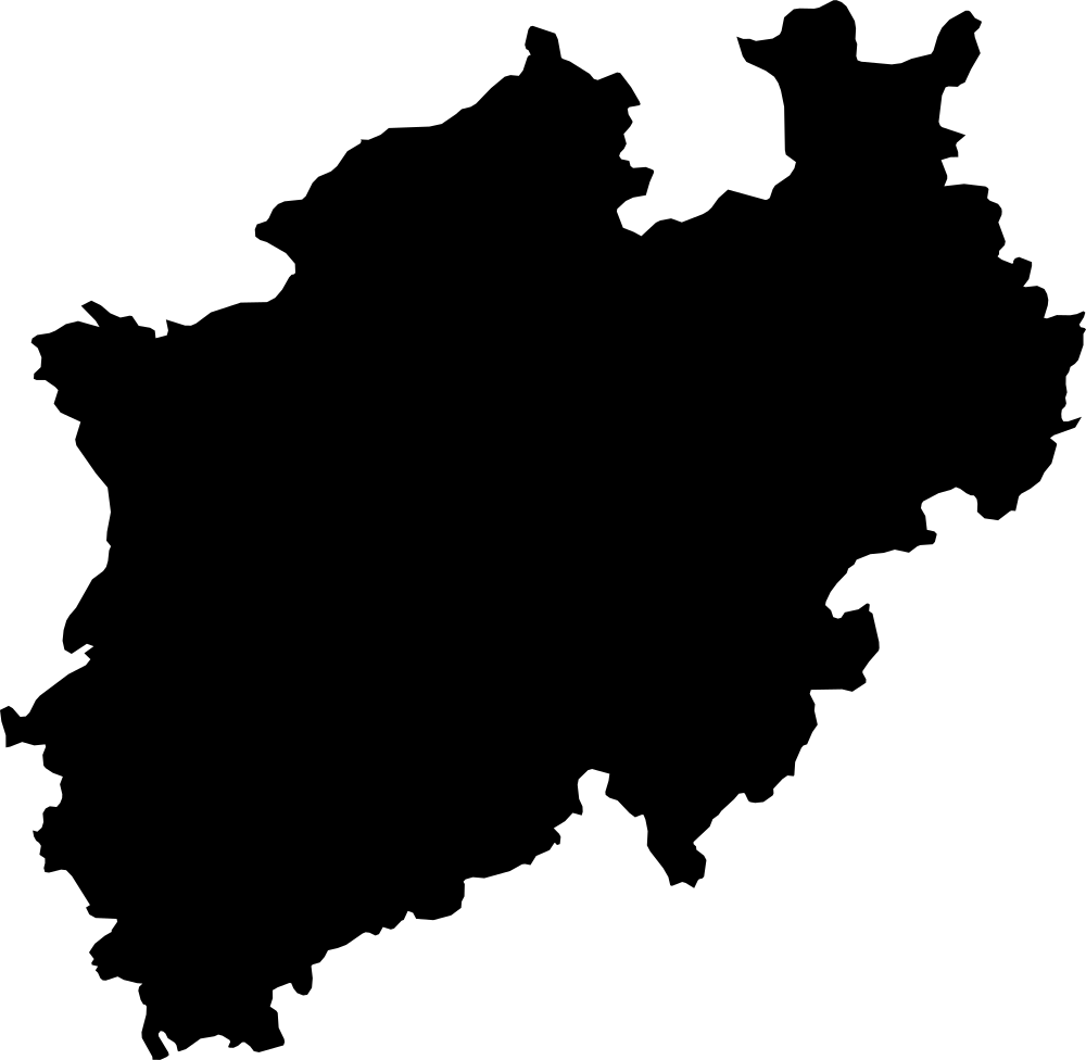 Geography
North Rhine-Westphalia, Germany
34,537.4 km² Area (map outline)
Explore · approximate map area
State in Germany
Area calculated from the Natural Earth 5.1.1 generalized map outline using a local equal-area projection. The answer uses the same simplified outline shown, including islands and holes. This is a map comparison, not a precise surveyed or legal area.
Natural Earth 5.1.1 — Admin 1 states and provinces ↗Artwork: Natural Earth 5.1.1; projected and simplified by scripts/import-geography.py · Public domain
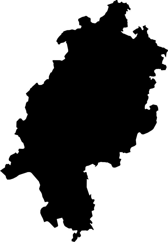 Geography
Hesse, Germany
21,014.4 km² Area (map outline)
Explore · approximate map area
State in Germany
Area calculated from the Natural Earth 5.1.1 generalized map outline using a local equal-area projection. The answer uses the same simplified outline shown, including islands and holes. This is a map comparison, not a precise surveyed or legal area.
Natural Earth 5.1.1 — Admin 1 states and provinces ↗Artwork: Natural Earth 5.1.1; projected and simplified by scripts/import-geography.py · Public domain
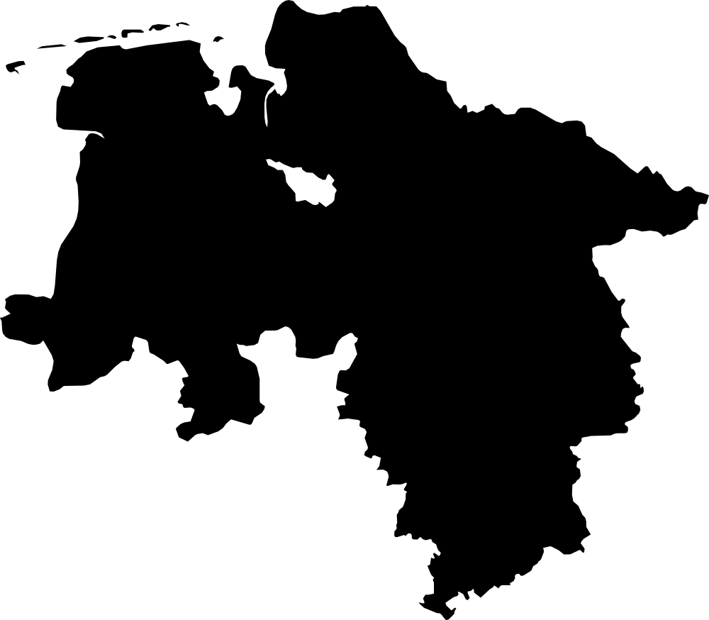 Geography
Lower Saxony, Germany
47,594.5 km² Area (map outline)
Explore · approximate map area
State in Germany
Area calculated from the Natural Earth 5.1.1 generalized map outline using a local equal-area projection. The answer uses the same simplified outline shown, including islands and holes. This is a map comparison, not a precise surveyed or legal area.
Natural Earth 5.1.1 — Admin 1 states and provinces ↗Artwork: Natural Earth 5.1.1; projected and simplified by scripts/import-geography.py · Public domain
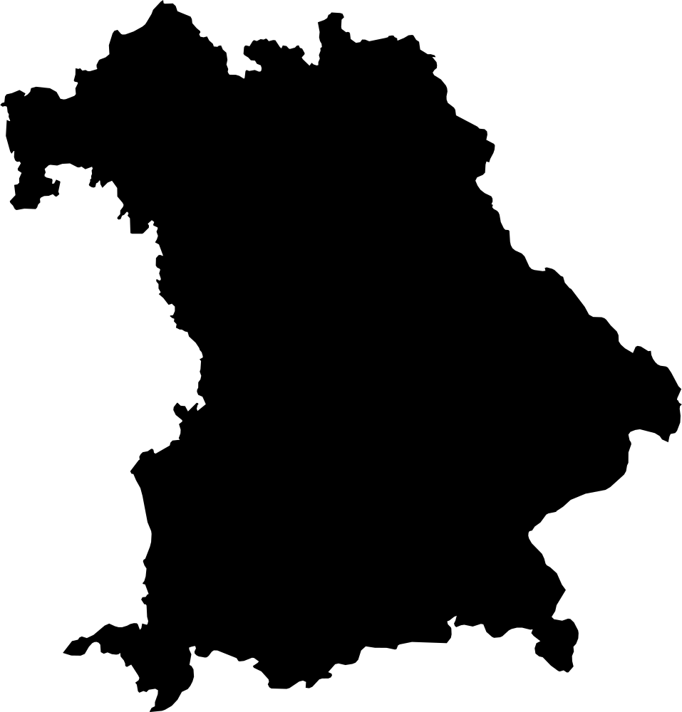 Geography
Bavaria, Germany
70,020.3 km² Area (map outline)
Explore · approximate map area
State in Germany
Area calculated from the Natural Earth 5.1.1 generalized map outline using a local equal-area projection. The answer uses the same simplified outline shown, including islands and holes. This is a map comparison, not a precise surveyed or legal area.
Natural Earth 5.1.1 — Admin 1 states and provinces ↗Artwork: Natural Earth 5.1.1; projected and simplified by scripts/import-geography.py · Public domain
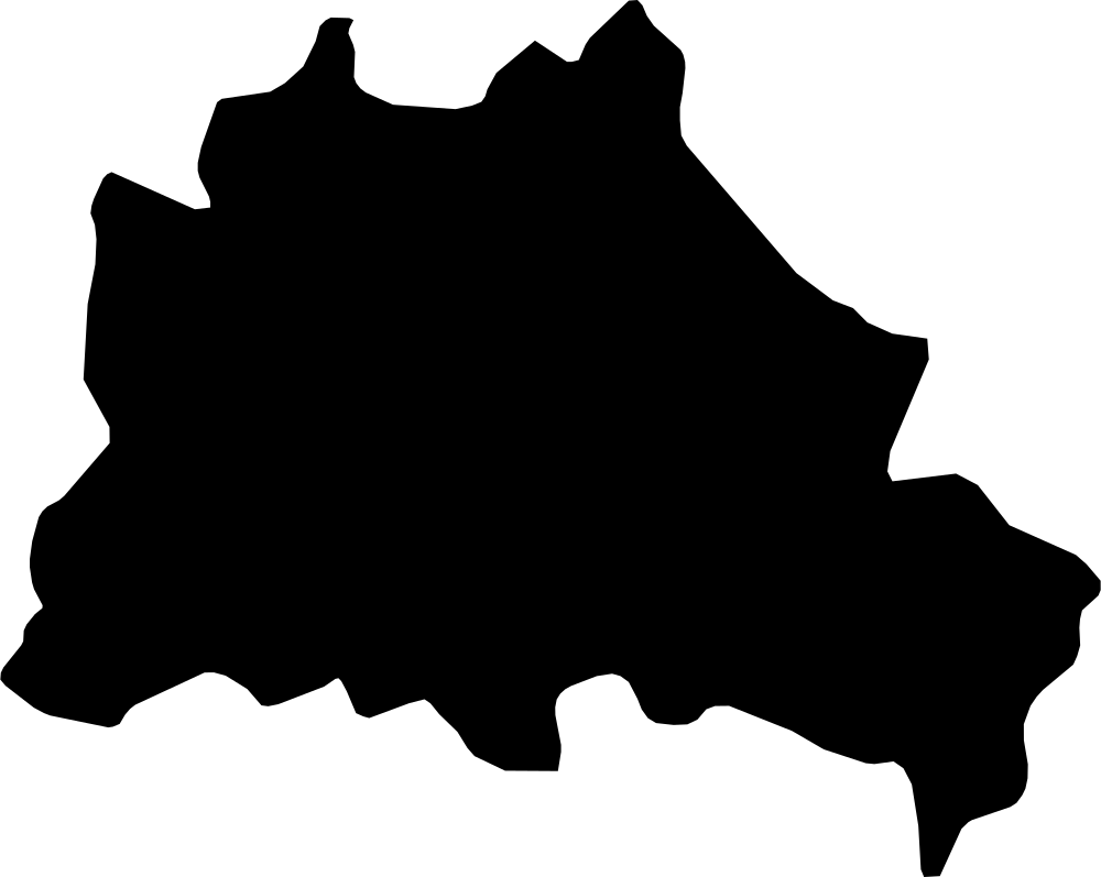 Geography
Berlin, Germany
889.3 km² Area (map outline)
Explore · approximate map area
State in Germany
Area calculated from the Natural Earth 5.1.1 generalized map outline using a local equal-area projection. The answer uses the same simplified outline shown, including islands and holes. This is a map comparison, not a precise surveyed or legal area.
Natural Earth 5.1.1 — Admin 1 states and provinces ↗Artwork: Natural Earth 5.1.1; projected and simplified by scripts/import-geography.py · Public domain
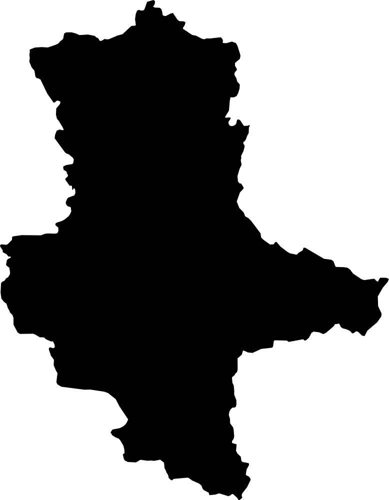 Geography
Saxony-Anhalt, Germany
20,663.2 km² Area (map outline)
Explore · approximate map area
State in Germany
Area calculated from the Natural Earth 5.1.1 generalized map outline using a local equal-area projection. The answer uses the same simplified outline shown, including islands and holes. This is a map comparison, not a precise surveyed or legal area.
Natural Earth 5.1.1 — Admin 1 states and provinces ↗Artwork: Natural Earth 5.1.1; projected and simplified by scripts/import-geography.py · Public domain
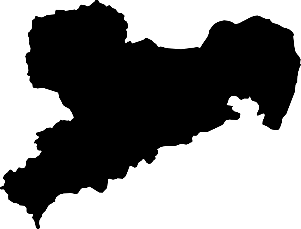 Geography
Saxony, Germany
18,166.7 km² Area (map outline)
Explore · approximate map area
State in Germany
Area calculated from the Natural Earth 5.1.1 generalized map outline using a local equal-area projection. The answer uses the same simplified outline shown, including islands and holes. This is a map comparison, not a precise surveyed or legal area.
Natural Earth 5.1.1 — Admin 1 states and provinces ↗Artwork: Natural Earth 5.1.1; projected and simplified by scripts/import-geography.py · Public domain
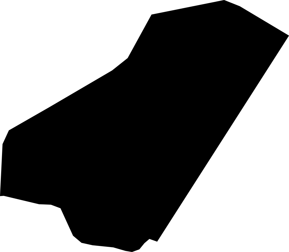 Geography
Ali Sabieh, Djibouti
1,868.4 km² Area (map outline)
Explore · approximate map area
Region in Djibouti
Area calculated from the Natural Earth 5.1.1 generalized map outline using a local equal-area projection. The answer uses the same simplified outline shown, including islands and holes. This is a map comparison, not a precise surveyed or legal area.
Natural Earth 5.1.1 — Admin 1 states and provinces ↗Artwork: Natural Earth 5.1.1; projected and simplified by scripts/import-geography.py · Public domain
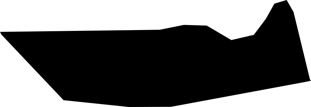 Geography
Djibouti, Djibouti
179.3 km² Area (map outline)
Explore · approximate map area
City in Djibouti
Area calculated from the Natural Earth 5.1.1 generalized map outline using a local equal-area projection. The answer uses the same simplified outline shown, including islands and holes. This is a map comparison, not a precise surveyed or legal area.
Natural Earth 5.1.1 — Admin 1 states and provinces ↗Artwork: Natural Earth 5.1.1; projected and simplified by scripts/import-geography.py · Public domain
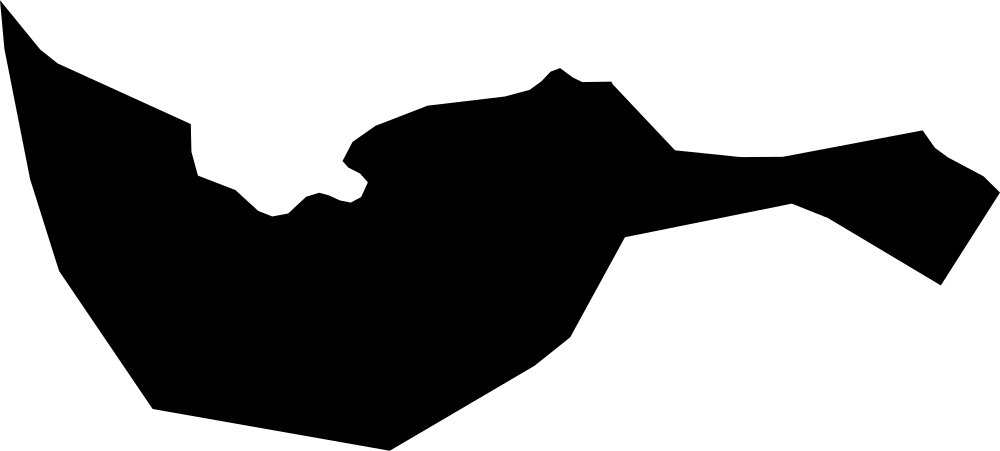 Geography
Arta, Djibouti
1,719.9 km² Area (map outline)
Explore · approximate map area
Region in Djibouti
Area calculated from the Natural Earth 5.1.1 generalized map outline using a local equal-area projection. The answer uses the same simplified outline shown, including islands and holes. This is a map comparison, not a precise surveyed or legal area.
Natural Earth 5.1.1 — Admin 1 states and provinces ↗Artwork: Natural Earth 5.1.1; projected and simplified by scripts/import-geography.py · Public domain
 Geography
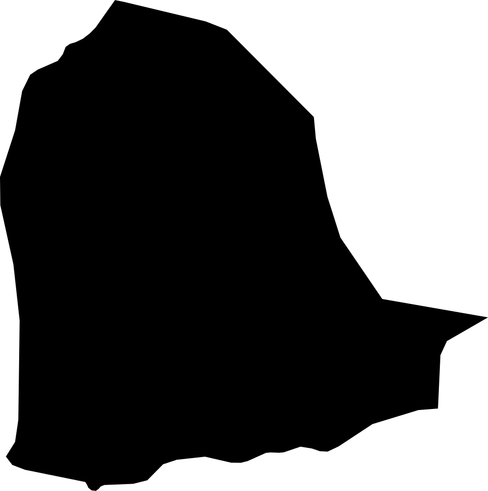
Dikhil, Djibouti
6,814.8 km² Area (map outline)
Explore · approximate map area
Region in Djibouti
Area calculated from the Natural Earth 5.1.1 generalized map outline using a local equal-area projection. The answer uses the same simplified outline shown, including islands and holes. This is a map comparison, not a precise surveyed or legal area.
Natural Earth 5.1.1 — Admin 1 states and provinces ↗Artwork: Natural Earth 5.1.1; projected and simplified by scripts/import-geography.py · Public domain
 Geography
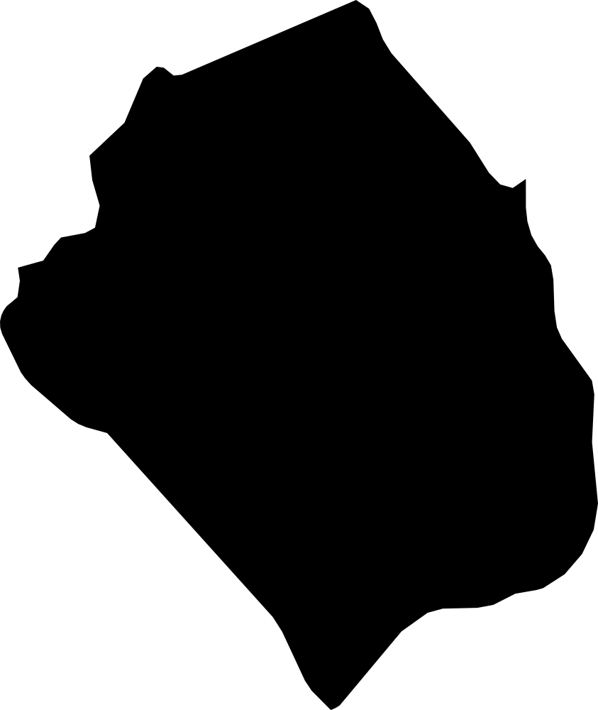
Obock, Djibouti
4,619.6 km² Area (map outline)
Explore · approximate map area
Region in Djibouti
Area calculated from the Natural Earth 5.1.1 generalized map outline using a local equal-area projection. The answer uses the same simplified outline shown, including islands and holes. This is a map comparison, not a precise surveyed or legal area.
Natural Earth 5.1.1 — Admin 1 states and provinces ↗Artwork: Natural Earth 5.1.1; projected and simplified by scripts/import-geography.py · Public domain
 Geography
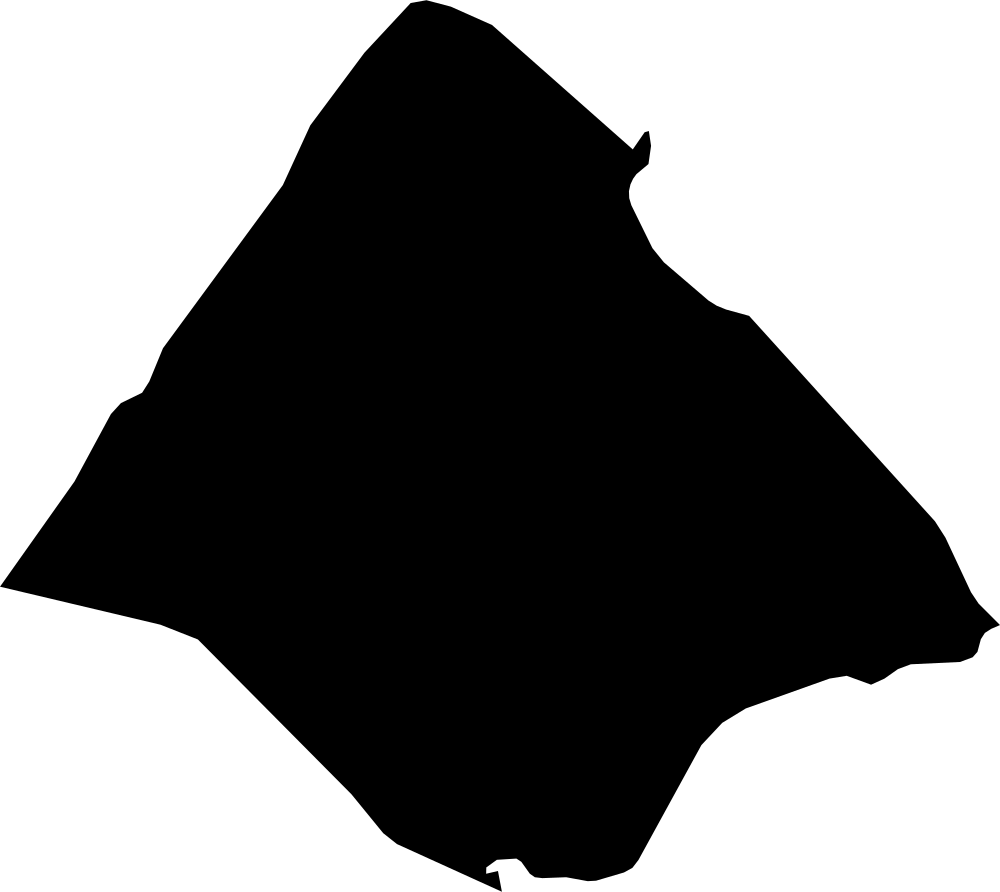
Tadjourah, Djibouti
6,646.4 km² Area (map outline)
Explore · approximate map area
Region in Djibouti
Area calculated from the Natural Earth 5.1.1 generalized map outline using a local equal-area projection. The answer uses the same simplified outline shown, including islands and holes. This is a map comparison, not a precise surveyed or legal area.
Natural Earth 5.1.1 — Admin 1 states and provinces ↗Artwork: Natural Earth 5.1.1; projected and simplified by scripts/import-geography.py · Public domain
 Geography
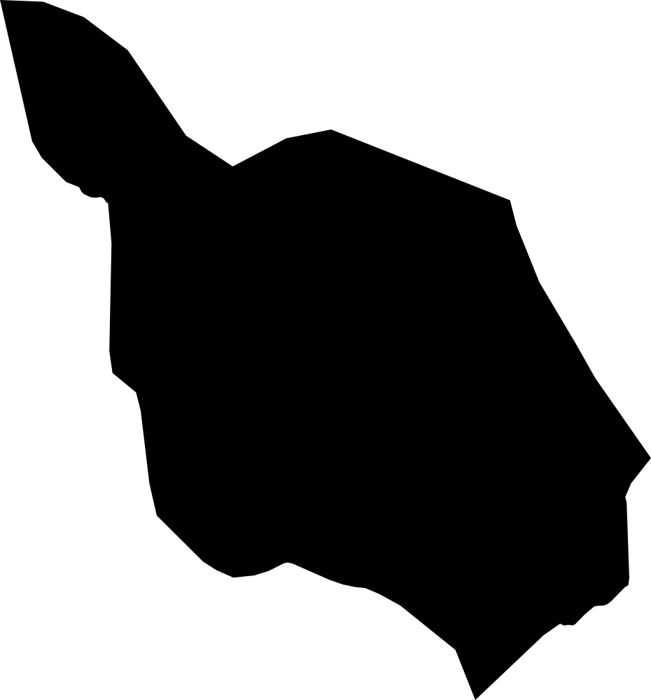
Saint Andrew, Dominica
198.3 km² Area (map outline)
Explore · approximate map area
Parish in Dominica
Area calculated from the Natural Earth 5.1.1 generalized map outline using a local equal-area projection. The answer uses the same simplified outline shown, including islands and holes. This is a map comparison, not a precise surveyed or legal area.
Natural Earth 5.1.1 — Admin 1 states and provinces ↗Artwork: Natural Earth 5.1.1; projected and simplified by scripts/import-geography.py · Public domain
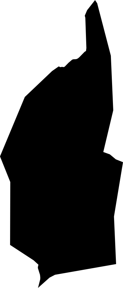 Geography
Saint David, Dominica
117.3 km² Area (map outline)
Explore · approximate map area
Parish in Dominica
Area calculated from the Natural Earth 5.1.1 generalized map outline using a local equal-area projection. The answer uses the same simplified outline shown, including islands and holes. This is a map comparison, not a precise surveyed or legal area.
Natural Earth 5.1.1 — Admin 1 states and provinces ↗Artwork: Natural Earth 5.1.1; projected and simplified by scripts/import-geography.py · Public domain
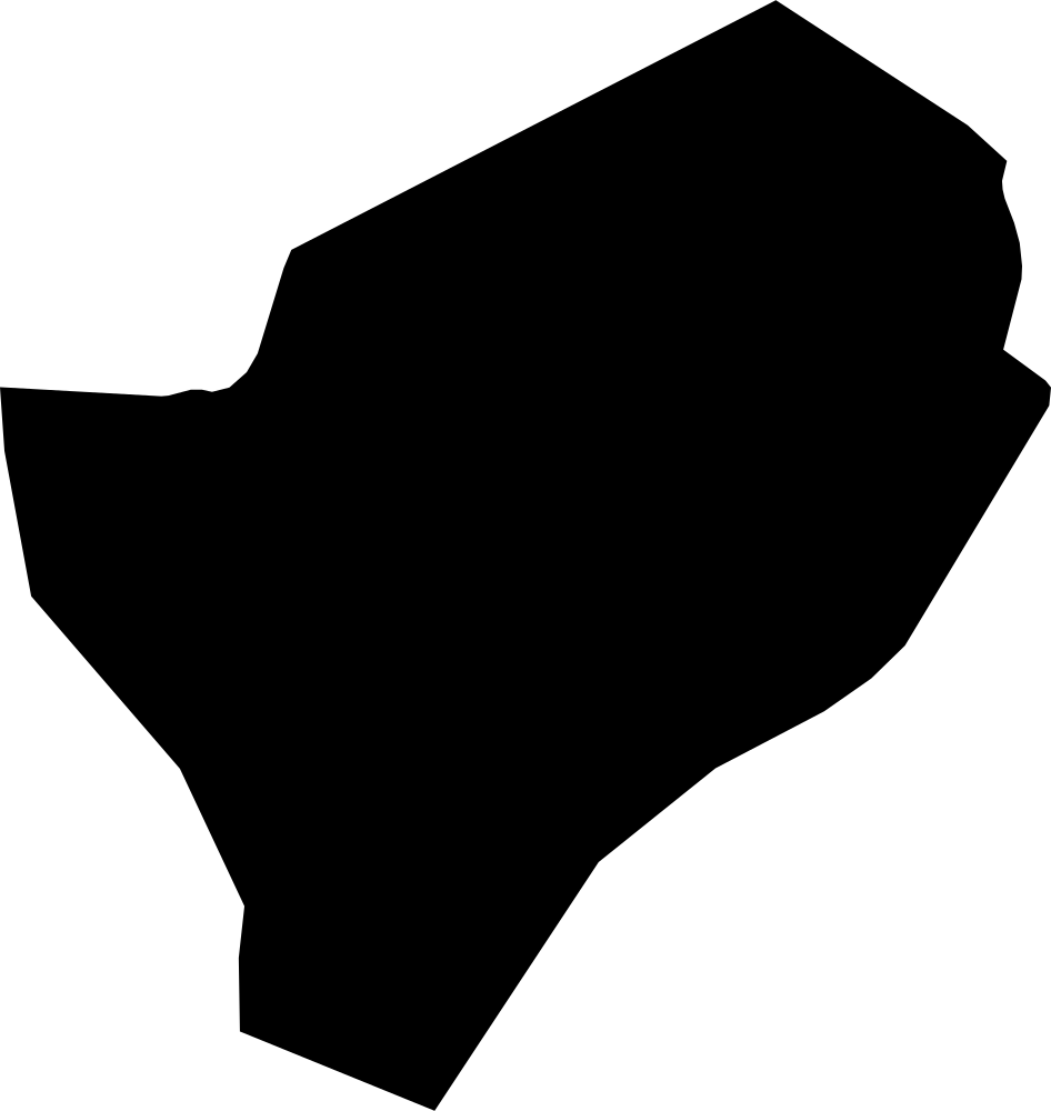 Geography
Saint George, Dominica
53.5 km² Area (map outline)
Explore · approximate map area
Parish in Dominica
Area calculated from the Natural Earth 5.1.1 generalized map outline using a local equal-area projection. The answer uses the same simplified outline shown, including islands and holes. This is a map comparison, not a precise surveyed or legal area.
Natural Earth 5.1.1 — Admin 1 states and provinces ↗Artwork: Natural Earth 5.1.1; projected and simplified by scripts/import-geography.py · Public domain
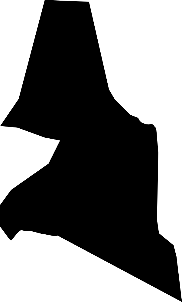 Geography
Saint John, Dominica
65 km² Area (map outline)
Explore · approximate map area
Parish in Dominica
Area calculated from the Natural Earth 5.1.1 generalized map outline using a local equal-area projection. The answer uses the same simplified outline shown, including islands and holes. This is a map comparison, not a precise surveyed or legal area.
Natural Earth 5.1.1 — Admin 1 states and provinces ↗Artwork: Natural Earth 5.1.1; projected and simplified by scripts/import-geography.py · Public domain
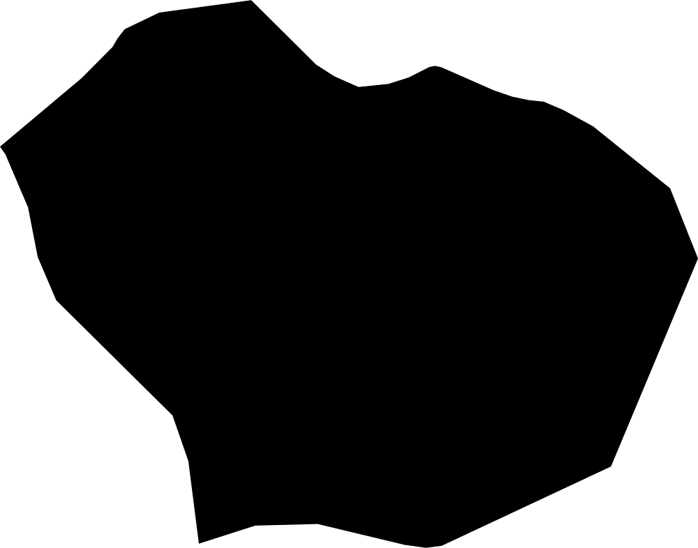 Geography
Saint Joseph, Dominica
115 km² Area (map outline)
Explore · approximate map area
Parish in Dominica
Area calculated from the Natural Earth 5.1.1 generalized map outline using a local equal-area projection. The answer uses the same simplified outline shown, including islands and holes. This is a map comparison, not a precise surveyed or legal area.
Natural Earth 5.1.1 — Admin 1 states and provinces ↗Artwork: Natural Earth 5.1.1; projected and simplified by scripts/import-geography.py · Public domain
 Geography
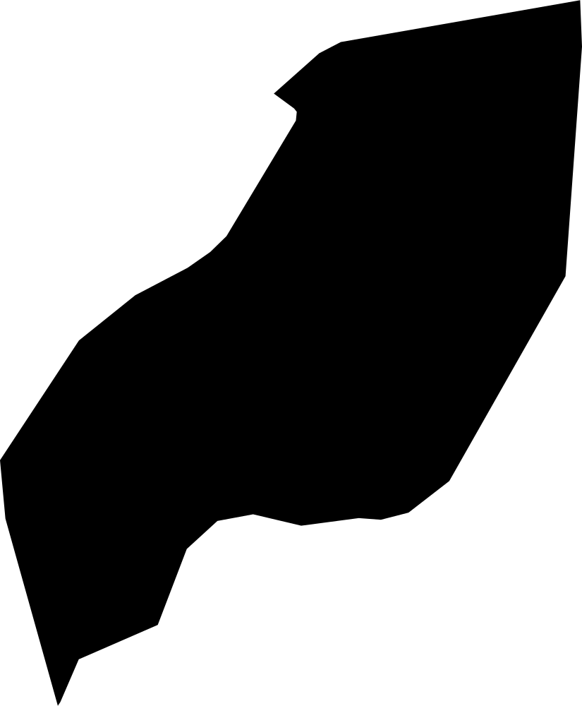
Saint Patrick, Dominica
74.1 km² Area (map outline)
Explore · approximate map area
Parish in Dominica
Area calculated from the Natural Earth 5.1.1 generalized map outline using a local equal-area projection. The answer uses the same simplified outline shown, including islands and holes. This is a map comparison, not a precise surveyed or legal area.
Natural Earth 5.1.1 — Admin 1 states and provinces ↗Artwork: Natural Earth 5.1.1; projected and simplified by scripts/import-geography.py · Public domain
 Geography
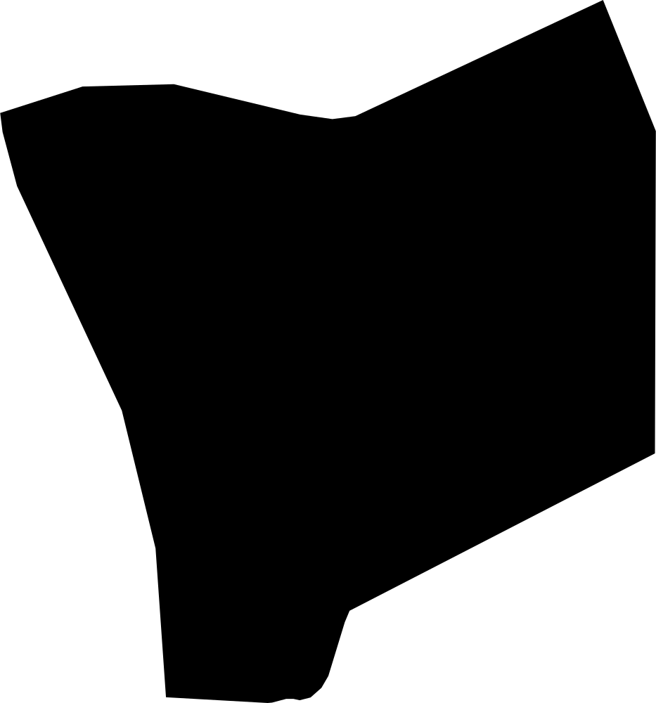
Saint Paul, Dominica
61.7 km² Area (map outline)
Explore · approximate map area
Parish in Dominica
Area calculated from the Natural Earth 5.1.1 generalized map outline using a local equal-area projection. The answer uses the same simplified outline shown, including islands and holes. This is a map comparison, not a precise surveyed or legal area.
Natural Earth 5.1.1 — Admin 1 states and provinces ↗Artwork: Natural Earth 5.1.1; projected and simplified by scripts/import-geography.py · Public domain
 Geography
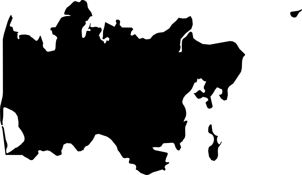
Central Denmark, Denmark
13,189.7 km² Area (map outline)
Explore · approximate map area
Region in Denmark
Area calculated from the Natural Earth 5.1.1 generalized map outline using a local equal-area projection. The answer uses the same simplified outline shown, including islands and holes. This is a map comparison, not a precise surveyed or legal area.
Natural Earth 5.1.1 — Admin 1 states and provinces ↗Artwork: Natural Earth 5.1.1; projected and simplified by scripts/import-geography.py · Public domain
 Geography
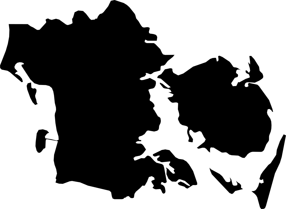
Southern Denmark, Denmark
11,880.2 km² Area (map outline)
Explore · approximate map area
Region in Denmark
Area calculated from the Natural Earth 5.1.1 generalized map outline using a local equal-area projection. The answer uses the same simplified outline shown, including islands and holes. This is a map comparison, not a precise surveyed or legal area.
Natural Earth 5.1.1 — Admin 1 states and provinces ↗Artwork: Natural Earth 5.1.1; projected and simplified by scripts/import-geography.py · Public domain
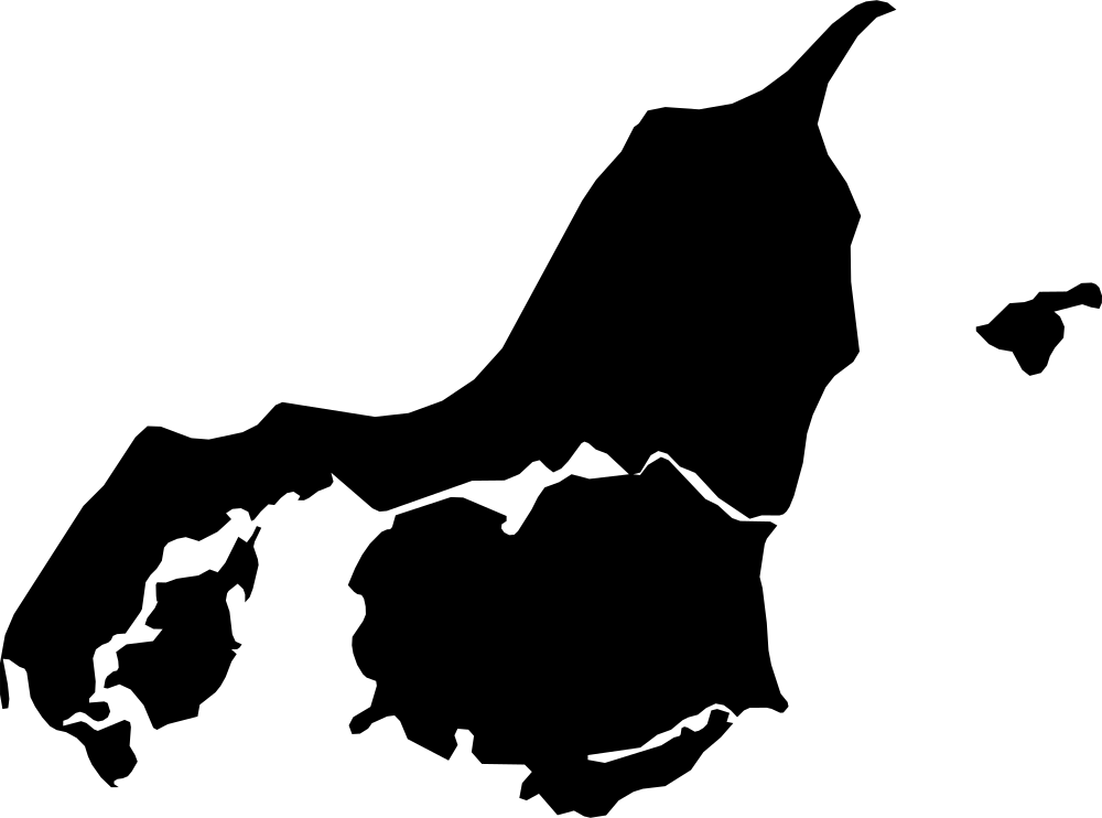 Geography
North Denmark, Denmark
7,921.2 km² Area (map outline)
Explore · approximate map area
Region in Denmark
Area calculated from the Natural Earth 5.1.1 generalized map outline using a local equal-area projection. The answer uses the same simplified outline shown, including islands and holes. This is a map comparison, not a precise surveyed or legal area.
Natural Earth 5.1.1 — Admin 1 states and provinces ↗Artwork: Natural Earth 5.1.1; projected and simplified by scripts/import-geography.py · Public domain
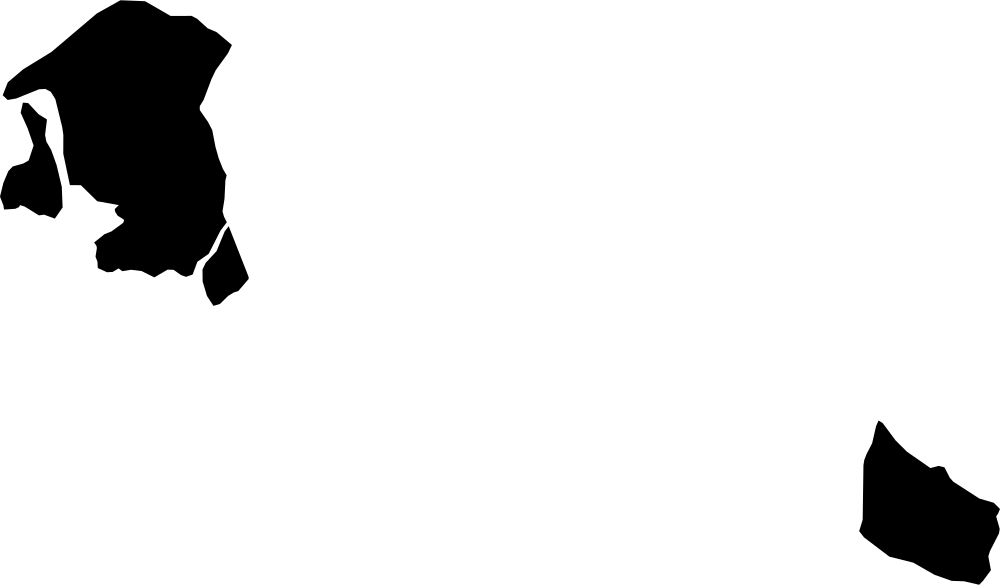 Geography
Denmark, Denmark
2,529.8 km² Area (map outline)
Explore · approximate map area
Region in Denmark
Area calculated from the Natural Earth 5.1.1 generalized map outline using a local equal-area projection. The answer uses the same simplified outline shown, including islands and holes. This is a map comparison, not a precise surveyed or legal area.
Natural Earth 5.1.1 — Admin 1 states and provinces ↗Artwork: Natural Earth 5.1.1; projected and simplified by scripts/import-geography.py · Public domain
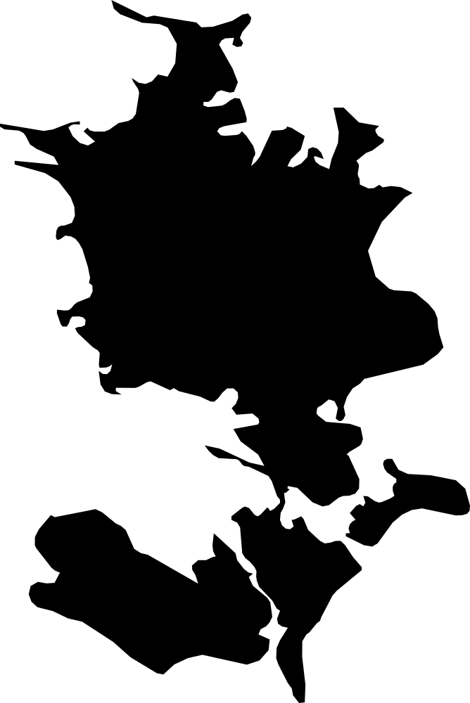 Geography
Zealand, Denmark
7,175.6 km² Area (map outline)
Explore · approximate map area
Region in Denmark
Area calculated from the Natural Earth 5.1.1 generalized map outline using a local equal-area projection. The answer uses the same simplified outline shown, including islands and holes. This is a map comparison, not a precise surveyed or legal area.
Natural Earth 5.1.1 — Admin 1 states and provinces ↗Artwork: Natural Earth 5.1.1; projected and simplified by scripts/import-geography.py · Public domain
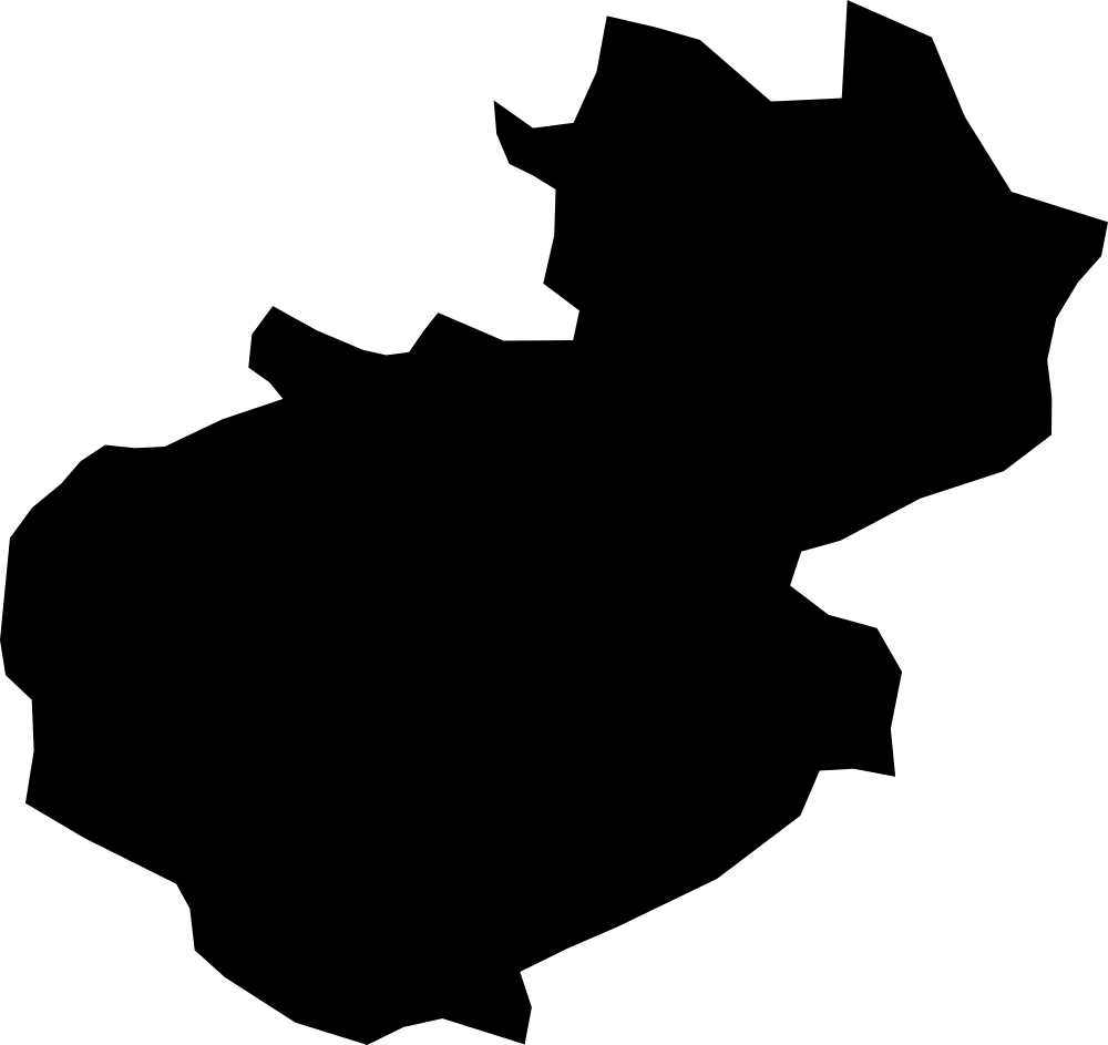 Geography
Santiago, Dominican Republic
2,789.3 km² Area (map outline)
Explore · approximate map area
Province in Dominican Republic
Area calculated from the Natural Earth 5.1.1 generalized map outline using a local equal-area projection. The answer uses the same simplified outline shown, including islands and holes. This is a map comparison, not a precise surveyed or legal area.
Natural Earth 5.1.1 — Admin 1 states and provinces ↗Artwork: Natural Earth 5.1.1; projected and simplified by scripts/import-geography.py · Public domain
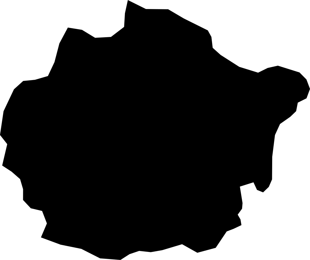 Geography
San Juan, Dominican Republic
3,325 km² Area (map outline)
Explore · approximate map area
Province in Dominican Republic
Area calculated from the Natural Earth 5.1.1 generalized map outline using a local equal-area projection. The answer uses the same simplified outline shown, including islands and holes. This is a map comparison, not a precise surveyed or legal area.
Natural Earth 5.1.1 — Admin 1 states and provinces ↗Artwork: Natural Earth 5.1.1; projected and simplified by scripts/import-geography.py · Public domain
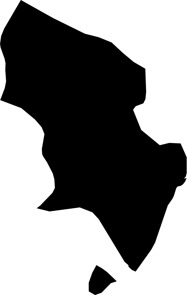 Geography
Pedernales, Dominican Republic
2,087.4 km² Area (map outline)
Explore · approximate map area
Province in Dominican Republic
Area calculated from the Natural Earth 5.1.1 generalized map outline using a local equal-area projection. The answer uses the same simplified outline shown, including islands and holes. This is a map comparison, not a precise surveyed or legal area.
Natural Earth 5.1.1 — Admin 1 states and provinces ↗Artwork: Natural Earth 5.1.1; projected and simplified by scripts/import-geography.py · Public domain
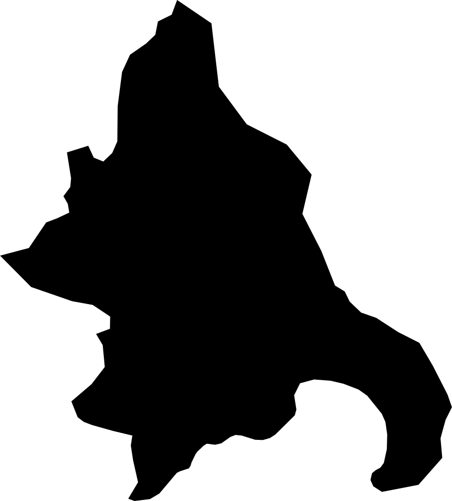 Geography
Azua, Dominican Republic
2,596.6 km² Area (map outline)
Explore · approximate map area
Province in Dominican Republic
Area calculated from the Natural Earth 5.1.1 generalized map outline using a local equal-area projection. The answer uses the same simplified outline shown, including islands and holes. This is a map comparison, not a precise surveyed or legal area.
Natural Earth 5.1.1 — Admin 1 states and provinces ↗Artwork: Natural Earth 5.1.1; projected and simplified by scripts/import-geography.py · Public domain
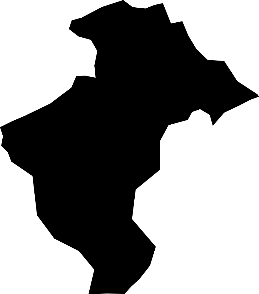 Geography
La Vega, Dominican Republic
2,290.8 km² Area (map outline)
Explore · approximate map area
Province in Dominican Republic
Area calculated from the Natural Earth 5.1.1 generalized map outline using a local equal-area projection. The answer uses the same simplified outline shown, including islands and holes. This is a map comparison, not a precise surveyed or legal area.
Natural Earth 5.1.1 — Admin 1 states and provinces ↗Artwork: Natural Earth 5.1.1; projected and simplified by scripts/import-geography.py · Public domain
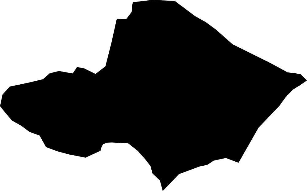 Geography
Monte Plata, Dominican Republic
2,652.4 km² Area (map outline)
Explore · approximate map area
Province in Dominican Republic
Area calculated from the Natural Earth 5.1.1 generalized map outline using a local equal-area projection. The answer uses the same simplified outline shown, including islands and holes. This is a map comparison, not a precise surveyed or legal area.
Natural Earth 5.1.1 — Admin 1 states and provinces ↗Artwork: Natural Earth 5.1.1; projected and simplified by scripts/import-geography.py · Public domain
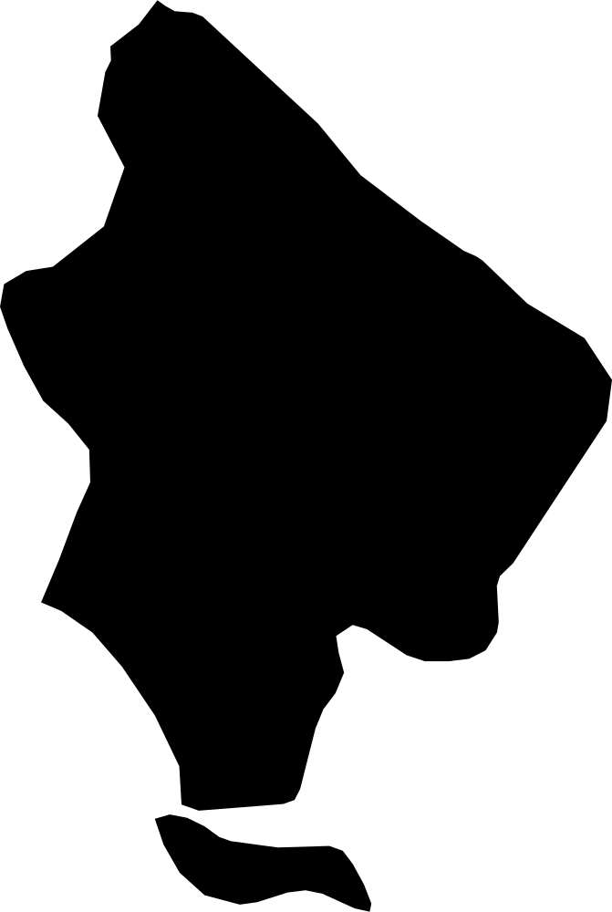 Geography
La Altagracia, Dominican Republic
3,190.2 km² Area (map outline)
Explore · approximate map area
Province in Dominican Republic
Area calculated from the Natural Earth 5.1.1 generalized map outline using a local equal-area projection. The answer uses the same simplified outline shown, including islands and holes. This is a map comparison, not a precise surveyed or legal area.
Natural Earth 5.1.1 — Admin 1 states and provinces ↗Artwork: Natural Earth 5.1.1; projected and simplified by scripts/import-geography.py · Public domain
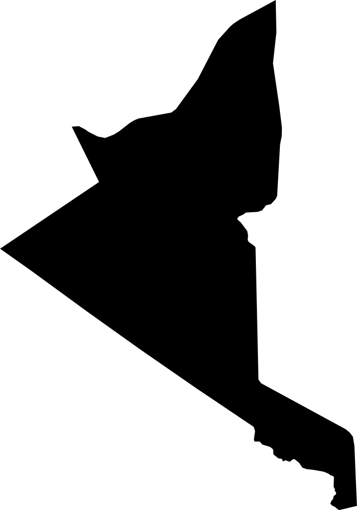 Geography
Adrar, Algeria
475,602.9 km² Area (map outline)
Explore · approximate map area
Province in Algeria
Area calculated from the Natural Earth 5.1.1 generalized map outline using a local equal-area projection. The answer uses the same simplified outline shown, including islands and holes. This is a map comparison, not a precise surveyed or legal area.
Natural Earth 5.1.1 — Admin 1 states and provinces ↗Artwork: Natural Earth 5.1.1; projected and simplified by scripts/import-geography.py · Public domain
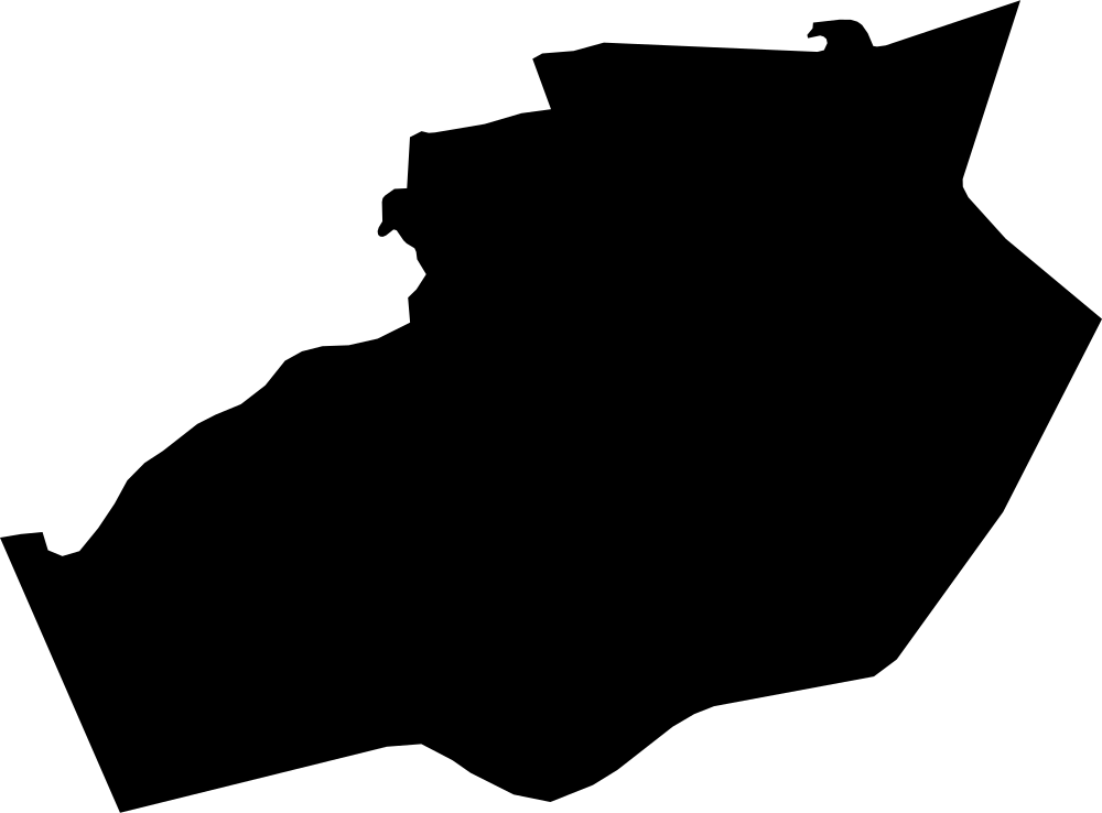 Geography
Béchar, Algeria
165,045.1 km² Area (map outline)
Explore · approximate map area
Province in Algeria
Area calculated from the Natural Earth 5.1.1 generalized map outline using a local equal-area projection. The answer uses the same simplified outline shown, including islands and holes. This is a map comparison, not a precise surveyed or legal area.
Natural Earth 5.1.1 — Admin 1 states and provinces ↗Artwork: Natural Earth 5.1.1; projected and simplified by scripts/import-geography.py · Public domain
 Geography
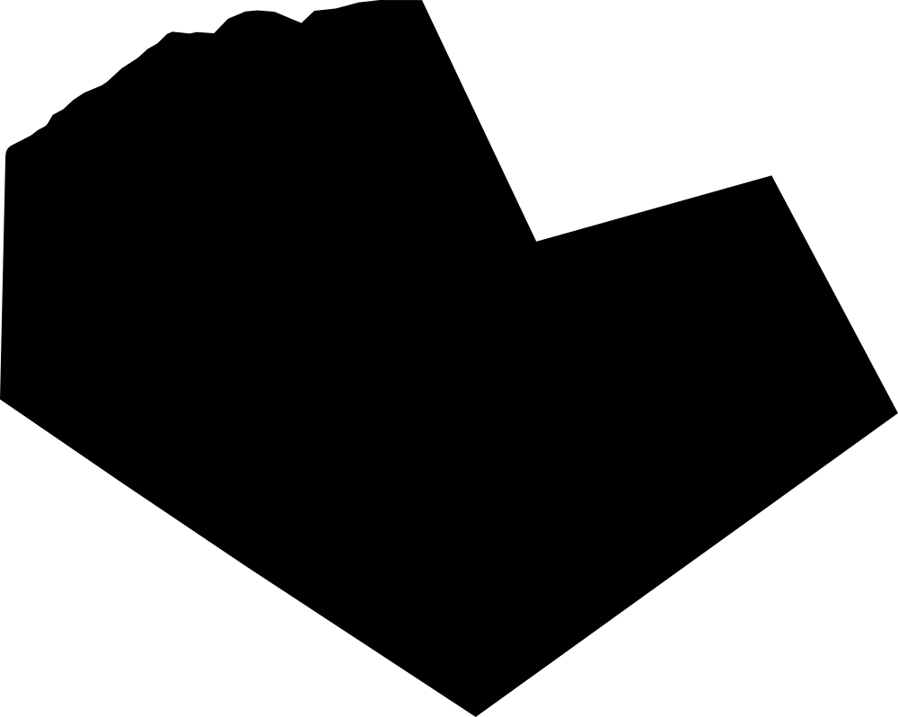
Tindouf, Algeria
152,304.4 km² Area (map outline)
Explore · approximate map area
Province in Algeria
Area calculated from the Natural Earth 5.1.1 generalized map outline using a local equal-area projection. The answer uses the same simplified outline shown, including islands and holes. This is a map comparison, not a precise surveyed or legal area.
Natural Earth 5.1.1 — Admin 1 states and provinces ↗Artwork: Natural Earth 5.1.1; projected and simplified by scripts/import-geography.py · Public domain
 Geography
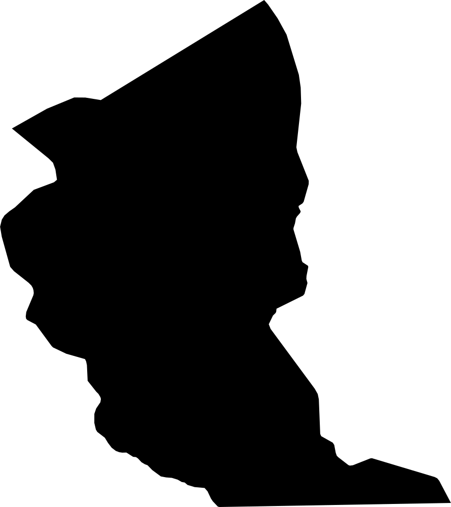
Illizi, Algeria
196,050.1 km² Area (map outline)
Explore · approximate map area
Province in Algeria
Area calculated from the Natural Earth 5.1.1 generalized map outline using a local equal-area projection. The answer uses the same simplified outline shown, including islands and holes. This is a map comparison, not a precise surveyed or legal area.
Natural Earth 5.1.1 — Admin 1 states and provinces ↗Artwork: Natural Earth 5.1.1; projected and simplified by scripts/import-geography.py · Public domain
 Geography
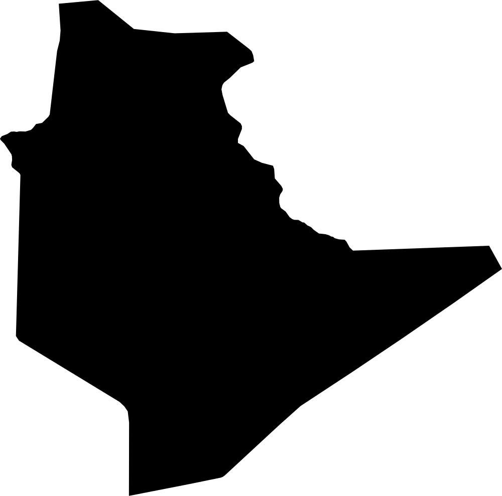
Tamanghasset, Algeria
609,311.3 km² Area (map outline)
Explore · approximate map area
Province in Algeria
Area calculated from the Natural Earth 5.1.1 generalized map outline using a local equal-area projection. The answer uses the same simplified outline shown, including islands and holes. This is a map comparison, not a precise surveyed or legal area.
Natural Earth 5.1.1 — Admin 1 states and provinces ↗Artwork: Natural Earth 5.1.1; projected and simplified by scripts/import-geography.py · Public domain
 Geography
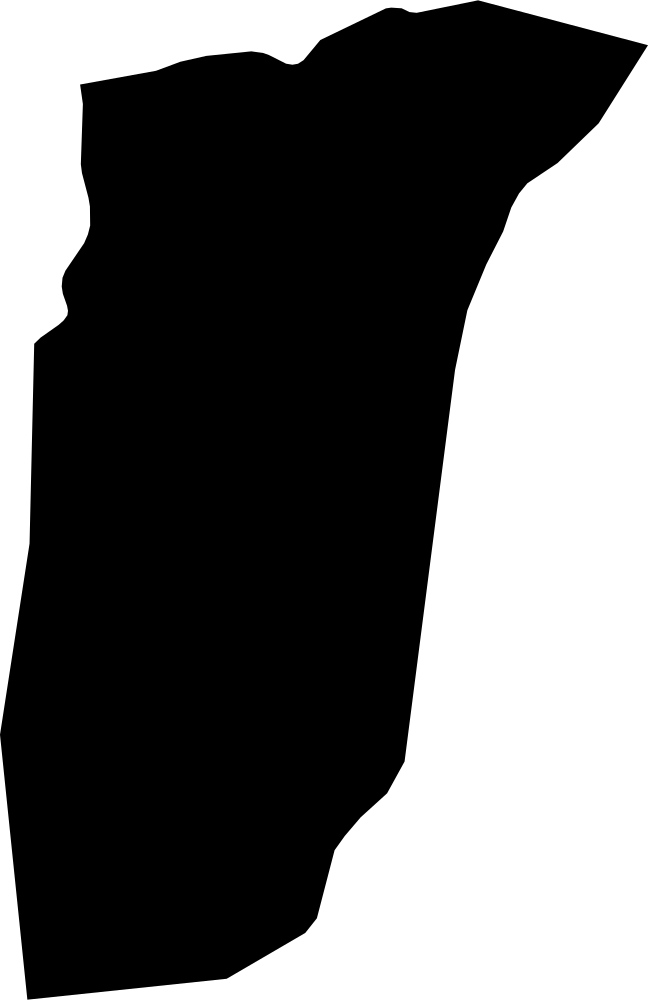
Ghardaïa, Algeria
75,475.3 km² Area (map outline)
Explore · approximate map area
Province in Algeria
Area calculated from the Natural Earth 5.1.1 generalized map outline using a local equal-area projection. The answer uses the same simplified outline shown, including islands and holes. This is a map comparison, not a precise surveyed or legal area.
Natural Earth 5.1.1 — Admin 1 states and provinces ↗Artwork: Natural Earth 5.1.1; projected and simplified by scripts/import-geography.py · Public domain