Showing 817–864 of 1,741 records.
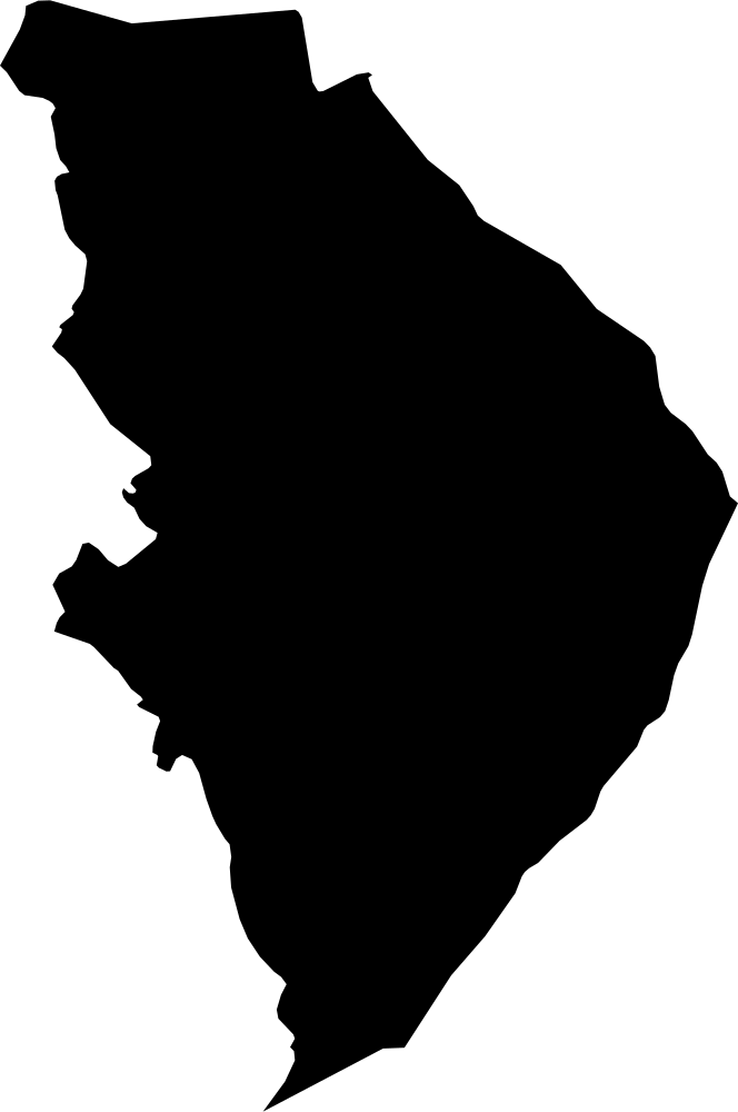 Geography
North Karelia, Finland
21,391.6 km² Area (map outline)
Explore · approximate map area
Province in Finland
Area calculated from the Natural Earth 5.1.1 generalized map outline using a local equal-area projection. The answer uses the same simplified outline shown, including islands and holes. This is a map comparison, not a precise surveyed or legal area.
Natural Earth 5.1.1 — Admin 1 states and provinces ↗Artwork: Natural Earth 5.1.1; projected and simplified by scripts/import-geography.py · Public domain
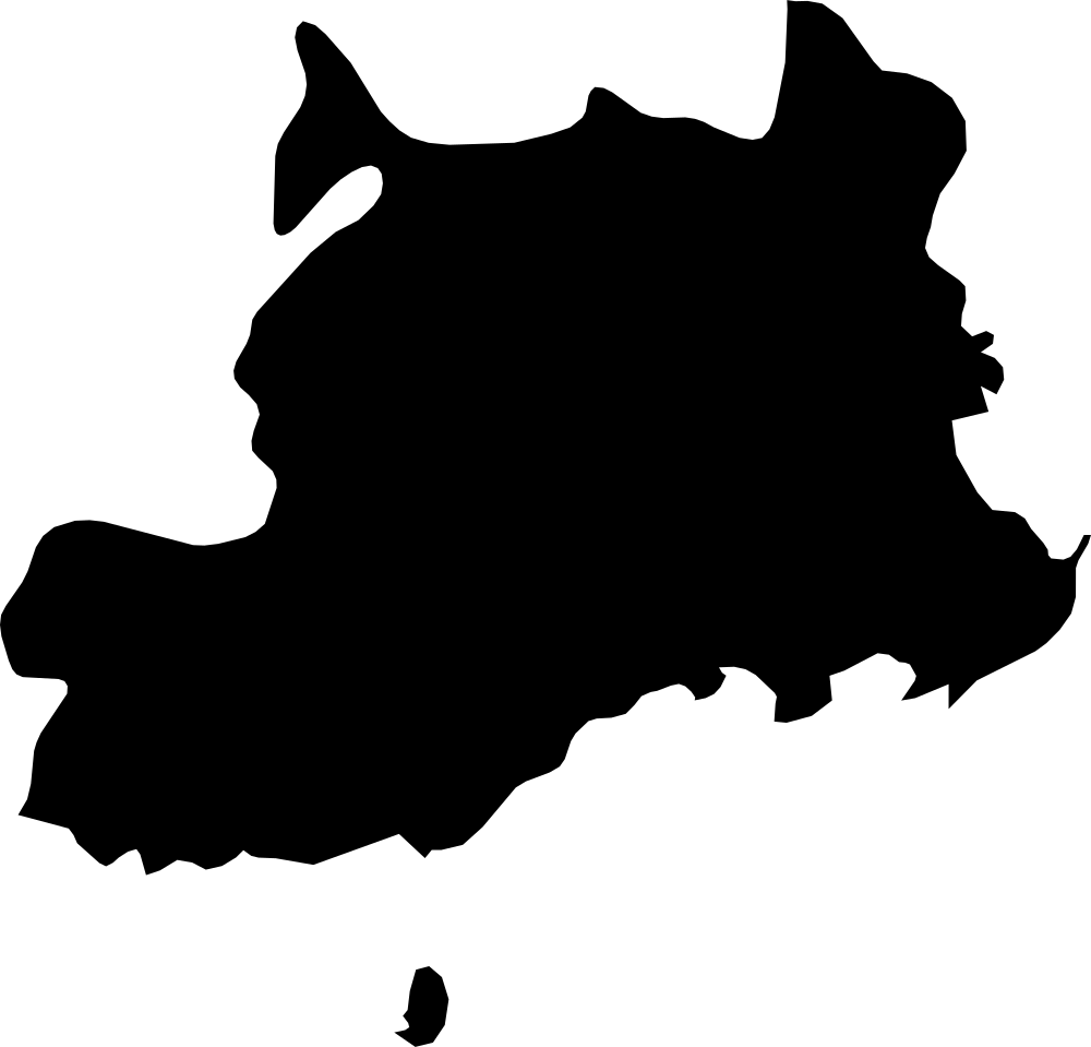 Geography
Central, Fiji
4,567.5 km² Area (map outline)
Explore · approximate map area
Division in Fiji
Area calculated from the Natural Earth 5.1.1 generalized map outline using a local equal-area projection. The answer uses the same simplified outline shown, including islands and holes. This is a map comparison, not a precise surveyed or legal area.
Natural Earth 5.1.1 — Admin 1 states and provinces ↗Artwork: Natural Earth 5.1.1; projected and simplified by scripts/import-geography.py · Public domain
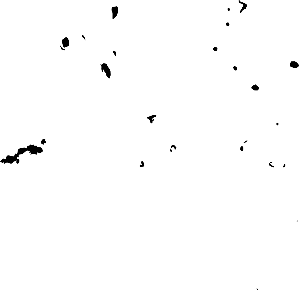 Geography
Eastern, Fiji
1,405.6 km² Area (map outline)
Explore · approximate map area
Division in Fiji
Area calculated from the Natural Earth 5.1.1 generalized map outline using a local equal-area projection. The answer uses the same simplified outline shown, including islands and holes. This is a map comparison, not a precise surveyed or legal area.
Reference only · outside game rotation
Natural Earth 5.1.1 — Admin 1 states and provinces ↗Artwork: Natural Earth 5.1.1; projected and simplified by scripts/import-geography.py · Public domain
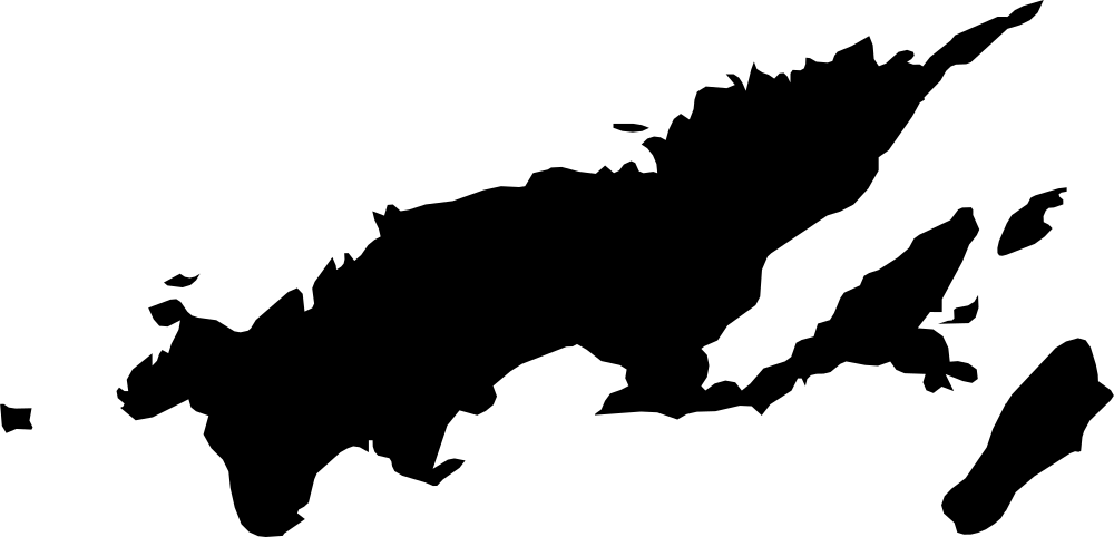 Geography
Northern, Fiji
6,337.7 km² Area (map outline)
Explore · approximate map area
Division in Fiji
Area calculated from the Natural Earth 5.1.1 generalized map outline using a local equal-area projection. The answer uses the same simplified outline shown, including islands and holes. This is a map comparison, not a precise surveyed or legal area.
Natural Earth 5.1.1 — Admin 1 states and provinces ↗Artwork: Natural Earth 5.1.1; projected and simplified by scripts/import-geography.py · Public domain
 Geography
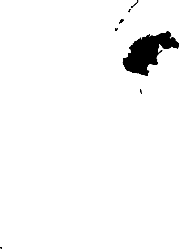
Western, Fiji
6,574.3 km² Area (map outline)
Explore · approximate map area
Division in Fiji
Area calculated from the Natural Earth 5.1.1 generalized map outline using a local equal-area projection. The answer uses the same simplified outline shown, including islands and holes. This is a map comparison, not a precise surveyed or legal area.
Natural Earth 5.1.1 — Admin 1 states and provinces ↗Artwork: Natural Earth 5.1.1; projected and simplified by scripts/import-geography.py · Public domain
 Geography
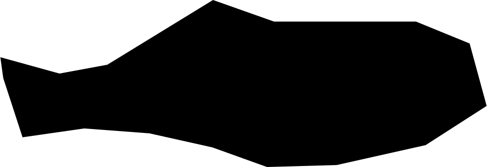
Rotuma, Fiji
39.5 km² Area (map outline)
Explore · approximate map area
Division in Fiji
Area calculated from the Natural Earth 5.1.1 generalized map outline using a local equal-area projection. The answer uses the same simplified outline shown, including islands and holes. This is a map comparison, not a precise surveyed or legal area.
Natural Earth 5.1.1 — Admin 1 states and provinces ↗Artwork: Natural Earth 5.1.1; projected and simplified by scripts/import-geography.py · Public domain
 Geography
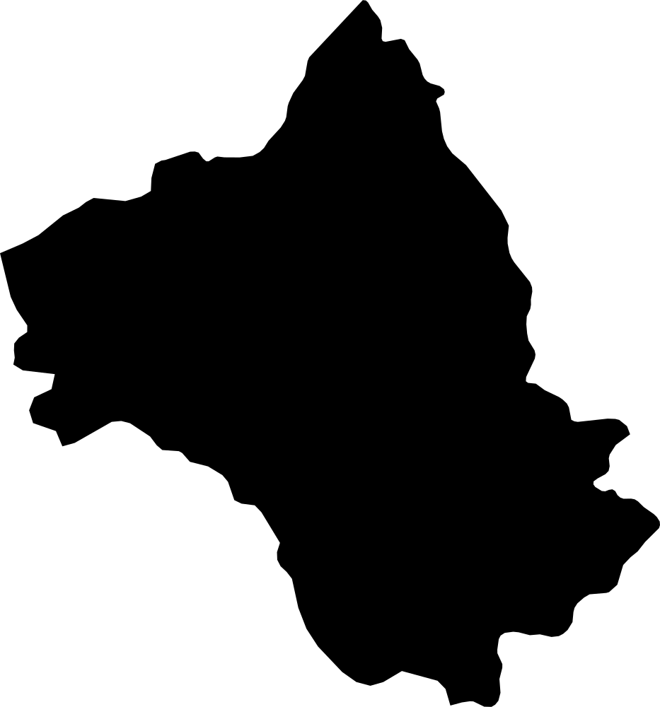
Aveyron, France
8,818 km² Area (map outline)
Explore · approximate map area
Metropolitan department in France
Area calculated from the Natural Earth 5.1.1 generalized map outline using a local equal-area projection. The answer uses the same simplified outline shown, including islands and holes. This is a map comparison, not a precise surveyed or legal area.
Natural Earth 5.1.1 — Admin 1 states and provinces ↗Artwork: Natural Earth 5.1.1; projected and simplified by scripts/import-geography.py · Public domain
 Geography
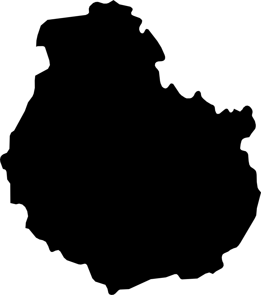
Côte-d’Or, France
8,815.3 km² Area (map outline)
Explore · approximate map area
Metropolitan department in France
Area calculated from the Natural Earth 5.1.1 generalized map outline using a local equal-area projection. The answer uses the same simplified outline shown, including islands and holes. This is a map comparison, not a precise surveyed or legal area.
Natural Earth 5.1.1 — Admin 1 states and provinces ↗Artwork: Natural Earth 5.1.1; projected and simplified by scripts/import-geography.py · Public domain
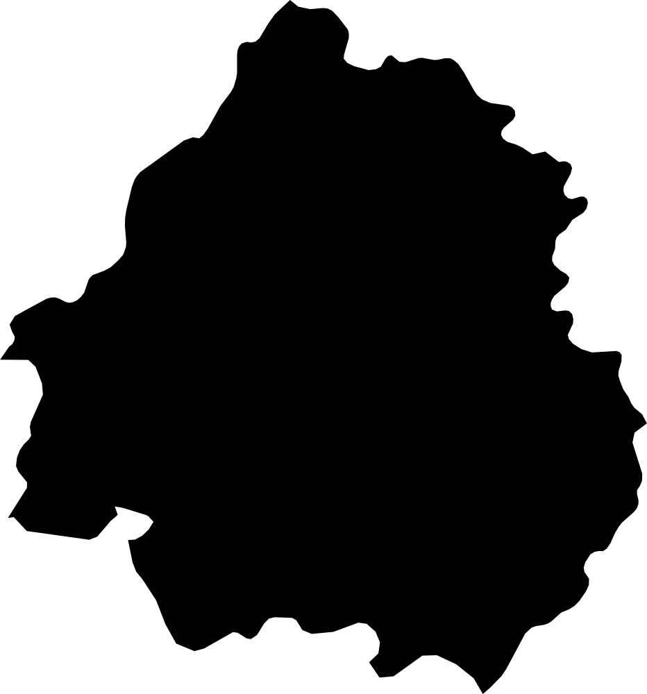 Geography
Dordogne, France
9,285.6 km² Area (map outline)
Explore · approximate map area
Metropolitan department in France
Area calculated from the Natural Earth 5.1.1 generalized map outline using a local equal-area projection. The answer uses the same simplified outline shown, including islands and holes. This is a map comparison, not a precise surveyed or legal area.
Natural Earth 5.1.1 — Admin 1 states and provinces ↗Artwork: Natural Earth 5.1.1; projected and simplified by scripts/import-geography.py · Public domain
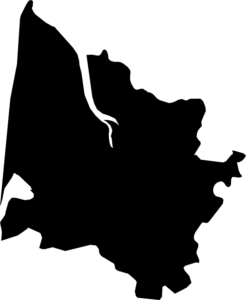 Geography
Gironde, France
10,155.1 km² Area (map outline)
Explore · approximate map area
Metropolitan department in France
Area calculated from the Natural Earth 5.1.1 generalized map outline using a local equal-area projection. The answer uses the same simplified outline shown, including islands and holes. This is a map comparison, not a precise surveyed or legal area.
Natural Earth 5.1.1 — Admin 1 states and provinces ↗Artwork: Natural Earth 5.1.1; projected and simplified by scripts/import-geography.py · Public domain
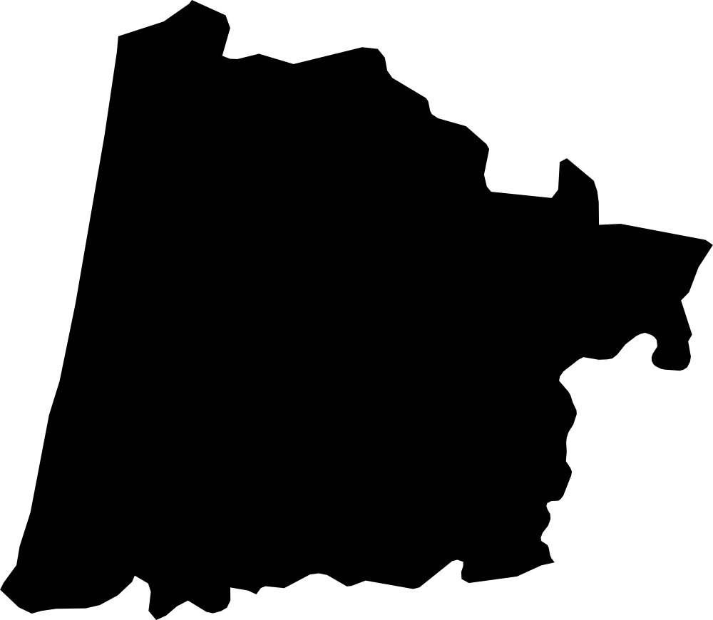 Geography
Landes, France
9,401.5 km² Area (map outline)
Explore · approximate map area
Metropolitan department in France
Area calculated from the Natural Earth 5.1.1 generalized map outline using a local equal-area projection. The answer uses the same simplified outline shown, including islands and holes. This is a map comparison, not a precise surveyed or legal area.
Natural Earth 5.1.1 — Admin 1 states and provinces ↗Artwork: Natural Earth 5.1.1; projected and simplified by scripts/import-geography.py · Public domain
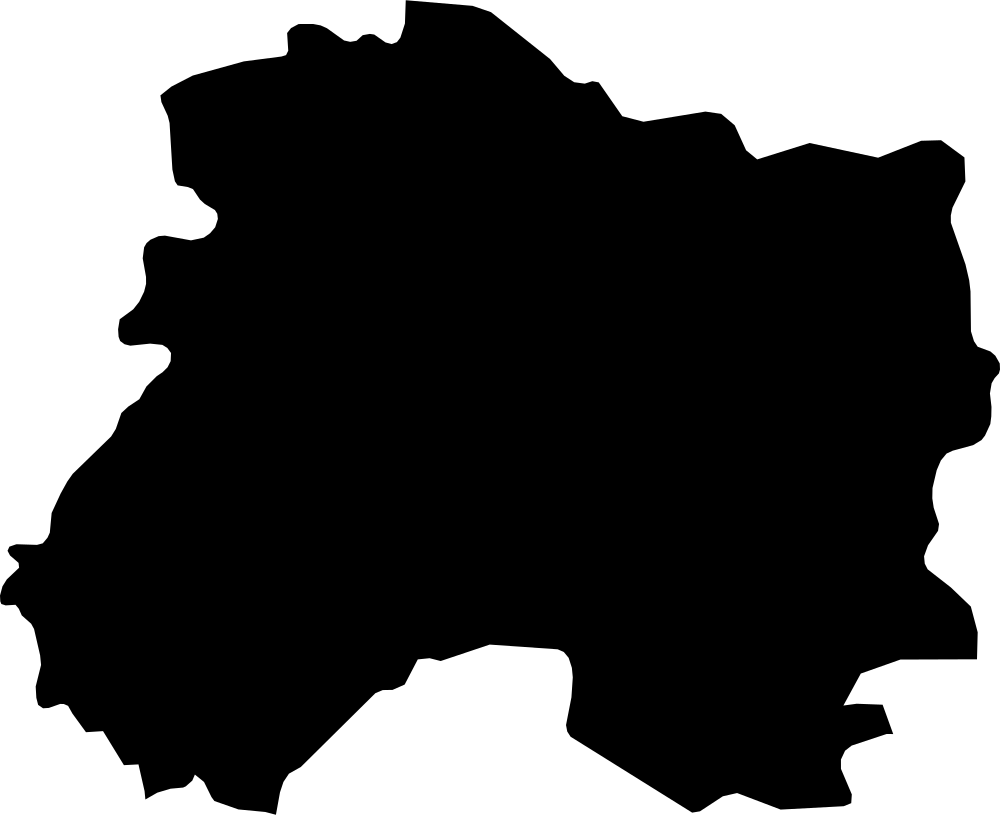 Geography
Marne, France
8,100.6 km² Area (map outline)
Explore · approximate map area
Metropolitan department in France
Area calculated from the Natural Earth 5.1.1 generalized map outline using a local equal-area projection. The answer uses the same simplified outline shown, including islands and holes. This is a map comparison, not a precise surveyed or legal area.
Natural Earth 5.1.1 — Admin 1 states and provinces ↗Artwork: Natural Earth 5.1.1; projected and simplified by scripts/import-geography.py · Public domain
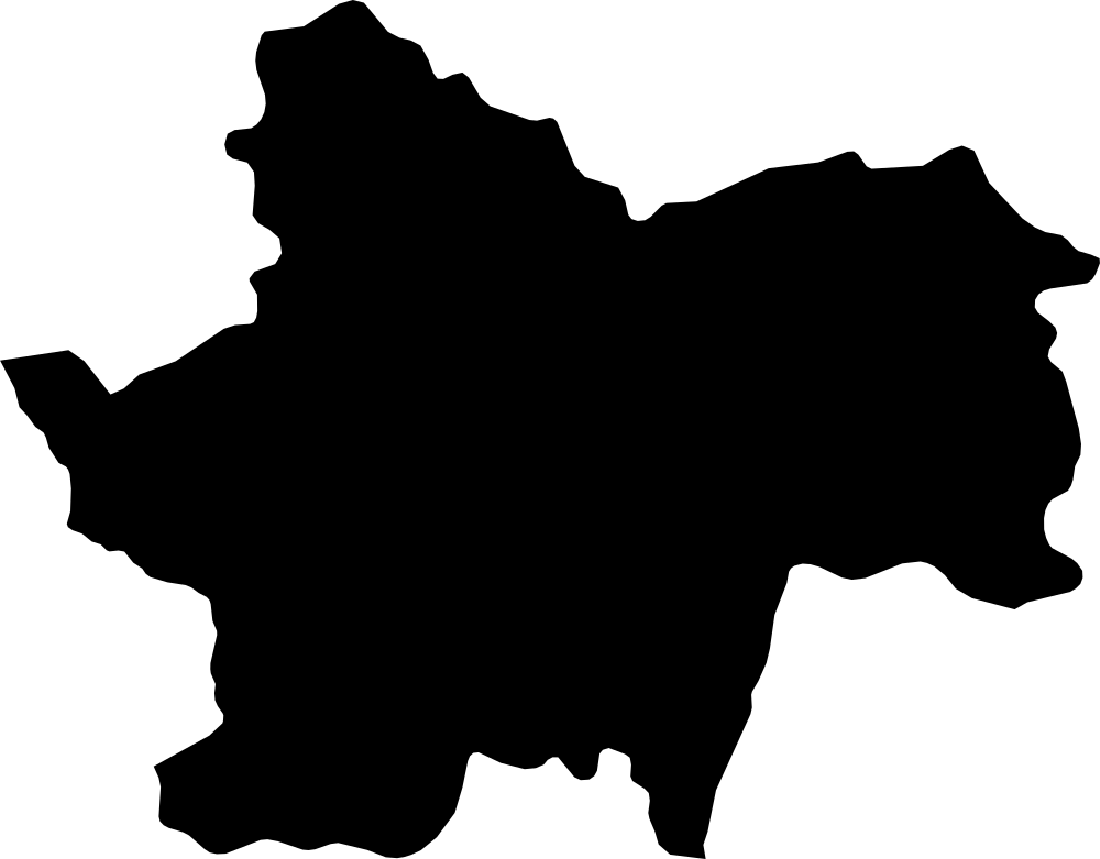 Geography
Saône-et-Loire, France
8,692.8 km² Area (map outline)
Explore · approximate map area
Metropolitan department in France
Area calculated from the Natural Earth 5.1.1 generalized map outline using a local equal-area projection. The answer uses the same simplified outline shown, including islands and holes. This is a map comparison, not a precise surveyed or legal area.
Natural Earth 5.1.1 — Admin 1 states and provinces ↗Artwork: Natural Earth 5.1.1; projected and simplified by scripts/import-geography.py · Public domain
 Geography
Pohnpei State, Federated States of Micronesia
398 km² Area (map outline)
Explore · approximate map area
Administrative region in Federated States of Micronesia
Area calculated from the Natural Earth 5.1.1 generalized map outline using a local equal-area projection. The answer uses the same simplified outline shown, including islands and holes. This is a map comparison, not a precise surveyed or legal area.
Reference only · outside game rotation
Natural Earth 5.1.1 — Admin 1 states and provinces ↗Artwork: Natural Earth 5.1.1; projected and simplified by scripts/import-geography.py · Public domain
 Geography
Chuuk State, Federated States of Micronesia
71.6 km² Area (map outline)
Explore · approximate map area
Administrative region in Federated States of Micronesia
Area calculated from the Natural Earth 5.1.1 generalized map outline using a local equal-area projection. The answer uses the same simplified outline shown, including islands and holes. This is a map comparison, not a precise surveyed or legal area.
Reference only · outside game rotation
Natural Earth 5.1.1 — Admin 1 states and provinces ↗Artwork: Natural Earth 5.1.1; projected and simplified by scripts/import-geography.py · Public domain
 Geography
Yap State, Federated States of Micronesia
94.6 km² Area (map outline)
Explore · approximate map area
Administrative region in Federated States of Micronesia
Area calculated from the Natural Earth 5.1.1 generalized map outline using a local equal-area projection. The answer uses the same simplified outline shown, including islands and holes. This is a map comparison, not a precise surveyed or legal area.
Reference only · outside game rotation
Natural Earth 5.1.1 — Admin 1 states and provinces ↗Artwork: Natural Earth 5.1.1; projected and simplified by scripts/import-geography.py · Public domain
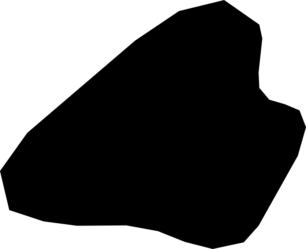 Geography
Kosrae, Federated States of Micronesia
113.7 km² Area (map outline)
Explore · approximate map area
Administrative region in Federated States of Micronesia
Area calculated from the Natural Earth 5.1.1 generalized map outline using a local equal-area projection. The answer uses the same simplified outline shown, including islands and holes. This is a map comparison, not a precise surveyed or legal area.
Natural Earth 5.1.1 — Admin 1 states and provinces ↗Artwork: Natural Earth 5.1.1; projected and simplified by scripts/import-geography.py · Public domain
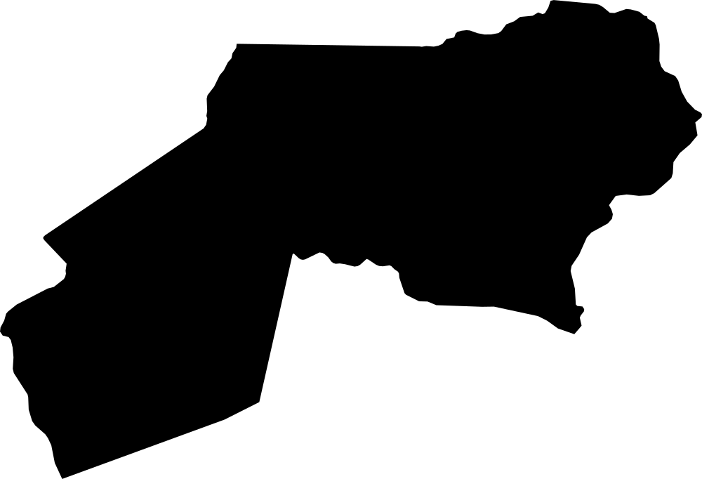 Geography
Ogooué-Ivindo, Gabon
42,838.2 km² Area (map outline)
Explore · approximate map area
Province in Gabon
Area calculated from the Natural Earth 5.1.1 generalized map outline using a local equal-area projection. The answer uses the same simplified outline shown, including islands and holes. This is a map comparison, not a precise surveyed or legal area.
Natural Earth 5.1.1 — Admin 1 states and provinces ↗Artwork: Natural Earth 5.1.1; projected and simplified by scripts/import-geography.py · Public domain
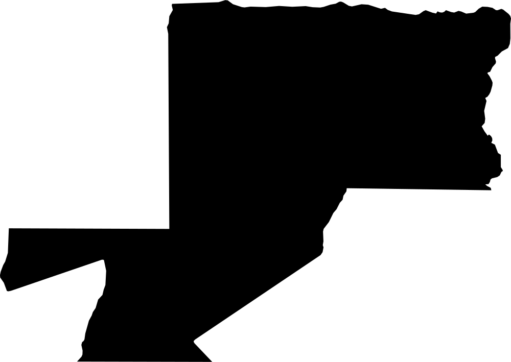 Geography
Woleu-Ntem, Gabon
37,883.6 km² Area (map outline)
Explore · approximate map area
Province in Gabon
Area calculated from the Natural Earth 5.1.1 generalized map outline using a local equal-area projection. The answer uses the same simplified outline shown, including islands and holes. This is a map comparison, not a precise surveyed or legal area.
Natural Earth 5.1.1 — Admin 1 states and provinces ↗Artwork: Natural Earth 5.1.1; projected and simplified by scripts/import-geography.py · Public domain
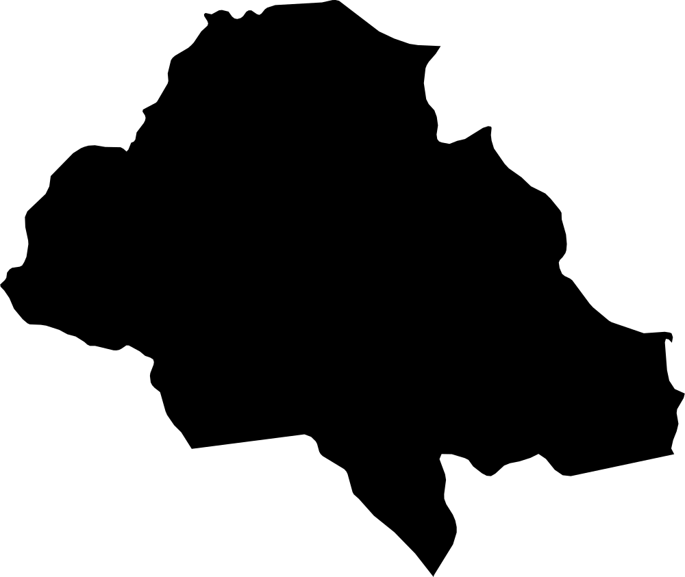 Geography
Ngounié, Gabon
37,435.5 km² Area (map outline)
Explore · approximate map area
Province in Gabon
Area calculated from the Natural Earth 5.1.1 generalized map outline using a local equal-area projection. The answer uses the same simplified outline shown, including islands and holes. This is a map comparison, not a precise surveyed or legal area.
Natural Earth 5.1.1 — Admin 1 states and provinces ↗Artwork: Natural Earth 5.1.1; projected and simplified by scripts/import-geography.py · Public domain
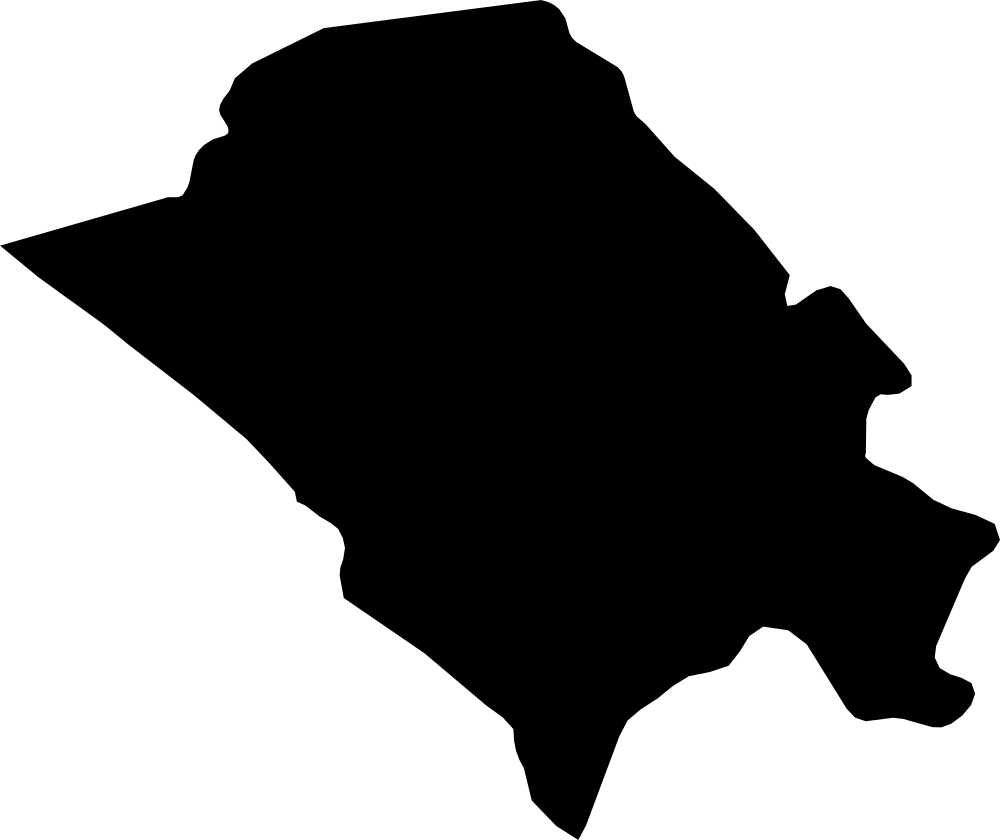 Geography
Nyanga, Gabon
20,053.8 km² Area (map outline)
Explore · approximate map area
Province in Gabon
Area calculated from the Natural Earth 5.1.1 generalized map outline using a local equal-area projection. The answer uses the same simplified outline shown, including islands and holes. This is a map comparison, not a precise surveyed or legal area.
Natural Earth 5.1.1 — Admin 1 states and provinces ↗Artwork: Natural Earth 5.1.1; projected and simplified by scripts/import-geography.py · Public domain
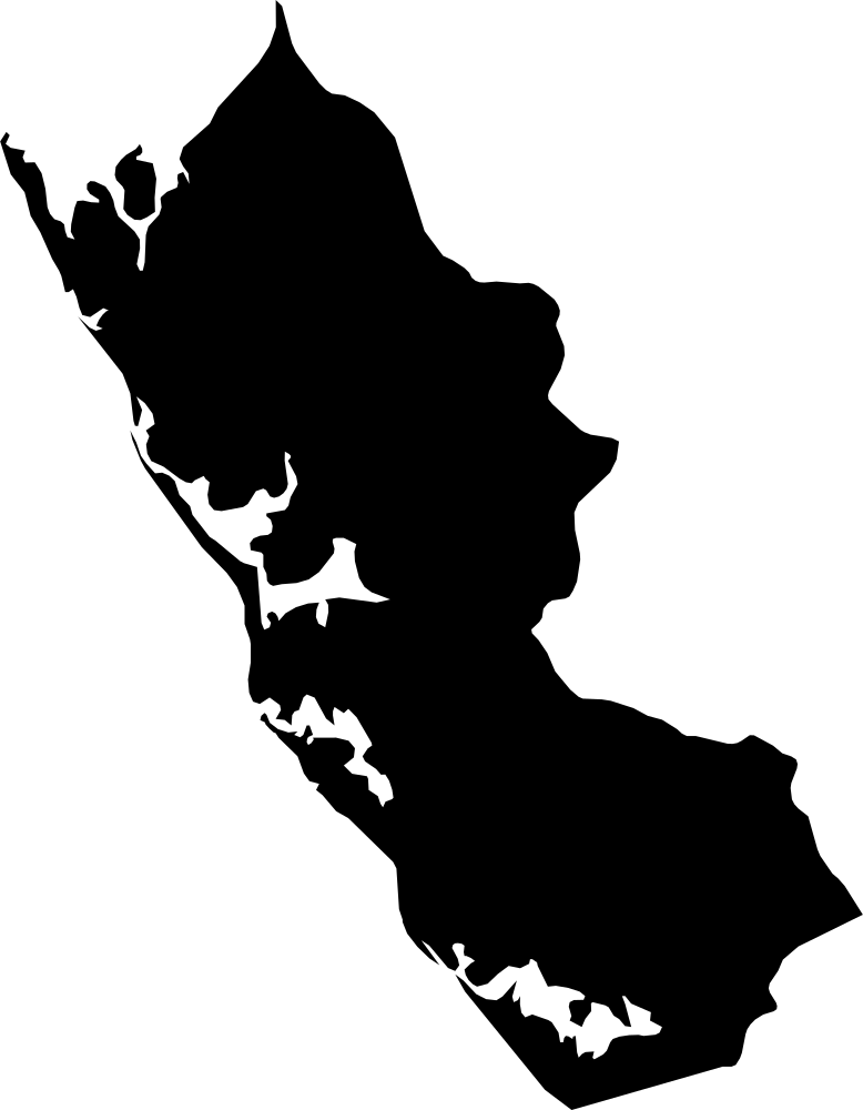 Geography
Ogooué-Maritime, Gabon
21,451.7 km² Area (map outline)
Explore · approximate map area
Province in Gabon
Area calculated from the Natural Earth 5.1.1 generalized map outline using a local equal-area projection. The answer uses the same simplified outline shown, including islands and holes. This is a map comparison, not a precise surveyed or legal area.
Natural Earth 5.1.1 — Admin 1 states and provinces ↗Artwork: Natural Earth 5.1.1; projected and simplified by scripts/import-geography.py · Public domain
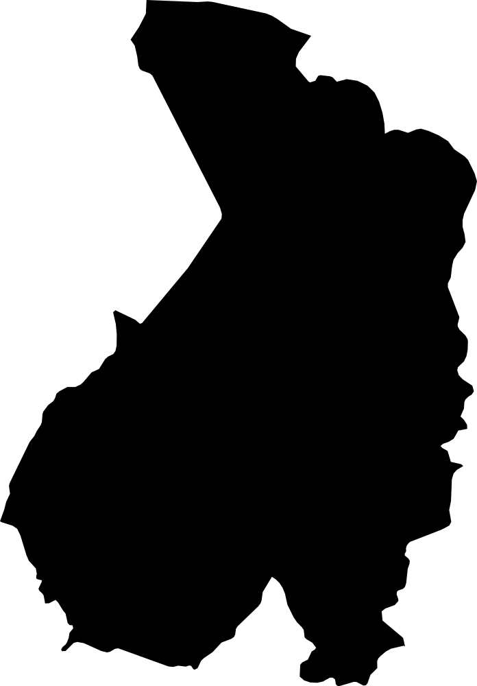 Geography
Haut-Ogooué, Gabon
33,778.7 km² Area (map outline)
Explore · approximate map area
Province in Gabon
Area calculated from the Natural Earth 5.1.1 generalized map outline using a local equal-area projection. The answer uses the same simplified outline shown, including islands and holes. This is a map comparison, not a precise surveyed or legal area.
Natural Earth 5.1.1 — Admin 1 states and provinces ↗Artwork: Natural Earth 5.1.1; projected and simplified by scripts/import-geography.py · Public domain
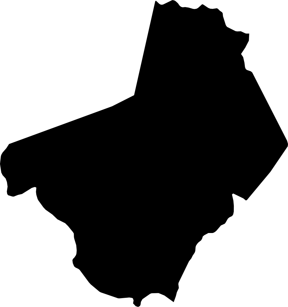 Geography
Ogooué-Lolo, Gabon
28,988.7 km² Area (map outline)
Explore · approximate map area
Province in Gabon
Area calculated from the Natural Earth 5.1.1 generalized map outline using a local equal-area projection. The answer uses the same simplified outline shown, including islands and holes. This is a map comparison, not a precise surveyed or legal area.
Natural Earth 5.1.1 — Admin 1 states and provinces ↗Artwork: Natural Earth 5.1.1; projected and simplified by scripts/import-geography.py · Public domain
 Geography
Gaza, Palestine
339.5 km² Area (map outline)
Explore · approximate map area
Administrative region in Palestine
Area calculated from the Natural Earth 5.1.1 generalized map outline using a local equal-area projection. The answer uses the same simplified outline shown, including islands and holes. This is a map comparison, not a precise surveyed or legal area.
Natural Earth 5.1.1 — Admin 1 states and provinces ↗Artwork: Natural Earth 5.1.1; projected and simplified by scripts/import-geography.py · Public domain
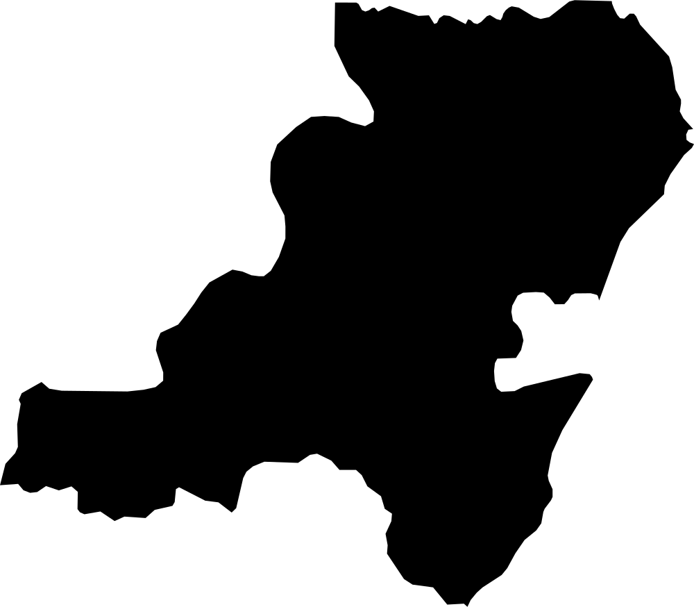 Geography
Aberdeenshire, United Kingdom
6,343 km² Area (map outline)
Explore · approximate map area
Unitary District in United Kingdom
Area calculated from the Natural Earth 5.1.1 generalized map outline using a local equal-area projection. The answer uses the same simplified outline shown, including islands and holes. This is a map comparison, not a precise surveyed or legal area.
Natural Earth 5.1.1 — Admin 1 states and provinces ↗Artwork: Natural Earth 5.1.1; projected and simplified by scripts/import-geography.py · Public domain
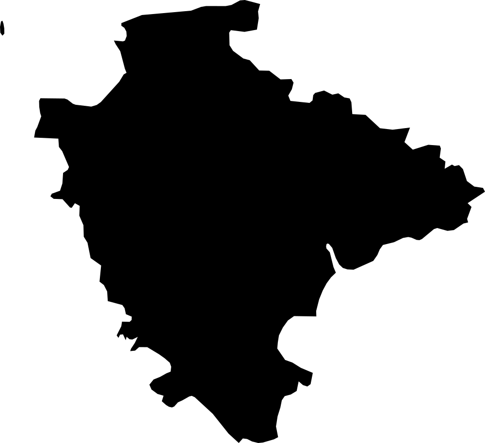 Geography
Devon, United Kingdom
6,588.4 km² Area (map outline)
Explore · approximate map area
Administrative County in United Kingdom
Area calculated from the Natural Earth 5.1.1 generalized map outline using a local equal-area projection. The answer uses the same simplified outline shown, including islands and holes. This is a map comparison, not a precise surveyed or legal area.
Natural Earth 5.1.1 — Admin 1 states and provinces ↗Artwork: Natural Earth 5.1.1; projected and simplified by scripts/import-geography.py · Public domain
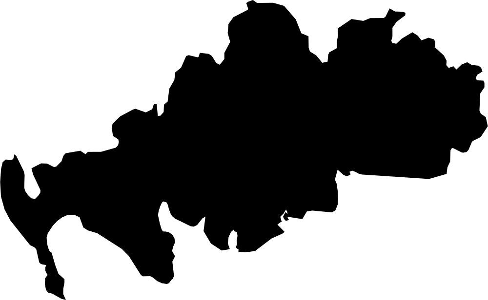 Geography
Dumfries and Galloway, United Kingdom
6,404.4 km² Area (map outline)
Explore · approximate map area
Unitary District in United Kingdom
Area calculated from the Natural Earth 5.1.1 generalized map outline using a local equal-area projection. The answer uses the same simplified outline shown, including islands and holes. This is a map comparison, not a precise surveyed or legal area.
Natural Earth 5.1.1 — Admin 1 states and provinces ↗Artwork: Natural Earth 5.1.1; projected and simplified by scripts/import-geography.py · Public domain
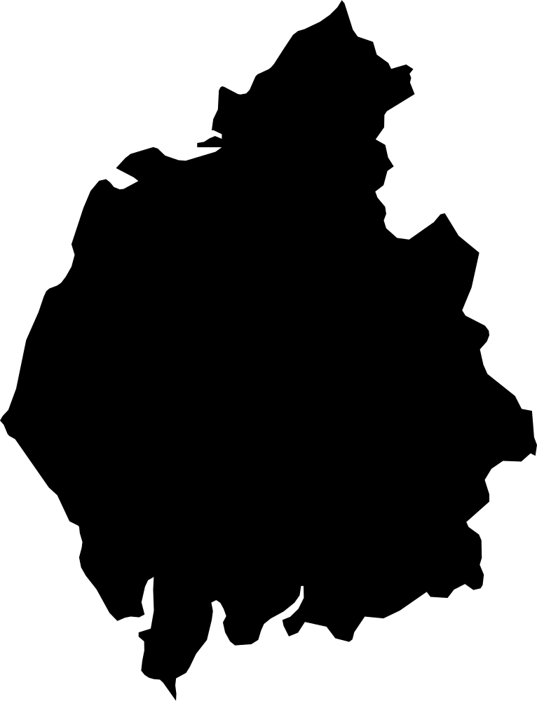 Geography
Cumbria, United Kingdom
6,827.1 km² Area (map outline)
Explore · approximate map area
Administrative County in United Kingdom
Area calculated from the Natural Earth 5.1.1 generalized map outline using a local equal-area projection. The answer uses the same simplified outline shown, including islands and holes. This is a map comparison, not a precise surveyed or legal area.
Natural Earth 5.1.1 — Admin 1 states and provinces ↗Artwork: Natural Earth 5.1.1; projected and simplified by scripts/import-geography.py · Public domain
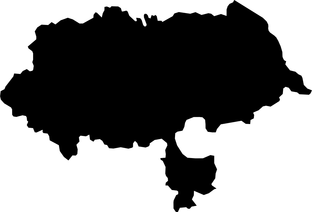 Geography
North Yorkshire, United Kingdom
7,982.2 km² Area (map outline)
Explore · approximate map area
Administrative County in United Kingdom
Area calculated from the Natural Earth 5.1.1 generalized map outline using a local equal-area projection. The answer uses the same simplified outline shown, including islands and holes. This is a map comparison, not a precise surveyed or legal area.
Natural Earth 5.1.1 — Admin 1 states and provinces ↗Artwork: Natural Earth 5.1.1; projected and simplified by scripts/import-geography.py · Public domain
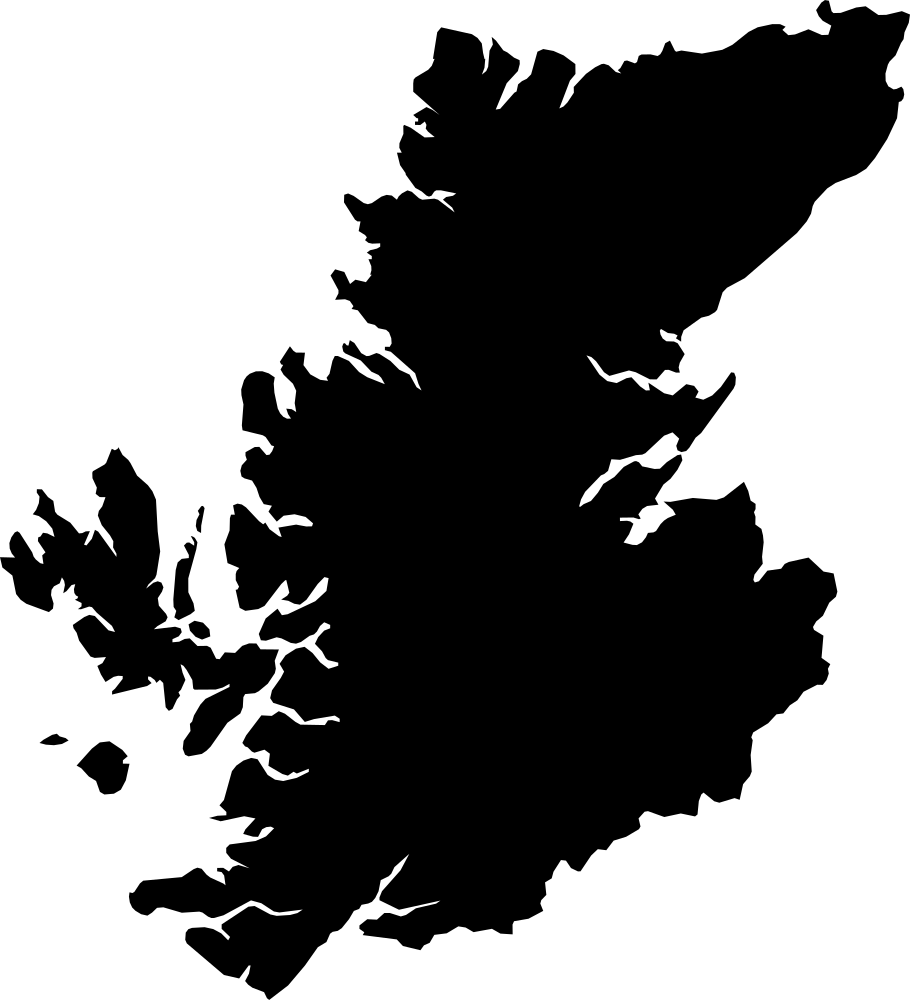 Geography
Highland, United Kingdom
25,810.1 km² Area (map outline)
Explore · approximate map area
Unitary District in United Kingdom
Area calculated from the Natural Earth 5.1.1 generalized map outline using a local equal-area projection. The answer uses the same simplified outline shown, including islands and holes. This is a map comparison, not a precise surveyed or legal area.
Natural Earth 5.1.1 — Admin 1 states and provinces ↗Artwork: Natural Earth 5.1.1; projected and simplified by scripts/import-geography.py · Public domain
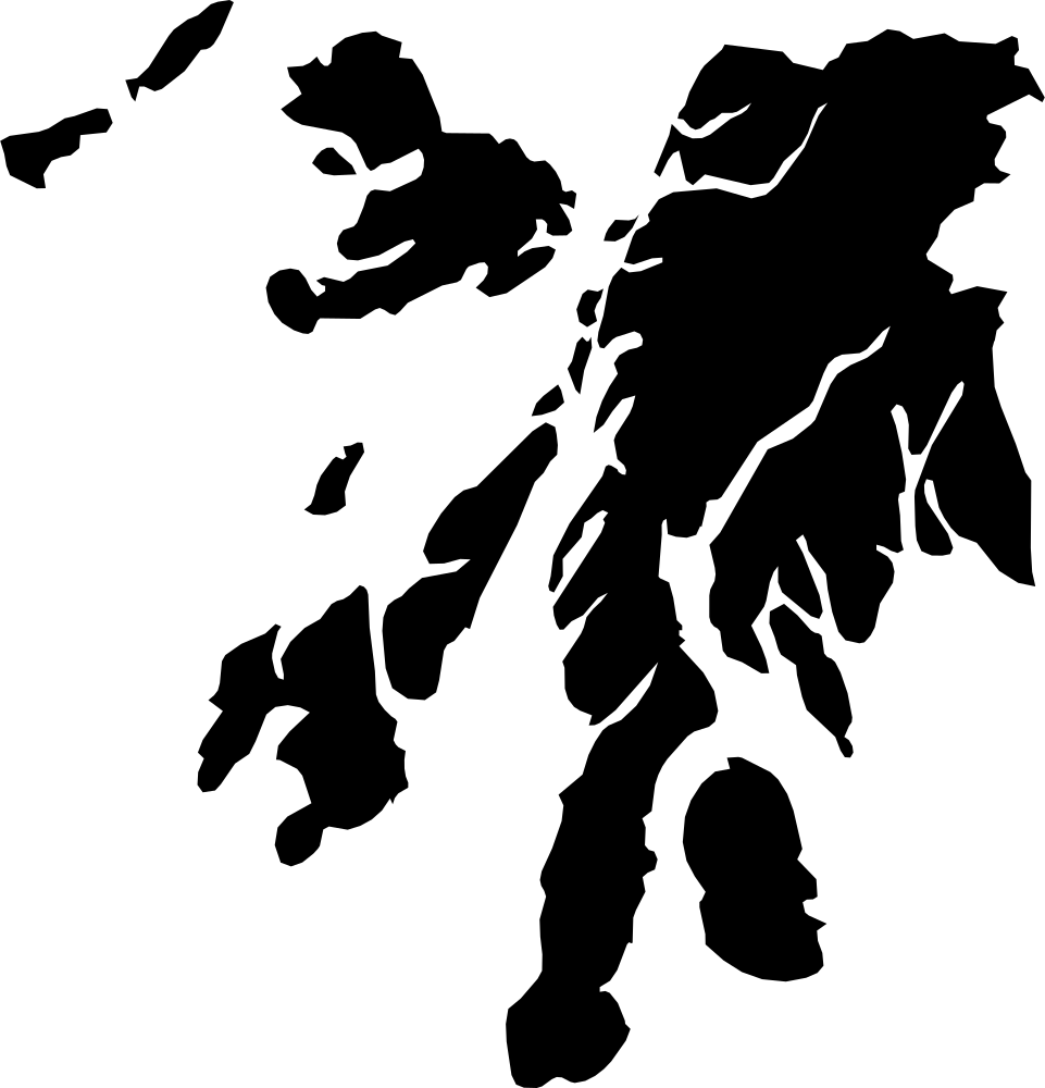 Geography
Argyll and Bute, United Kingdom
7,590.5 km² Area (map outline)
Explore · approximate map area
Unitary District in United Kingdom
Area calculated from the Natural Earth 5.1.1 generalized map outline using a local equal-area projection. The answer uses the same simplified outline shown, including islands and holes. This is a map comparison, not a precise surveyed or legal area.
Natural Earth 5.1.1 — Admin 1 states and provinces ↗Artwork: Natural Earth 5.1.1; projected and simplified by scripts/import-geography.py · Public domain
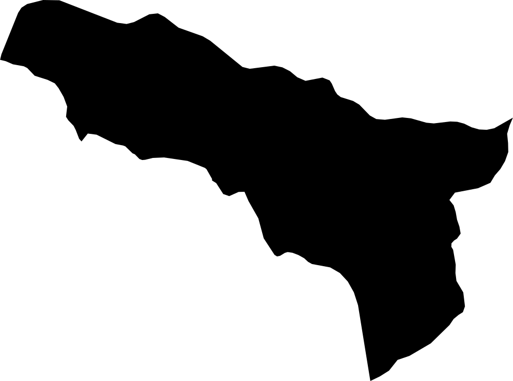 Geography
Abkhazia, Georgia
8,637.9 km² Area (map outline)
Explore · approximate map area
Autonomous Republic in Georgia
Area calculated from the Natural Earth 5.1.1 generalized map outline using a local equal-area projection. The answer uses the same simplified outline shown, including islands and holes. This is a map comparison, not a precise surveyed or legal area.
Natural Earth 5.1.1 — Admin 1 states and provinces ↗Artwork: Natural Earth 5.1.1; projected and simplified by scripts/import-geography.py · Public domain
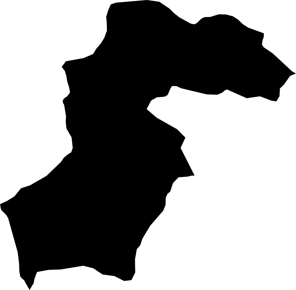 Geography
Samegrelo-Zemo Svaneti, Georgia
7,576.7 km² Area (map outline)
Explore · approximate map area
Region in Georgia
Area calculated from the Natural Earth 5.1.1 generalized map outline using a local equal-area projection. The answer uses the same simplified outline shown, including islands and holes. This is a map comparison, not a precise surveyed or legal area.
Natural Earth 5.1.1 — Admin 1 states and provinces ↗Artwork: Natural Earth 5.1.1; projected and simplified by scripts/import-geography.py · Public domain
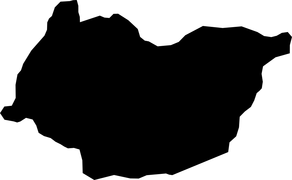 Geography
Imereti, Georgia
6,225.7 km² Area (map outline)
Explore · approximate map area
Region in Georgia
Area calculated from the Natural Earth 5.1.1 generalized map outline using a local equal-area projection. The answer uses the same simplified outline shown, including islands and holes. This is a map comparison, not a precise surveyed or legal area.
Natural Earth 5.1.1 — Admin 1 states and provinces ↗Artwork: Natural Earth 5.1.1; projected and simplified by scripts/import-geography.py · Public domain
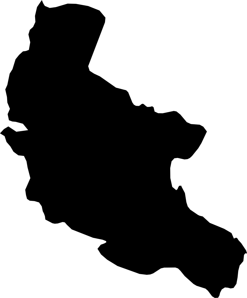 Geography
Kakheti, Georgia
11,195.8 km² Area (map outline)
Explore · approximate map area
Region in Georgia
Area calculated from the Natural Earth 5.1.1 generalized map outline using a local equal-area projection. The answer uses the same simplified outline shown, including islands and holes. This is a map comparison, not a precise surveyed or legal area.
Natural Earth 5.1.1 — Admin 1 states and provinces ↗Artwork: Natural Earth 5.1.1; projected and simplified by scripts/import-geography.py · Public domain
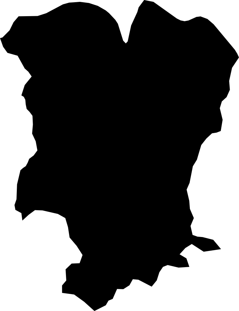 Geography
Mtskheta-Mtianeti, Georgia
6,960.1 km² Area (map outline)
Explore · approximate map area
Region in Georgia
Area calculated from the Natural Earth 5.1.1 generalized map outline using a local equal-area projection. The answer uses the same simplified outline shown, including islands and holes. This is a map comparison, not a precise surveyed or legal area.
Natural Earth 5.1.1 — Admin 1 states and provinces ↗Artwork: Natural Earth 5.1.1; projected and simplified by scripts/import-geography.py · Public domain
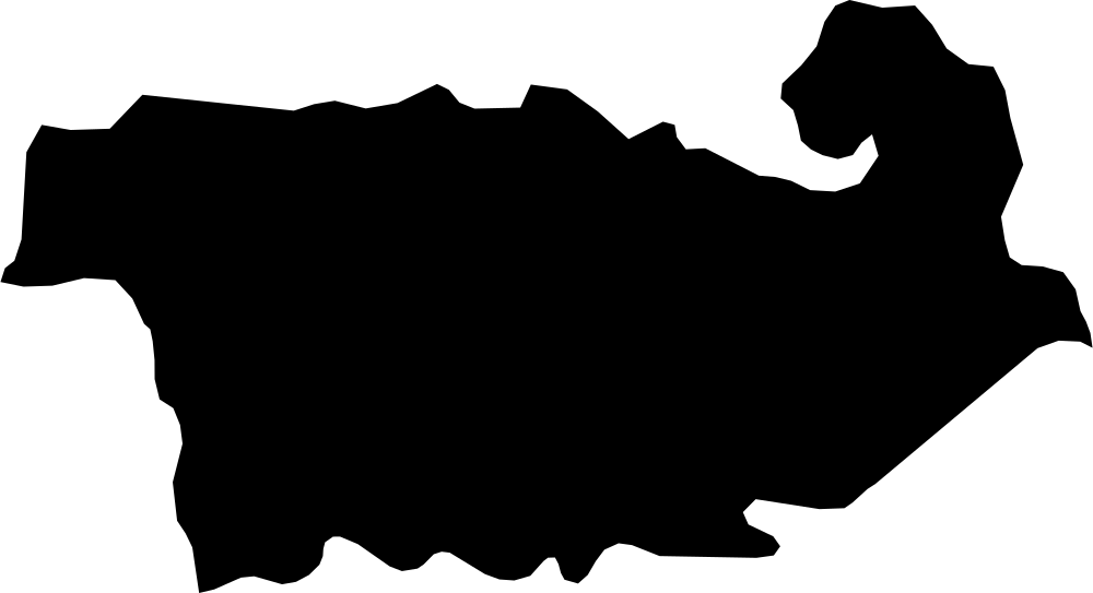 Geography
Kvemo Kartli, Georgia
6,418.3 km² Area (map outline)
Explore · approximate map area
Region in Georgia
Area calculated from the Natural Earth 5.1.1 generalized map outline using a local equal-area projection. The answer uses the same simplified outline shown, including islands and holes. This is a map comparison, not a precise surveyed or legal area.
Natural Earth 5.1.1 — Admin 1 states and provinces ↗Artwork: Natural Earth 5.1.1; projected and simplified by scripts/import-geography.py · Public domain
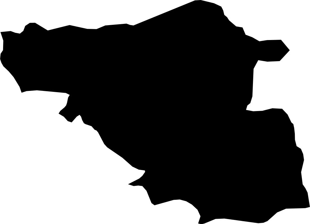 Geography
Samtskhe–Javakheti, Georgia
6,531.8 km² Area (map outline)
Explore · approximate map area
Region in Georgia
Area calculated from the Natural Earth 5.1.1 generalized map outline using a local equal-area projection. The answer uses the same simplified outline shown, including islands and holes. This is a map comparison, not a precise surveyed or legal area.
Natural Earth 5.1.1 — Admin 1 states and provinces ↗Artwork: Natural Earth 5.1.1; projected and simplified by scripts/import-geography.py · Public domain
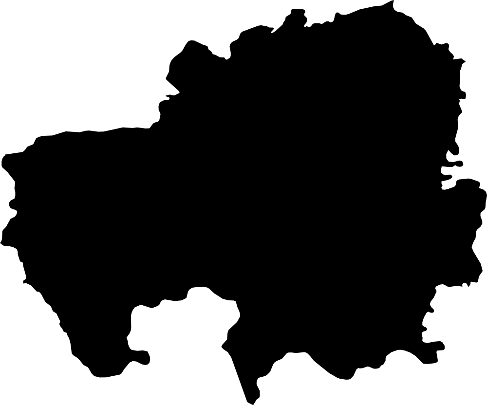 Geography
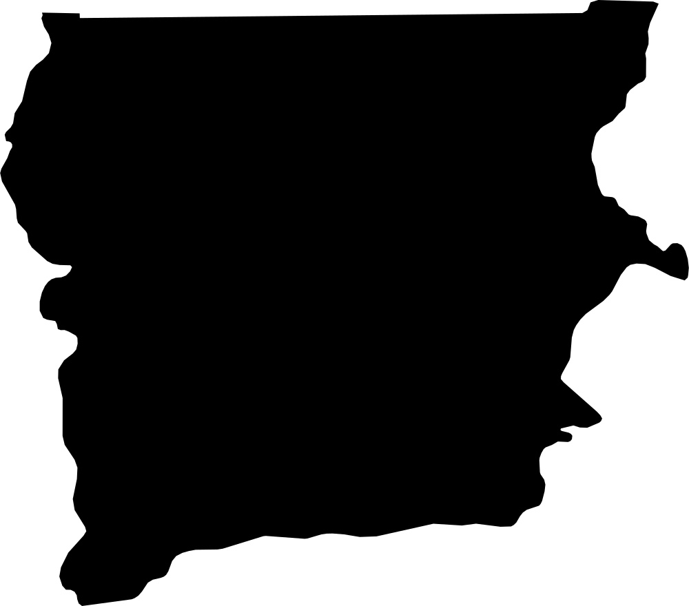
Northern, Ghana
69,423.9 km² Area (map outline)
Explore · approximate map area
Region in Ghana
Area calculated from the Natural Earth 5.1.1 generalized map outline using a local equal-area projection. The answer uses the same simplified outline shown, including islands and holes. This is a map comparison, not a precise surveyed or legal area.
Natural Earth 5.1.1 — Admin 1 states and provinces ↗Artwork: Natural Earth 5.1.1; projected and simplified by scripts/import-geography.py · Public domain
 Geography
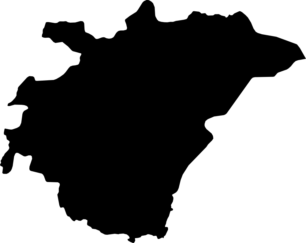
Upper West, Ghana
18,522.7 km² Area (map outline)
Explore · approximate map area
Region in Ghana
Area calculated from the Natural Earth 5.1.1 generalized map outline using a local equal-area projection. The answer uses the same simplified outline shown, including islands and holes. This is a map comparison, not a precise surveyed or legal area.
Natural Earth 5.1.1 — Admin 1 states and provinces ↗Artwork: Natural Earth 5.1.1; projected and simplified by scripts/import-geography.py · Public domain
 Geography
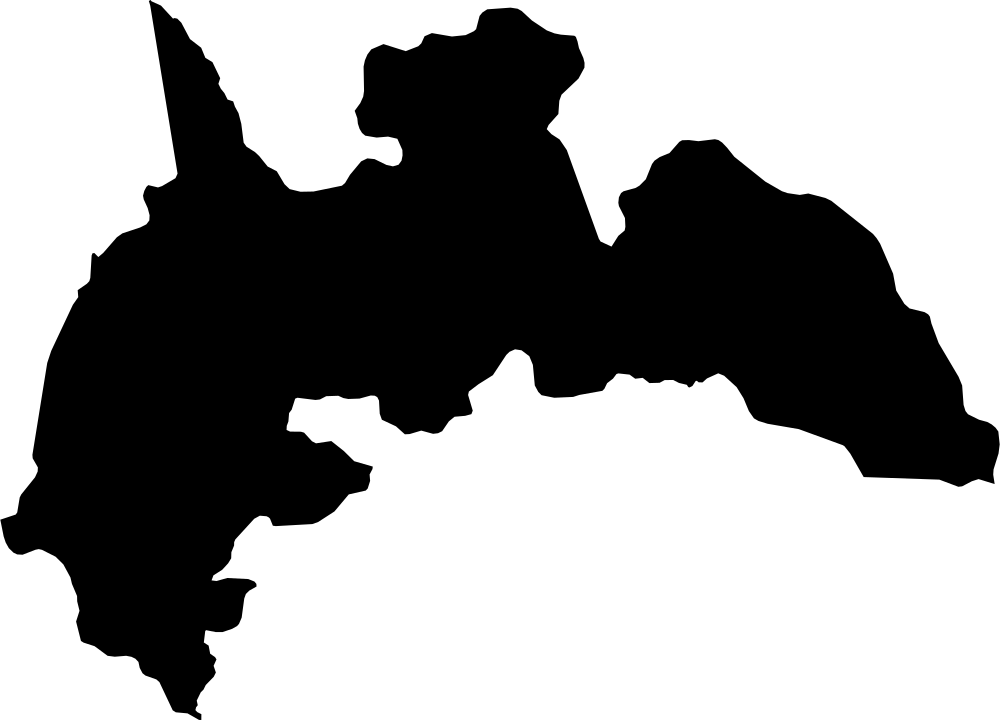
Ashanti, Ghana
24,895.5 km² Area (map outline)
Explore · approximate map area
Region in Ghana
Area calculated from the Natural Earth 5.1.1 generalized map outline using a local equal-area projection. The answer uses the same simplified outline shown, including islands and holes. This is a map comparison, not a precise surveyed or legal area.
Natural Earth 5.1.1 — Admin 1 states and provinces ↗Artwork: Natural Earth 5.1.1; projected and simplified by scripts/import-geography.py · Public domain
 Geography
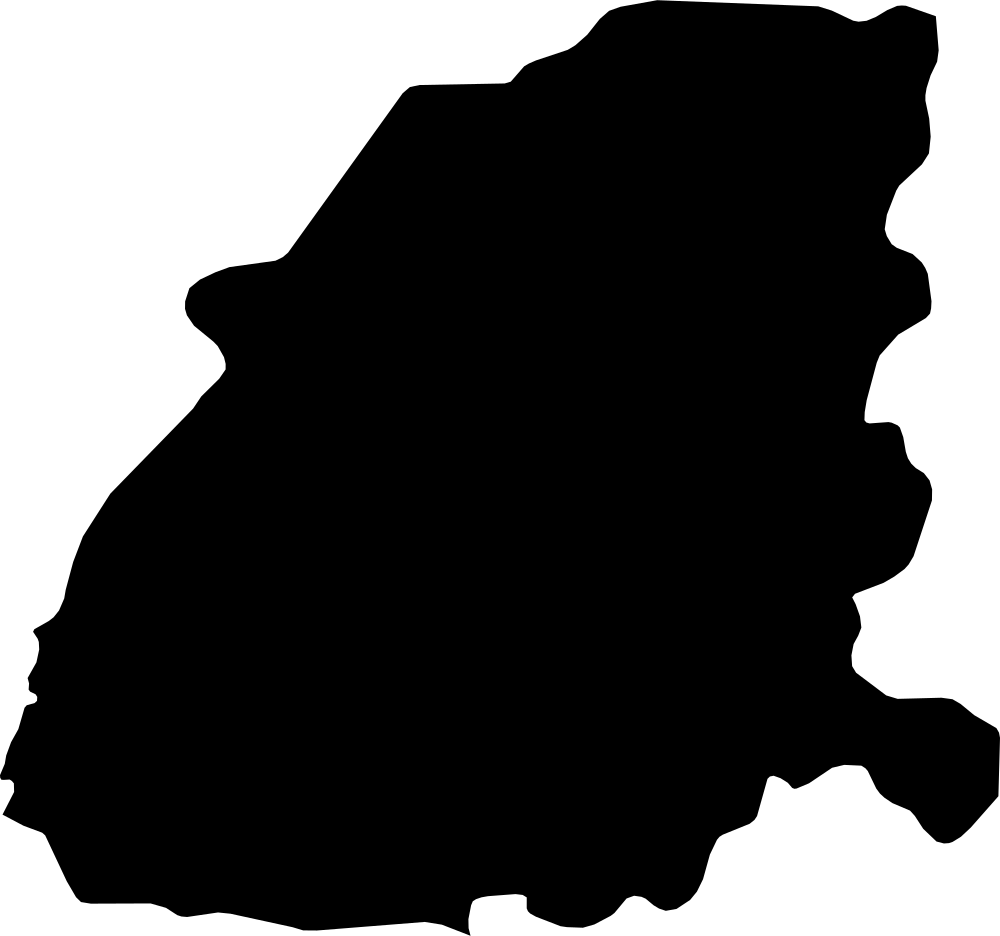
Brong-Ahafo, Ghana
39,804.3 km² Area (map outline)
Explore · approximate map area
Region in Ghana
Area calculated from the Natural Earth 5.1.1 generalized map outline using a local equal-area projection. The answer uses the same simplified outline shown, including islands and holes. This is a map comparison, not a precise surveyed or legal area.
Natural Earth 5.1.1 — Admin 1 states and provinces ↗Artwork: Natural Earth 5.1.1; projected and simplified by scripts/import-geography.py · Public domain
 Geography
Eastern, Ghana
19,238.1 km² Area (map outline)
Explore · approximate map area
Region in Ghana
Area calculated from the Natural Earth 5.1.1 generalized map outline using a local equal-area projection. The answer uses the same simplified outline shown, including islands and holes. This is a map comparison, not a precise surveyed or legal area.
Natural Earth 5.1.1 — Admin 1 states and provinces ↗Artwork: Natural Earth 5.1.1; projected and simplified by scripts/import-geography.py · Public domain
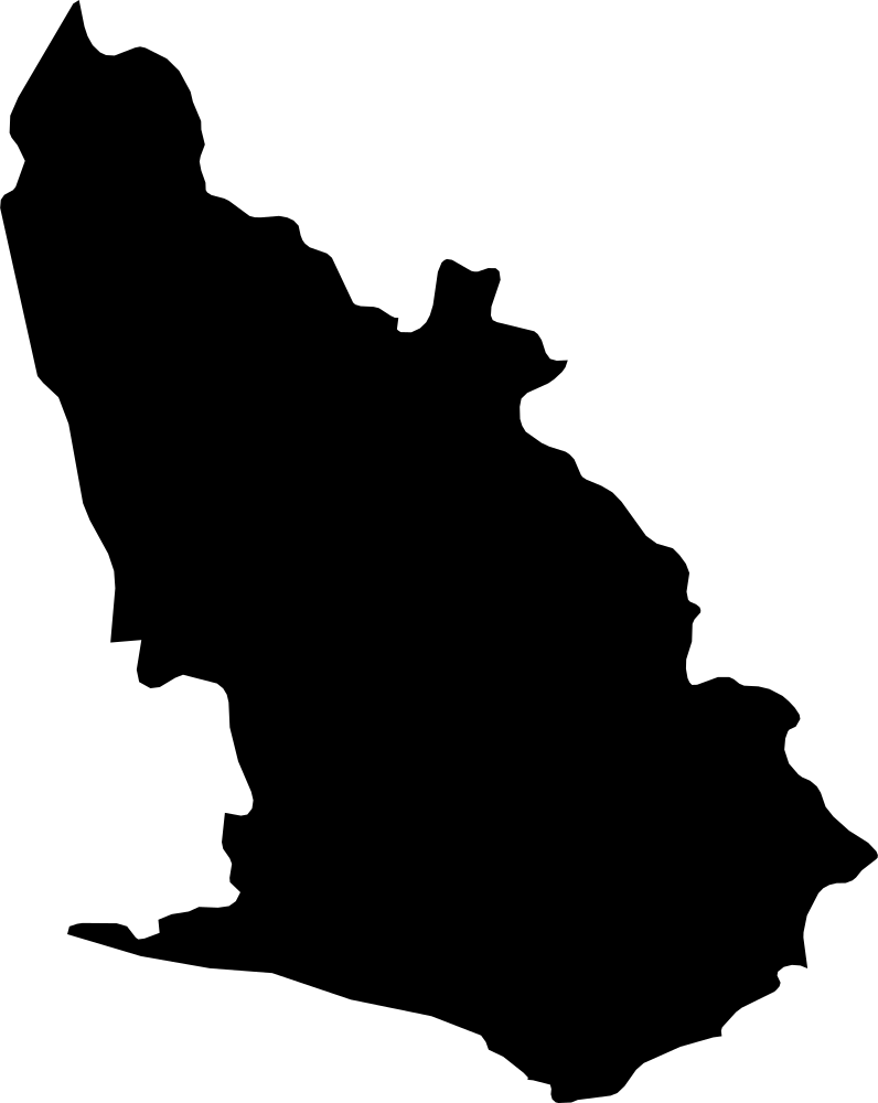 Geography
Western, Ghana
25,119 km² Area (map outline)
Explore · approximate map area
Region in Ghana
Area calculated from the Natural Earth 5.1.1 generalized map outline using a local equal-area projection. The answer uses the same simplified outline shown, including islands and holes. This is a map comparison, not a precise surveyed or legal area.
Natural Earth 5.1.1 — Admin 1 states and provinces ↗Artwork: Natural Earth 5.1.1; projected and simplified by scripts/import-geography.py · Public domain
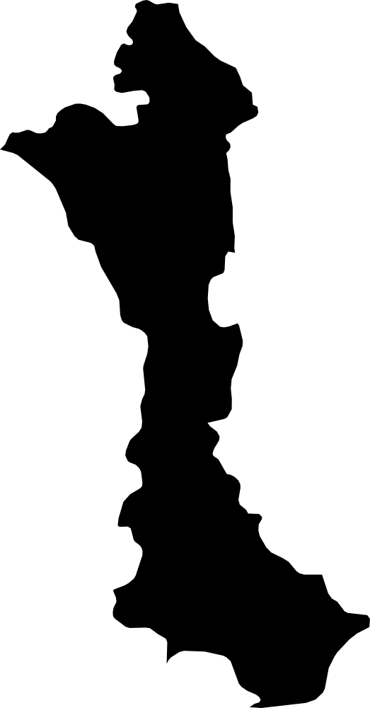 Geography
Volta, Ghana
20,004.8 km² Area (map outline)
Explore · approximate map area
Region in Ghana
Area calculated from the Natural Earth 5.1.1 generalized map outline using a local equal-area projection. The answer uses the same simplified outline shown, including islands and holes. This is a map comparison, not a precise surveyed or legal area.
Natural Earth 5.1.1 — Admin 1 states and provinces ↗Artwork: Natural Earth 5.1.1; projected and simplified by scripts/import-geography.py · Public domain
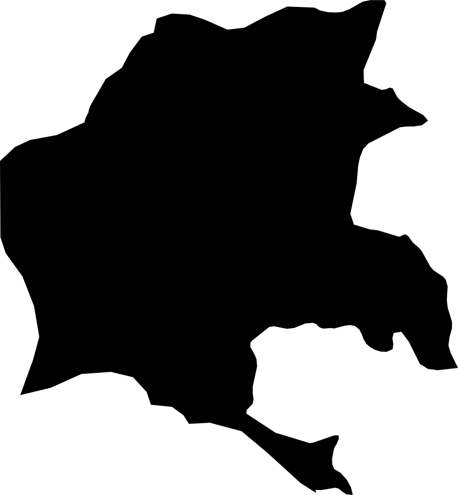 Geography
Beyla Prefecture, Guinea
12,640.5 km² Area (map outline)
Explore · approximate map area
Prefecture in Guinea
Area calculated from the Natural Earth 5.1.1 generalized map outline using a local equal-area projection. The answer uses the same simplified outline shown, including islands and holes. This is a map comparison, not a precise surveyed or legal area.
Natural Earth 5.1.1 — Admin 1 states and provinces ↗Artwork: Natural Earth 5.1.1; projected and simplified by scripts/import-geography.py · Public domain
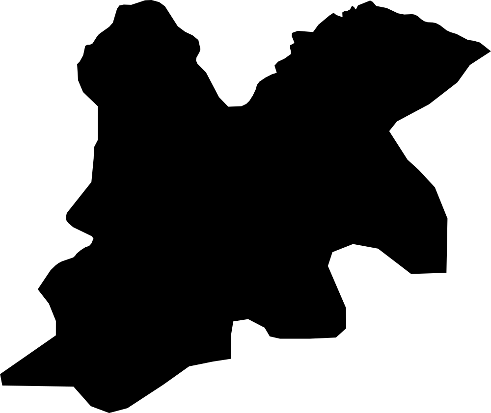 Geography
Dinguiraye Prefecture, Guinea
12,967.5 km² Area (map outline)
Explore · approximate map area
Prefecture in Guinea
Area calculated from the Natural Earth 5.1.1 generalized map outline using a local equal-area projection. The answer uses the same simplified outline shown, including islands and holes. This is a map comparison, not a precise surveyed or legal area.
Natural Earth 5.1.1 — Admin 1 states and provinces ↗Artwork: Natural Earth 5.1.1; projected and simplified by scripts/import-geography.py · Public domain